Stemainesbi in the Domesday Book (1086)
Stemainesbi is named in the Domesday Book, compiled by Norman commissioners in 1086, entered under the hundred of Dic in Yorkshire.
Other Settlements in Dic
- Aislaby
- Allerston
- Appleton [le Moors]
- Aschelesmersc
- Aschilesmares
- Barton [le Street]
- Baschebi
- Baschesbi
- Brompton
- Burniston
- Burton [Dale]
- Cawthorn
- Cayton
- Chigogemers
The Meaning of the Name
The origin of the name Stemainesbi is not securely established from its modern form alone; like many settlement names in the North it likely combines an Old English or Old Norse personal name with a landscape term.
Remarkably, the name has changed little since 1086, when the Domesday scribes wrote it as Stemainesbi.
Listed Buildings Near Stemainesbi
Historic England records 23 listed buildings within about a mile of Stemainesbi. Listing protects structures of special architectural or historic interest, graded I (exceptional), II* (particularly important) and II.
Grade II*
- Church of St Laurence - 0.72 km
Grade II
- Holt Cottage , the Holt and Scalby Holt - 0.41 km
- Gatepiers Within Yew Court Grounds, Approximately 10 Metres to West of House - 0.42 km
- Pinfold at Newby Farm, Approximately 30 Metres to North of House - 0.42 km
- Newby Barn Approximately 3 Metres to North of Newby Farmhouse - 0.43 km
- Pigsty at West End of Outhouse Approximately 25 Metres to North-east of Newby Farmhouse - 0.43 km
- Quoits Ground at Newby Farm Approximately 10 Metres to North of House - 0.44 km
- Newby Farmhouse - 0.45 km
- 431, Scalby Road - 0.47 km
- Melbourne House - 0.5 km
- 29 and 31, High Street - 0.52 km
- Howdale Cottage - 0.53 km
- The Nag’s Head Inn - 0.54 km
- Westmeade - 0.56 km
- Farm House and Outbuildings, High Mill Farm - 0.57 km
- Ivy Bank - 0.58 km
- The Manse - 0.59 km
- Holly Bank - 0.62 km
- War Memorial at the Church of St Laurence - 0.68 km
- Sundial Approximately 4 Metres South of the Porch of Church of St Laurence - 0.72 km
- 4, Church Beck - 0.81 km
- Summerhouse Approximately 50 Metres West of Low Hall Bungalow - 0.85 km
- Church of St Joseph (Roman Catholic) - 1.03 km
Stemainesbi Today
Today Stemainesbi lies within the administrative area of Newby and Scalby.
Read more about modern Scalby on Wikipedia .
Nearby Domesday Settlements
Other places recorded in the 1086 survey within a few miles:
- Stemanesbi - 0.0 km N
- Scalby - 1.0 km W
- Burniston - 2.0 km N
- Northfield Farm - 3.0 km W
- Suffield - 3.0 km W
- Falsgrave - 3.2 km S
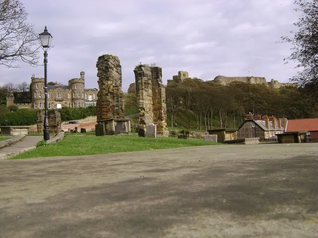
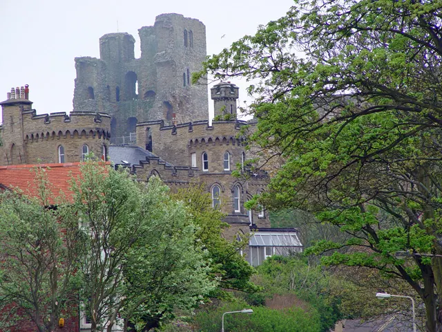
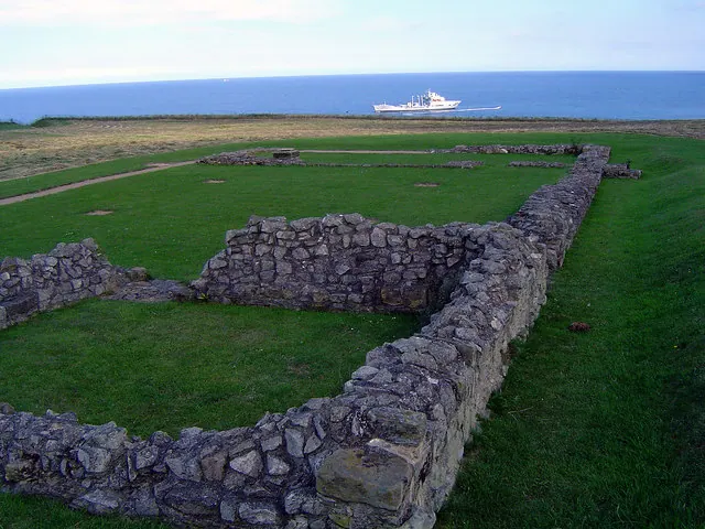
Heritage Around Stemainesbi
Photographs of churches, listed buildings and monuments in the vicinity, contributed by volunteers to the Geograph project and reused here under a Creative Commons licence.
© Maigheach-gheal · Geograph · CC BY-SA 2.0
© Peter Church · Geograph · CC BY-SA 2.0
© Scott Robinson · Geograph · CC BY-SA 2.0
Images © their respective photographers, licensed under CC BY-SA 2.0 and reused here with attribution. Photographs depict listed buildings, churches and monuments near this settlement and may show neighbouring villages.
Data derived from the Open Domesday project (opendomesday.org), based on the Domesday Book dataset compiled by Professor J.J.N. Palmer and team. The Domesday Book (1086) is in the public domain.
Found an inaccuracy? [email protected]