Steeton in the Domesday Book (1086)
The 1086 Domesday survey records the settlement of Steeton, entered under the hundred of Craven in Yorkshire.
Other Settlements in Craven
- Addingham
- Airton
- Anley
- Appletreewick
- Arncliffe
- Arnford
- Barnoldswick
- Bashall [Eaves]
- Battersby [Barn]
- Beamsley
- Birkby [Hall]
- Bogeuurde
- Bolton [Abbey]
- Bolton [by Bowland]
The Meaning of the Name
The name Steeton is of Anglo-Saxon origin. Its final element derives from the Old English word tūn, a farmstead or village. The first element is most likely a personal name or an early descriptive term, now difficult to recover with certainty. Taken together the name probably meant something close to ‘a farmstead’.
Remarkably, the name has changed little since 1086, when the Domesday scribes wrote it as Steeton.
Listed Buildings Near Steeton
Historic England records 21 listed buildings within about a mile of Steeton. Listing protects structures of special architectural or historic interest, graded I (exceptional), II* (particularly important) and II.
Grade II
- Milestone to Front of Number 10 - 0.15 km
- 1 and 2, St Stephen’s Road - 0.18 km
- Steeton Hall Farm - 0.19 km
- Walls and 2 Entrance Gate Piers Including Gates and Railings to South East of the Hall - 0.21 km
- Church of St. Stephen and attached wall and entrance gate-piers and gates - 0.21 km
- Steeton Hall the Low Hall - 0.22 km
- St Stephen’s Sunday School - 0.22 km
- Barn 12 Metres North East of the High Hall - 0.22 km
- The High Hall, Upper Hall, Emsley House - 0.24 km
- Ingle Nook - 0.27 km
- 14, 16, 18 and 20, High Street - 0.32 km
- Ww2 Pillbox and 2 Fire Posts South of Former Royal Ordnance Factory - 0.35 km
- The Hob Hill - 0.47 km
- Woodlands Mill - 0.48 km
- Steeton Tower and Adjoining Wall Victoria Tower and Adjoining Wall - 0.56 km
- Silsden Bridge - 0.71 km
- Gate Piers and Gates to Hawcliffe Rock - 0.78 km
- Footbridge 100 Metres North of Silsden Bridge - 0.8 km
- Curregate Nursing Home - 0.88 km
- Milestone 200 Metres North of Silsden Bridge - 0.94 km
- Steeton Manor Including Balustrade and Steps - 1.15 km
Steeton Today
Today Steeton lies within the administrative area of Steeton with Eastburn, and the settlement recorded a population of 4,375 at recent figures. Nine and a half centuries separate that figure from the small rural community the Domesday survey recorded here in 1086.
Read more about modern Steeton on Wikipedia .
Nearby Domesday Settlements
Other places recorded in the 1086 survey within a few miles:
Heritage Around Steeton
Photographs of churches, listed buildings and monuments in the vicinity, contributed by volunteers to the Geograph project and reused here under a Creative Commons licence.
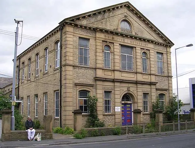
© Betty Longbottom · Geograph · CC BY-SA 2.0
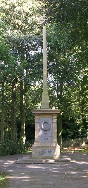
© Betty Longbottom · Geograph · CC BY-SA 2.0
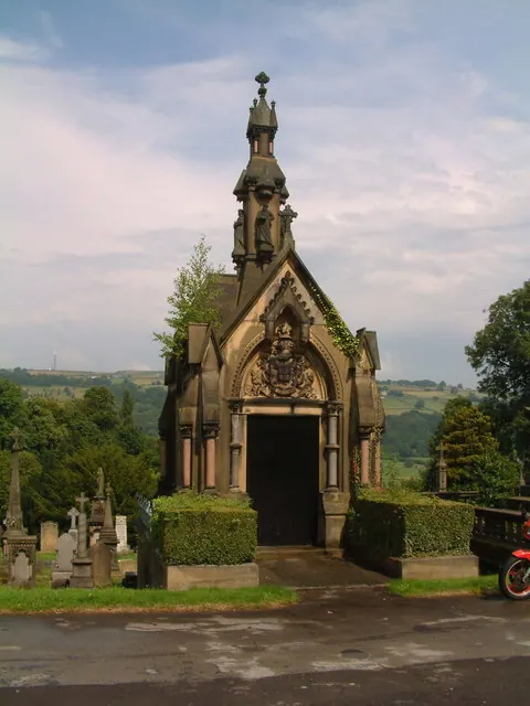
© Jeff Tomlinson · Geograph · CC BY-SA 2.0
Images © their respective photographers, licensed under CC BY-SA 2.0 and reused here with attribution. Photographs depict listed buildings, churches and monuments near this settlement and may show neighbouring villages.
Data derived from the Open Domesday project (opendomesday.org), based on the Domesday Book dataset compiled by Professor J.J.N. Palmer and team. The Domesday Book (1086) is in the public domain.
Found an inaccuracy? [email protected]