Staxton in the Domesday Book (1086)
The 1086 Domesday survey records the settlement of Staxton, entered under the hundred of Hunthow in Yorkshire. The survey assessed Staxton at 5 carucates of taxable land.
At the time of the survey, Staxton supported a recorded population of 4 villagers, 4 smallholders, 1 slave, working 6 ploughs between them.
By 1086 Staxton was worth 3 shillings, up from 2.5 shillings before the Conquest – which sets it apart from the many nearby villages left waste or devalued.
Other Settlements in Hunthow
- Auburn
- Bempton
- Bessingby
- Boynton
- Boynton [Hall]
- Bridlington
- Buckton
- Easton
- Flamborough
- Flixton
- Foxholes
- Fraisthorpe
- Grindale
- Hilderthorpe
The Meaning of the Name
The name Staxton is of Anglo-Saxon origin. Its final element derives from the Old English word tūn, a farmstead or village. The first element is most likely a personal name or an early descriptive term, now difficult to recover with certainty. Taken together the name probably meant something close to ‘a farmstead’.
Remarkably, the name has changed little since 1086, when the Domesday scribes wrote it as Staxton.
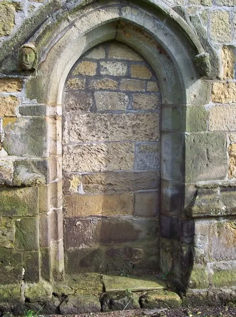
Listed Buildings Near Staxton
Historic England records 12 listed buildings within about a mile of Staxton. Listing protects structures of special architectural or historic interest, graded I (exceptional), II* (particularly important) and II.
Grade II*
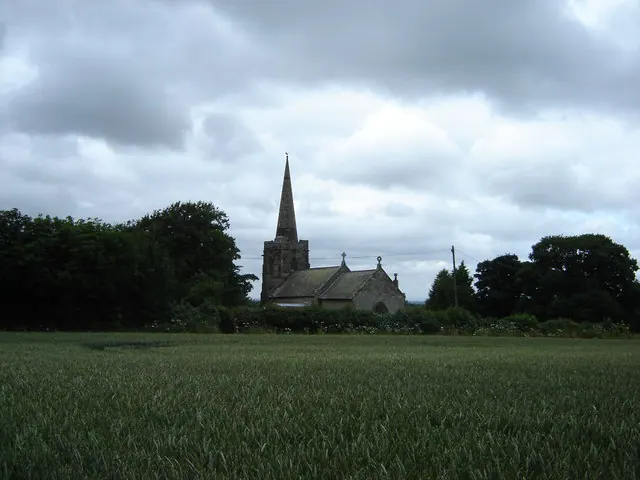
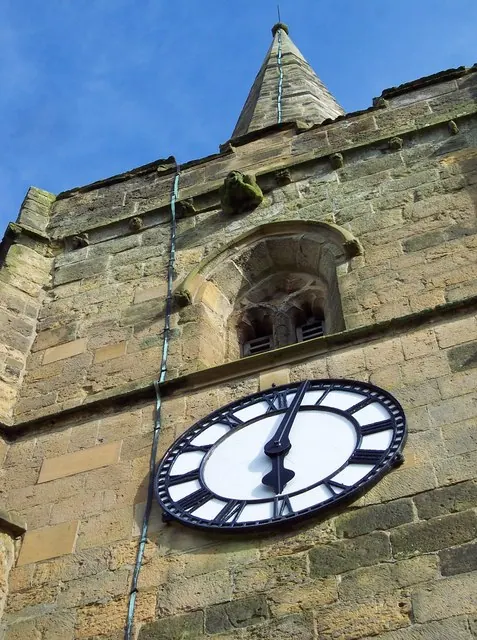
- Church of St Peter - 0.84 km
Grade II
- White Cottage and Attached Wall at Right - 0.36 km
- Methodist Church - 0.37 km
- Range of Buildings Attached to Hertford Cottage - 0.38 km
- Foldyard Wall and Attached Building at Rear of Staxton Farmhouse - 0.39 km
- Pear Tree Farmhouse - 0.43 km
- Staxton and Willerby War Memorial - 0.45 km
- Spital House Farmhouse - 0.73 km
- Range of Outbuildings Approximately 20 Metres North of Spital House - 0.73 km
- Range of Outbuildings Attached to North-east Corner of Spital House Farmhouse - 0.75 km
- Wall and Gateposts Approximately 10 Metres South of Church of St Peter - 0.85 km
- Milestone Approximately 200 Metres South of Willerby Grange - 0.89 km
Scheduled Monuments Near Staxton
Scheduled monuments are nationally important archaeological sites given legal protection. 3 lie within roughly a mile of Staxton:
- Hospital of St Mary, Staxton (site of) - 0.62 km
- Staxton Brow entrenchment - 1.35 km
- Two round barrows, Staxton Brow - 1.37 km
Staxton Today
Today Staxton lies within the administrative area of Ryedale.
Read more about modern Staxton on Wikipedia .
Nearby Domesday Settlements
Other places recorded in the 1086 survey within a few miles:
Heritage Around Staxton
Photographs of churches, listed buildings and monuments in the vicinity, contributed by volunteers to the Geograph project and reused here under a Creative Commons licence.
© Martin Dawes · Geograph · CC BY-SA 2.0
© Maigheach-gheal · Geograph · CC BY-SA 2.0
© Maigheach-gheal · Geograph · CC BY-SA 2.0
Images © their respective photographers, licensed under CC BY-SA 2.0 and reused here with attribution. Photographs depict listed buildings, churches and monuments near this settlement and may show neighbouring villages.
Data derived from the Open Domesday project (opendomesday.org), based on the Domesday Book dataset compiled by Professor J.J.N. Palmer and team. The Domesday Book (1086) is in the public domain.
Found an inaccuracy? [email protected]