Stapenhill in the Domesday Book (1086)
The 1086 Domesday survey records the settlement of Stapenhill, entered under the hundred of Offlow in STS.
Other Settlements in Offlow
- Agardsley
- Aldridge
- Alrewas
- Barr
- Barton [-under-Needwood]
- Bescot
- Bloxwich and [Little] Bloxwich
- Bradley and [Lower] Bradley
- Branston
- Burton [-upon-Trent]
- Clifton [Campville]
- Croxall
- Draycott [-in-the-Clay]
- Drayton [Bassett]
The Meaning of the Name
The origin of the name Stapenhill is not securely established from its modern form alone; like many settlement names in the North it likely combines an Old English or Old Norse personal name with a landscape term.
Remarkably, the name has changed little since 1086, when the Domesday scribes wrote it as Stapenhill.
Listed Buildings Near Stapenhill
Historic England records 97 listed buildings within about a mile of Stapenhill. Listing protects structures of special architectural or historic interest, graded I (exceptional), II* (particularly important) and II.
Grade I
- Church of St Modwen - 0.56 km
Grade II*
- The Abbey - 0.52 km
- Gates, Railings and Piers on West Side of Churchyard of Church of St Modwen - 0.6 km
- Burton upon Trent War Memorial - 0.64 km
Grade II
- St Peter’s Church - 0.34 km
- Stone Archways at Gateway to Cemetery - 0.4 km
- Andresey Bridge - 0.49 km
- Iron Shelter Approximately 300 Metres North West of Ferry Bridge - 0.53 km
- The Manor and former coach house - 0.56 km
- Ferry Bridge - 0.58 km
- Water Tower About 100 Metres to Rear of Offices of Bass’s Brewery - 0.59 km
- Burton upon Trent Market Hall - 0.59 km
- Assembly Rooms - 0.6 km
- 2, Friars Walk - 0.6 km
- 1, FRIAR’S WALK (See details for further address information) - 0.6 km
- 12, Market Place - 0.61 km
- 72, Main Street - 0.64 km
- The Old Farm - 0.64 km
- 146, High Street - 0.67 km
- 1, Lichfield Street - 0.68 km
- 10, Lichfield Street - 0.68 km
- 7, Green Street - 0.68 km
- Constitutional Club - 0.68 km
- Leopard Inn Public House - 0.68 km
…and 73 more listed structures in the area.
Scheduled Monuments Near Stapenhill
Scheduled monuments are nationally important archaeological sites given legal protection. 1 lies within roughly a mile of Stapenhill:
- Burton upon Trent Abbey - 0.55 km
Stapenhill Today
Today Stapenhill lies within the administrative area of East Staffordshire, and the settlement recorded a population of 8,192 at the 2021 census. Nine and a half centuries separate that figure from the small rural community the Domesday survey recorded here in 1086.
Read more about modern Stapenhill on Wikipedia .
Nearby Domesday Settlements
Other places recorded in the 1086 survey within a few miles:
- Winshill - 1.4 km NE
- Drakelowe - 2.2 km SW
- Stanton - 2.2 km SE
- Bretby - 4.1 km E
- Newton Solney - 4.2 km NE
- Hearthcote - 4.2 km SE
Heritage Around Stapenhill
Photographs of churches, listed buildings and monuments in the vicinity, contributed by volunteers to the Geograph project and reused here under a Creative Commons licence.
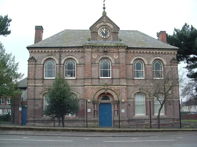
© Paul Gilliver · Geograph · CC BY-SA 2.0
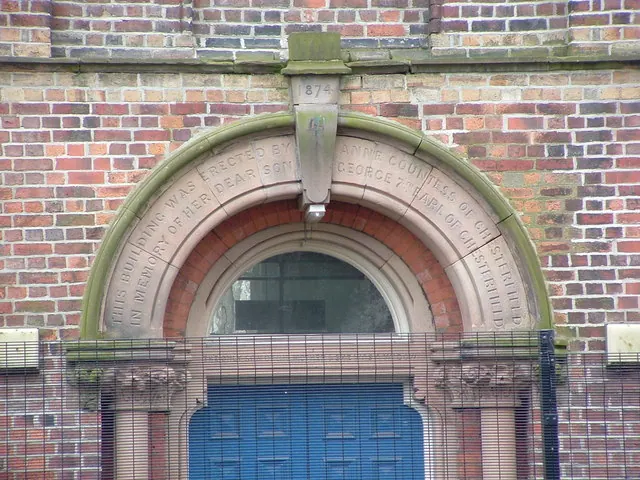
© Paul Gilliver · Geograph · CC BY-SA 2.0
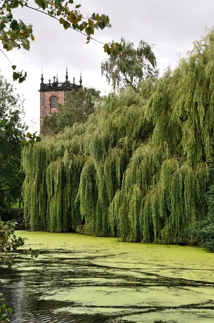
© Brian Chadwick · Geograph · CC BY-SA 2.0
Images © their respective photographers, licensed under CC BY-SA 2.0 and reused here with attribution. Photographs depict listed buildings, churches and monuments near this settlement and may show neighbouring villages.
Data derived from the Open Domesday project (opendomesday.org), based on the Domesday Book dataset compiled by Professor J.J.N. Palmer and team. The Domesday Book (1086) is in the public domain.
Found an inaccuracy? [email protected]