Stanton -in-Peak in the Domesday Book (1086)
The 1086 Domesday survey records the settlement of Stanton -in-Peak, entered under the hundred of Blackwell in Derbyshire.
Other Settlements in Blackwell
- Abney
- Ashford [-in-the-Water]
- Aston
- Bakewell
- Bamford
- Baslow
- Beeley
- Birchills
- Birchover
- Blackwell
- Bradwell
- Bubnell
- Burley
- Burton
The Meaning of the Name
The name Stanton -in-Peak is of Anglo-Saxon origin. Its final element derives from the Old English word tūn, a farmstead or village, while the first element appears to represent stone (OE stān). Taken together the name probably meant something close to ’the stone farmstead’.
Remarkably, the name has changed little since 1086, when the Domesday scribes wrote it as Stanton -in-Peak.
Listed Buildings Near Stanton -in-Peak
Historic England records 40 listed buildings within about a mile of Stanton -in-Peak. Listing protects structures of special architectural or historic interest, graded I (exceptional), II* (particularly important) and II.
Grade II*
- Holly House - 0.57 km
- Stanton Hall - 0.59 km
Grade II
- Stanton Wesleyan Reform Church and Attached Railings - 0.44 km
- Woodside - 0.45 km
- Ty Cerrig and Attached Cottage - 0.46 km
- Yew Tree Cottage - 0.5 km
- Gatepiers 65 Metres North East of Stanton Hall - 0.5 km
- Church View - 0.5 km
- Holy Trinity Church - 0.52 km
- Ivy Cottage - 0.53 km
- Ivy House - 0.54 km
- Gatepiers to N of Stanton Hall - 0.54 km
- House attached to west of Ivy House - 0.55 km
- Gatepiers and Wall to Ivy House - 0.55 km
- Range of Outbuildings to West of Stanton Hall - 0.56 km
- Mount Cottage - 0.57 km
- The Flying Childers Inn - 0.57 km
- Hall Gate cottage - 0.58 km
- The Mount - 0.58 km
- Cedar Cottage - 0.58 km
- Terrace Retaining Walls and Steps to East of Stanton Hall - 0.59 km
- Acorn Cottage - 0.59 km
- Gould Cottage - 0.6 km
- Home Farmhouse - 0.6 km
…and 16 more listed structures in the area.
Scheduled Monuments Near Stanton -in-Peak
Scheduled monuments are nationally important archaeological sites given legal protection. 2 lie within roughly a mile of Stanton -in-Peak:
- Bronze Age burial, ceremonial and settlement remains on Stanton Moor, and evidence for medieval, post-medieval and 19th to early 20th century activity - 1.34 km
- Hillcarr Sough and associated lime kiln and paved track - 1.44 km
Stanton -in-Peak Today
Today Stanton -in-Peak lies within the administrative area of Stanton.
Read more about modern Stanton in Peak on Wikipedia .
Nearby Domesday Settlements
Other places recorded in the 1086 survey within a few miles:
Heritage Around Stanton [-in-Peak]
Photographs of churches, listed buildings and monuments in the vicinity, contributed by volunteers to the Geograph project and reused here under a Creative Commons licence.
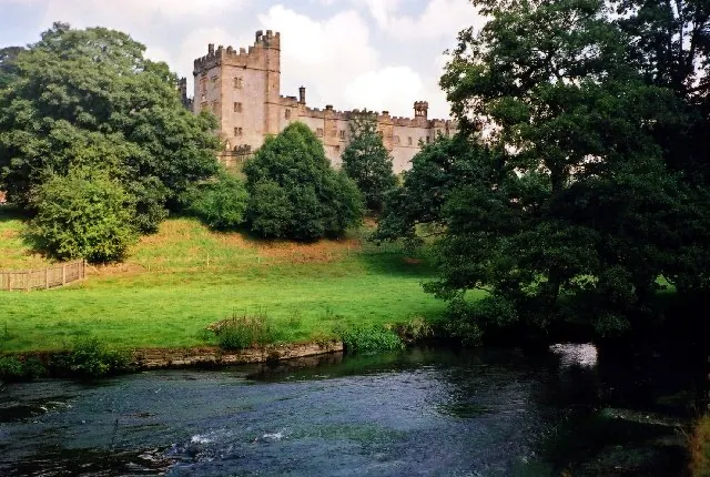
© Lynne Kirton · Geograph · CC BY-SA 2.0
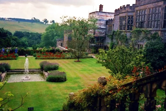
© Lynne Kirton · Geograph · CC BY-SA 2.0
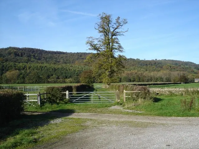
© Roger McLachlan · Geograph · CC BY-SA 2.0
Images © their respective photographers, licensed under CC BY-SA 2.0 and reused here with attribution. Photographs depict listed buildings, churches and monuments near this settlement and may show neighbouring villages.
Data derived from the Open Domesday project (opendomesday.org), based on the Domesday Book dataset compiled by Professor J.J.N. Palmer and team. The Domesday Book (1086) is in the public domain.
Found an inaccuracy? [email protected]