Stansfield in the Domesday Book (1086)
The settlement of Stansfield is recorded in William I’s Domesday survey of 1086, entered under the hundred of Morley in Yorkshire.
Other Settlements in Morley
- Allerton
- Armley
- Batley
- Beeston
- Bolton
- Bowling
- Bradford
- Bramley
- Calverley
- Carlton
- Chellow [Grange]
- Clayton
- Clifton
- Cruttonstall
The Meaning of the Name
The name Stansfield is of Anglo-Saxon origin. Its final element derives from the Old English word feld, open country, while the first element appears to represent stone (OE stān). Taken together the name probably meant something close to ’the stone open land’.
Remarkably, the name has changed little since 1086, when the Domesday scribes wrote it as Stansfield.
Listed Buildings Near Stansfield
Historic England records 98 listed buildings within about a mile of Stansfield. Listing protects structures of special architectural or historic interest, graded I (exceptional), II* (particularly important) and II.
Grade II*
- Stansfield Hall - 0.56 km
- Woodhouse Mill, engine house and detached chimney 20 metres to south - 0.56 km
- Bean Hole Head Farmhouse and Attached Barn - 0.64 km
Grade II
- 3 and 5, Castle Grove - 0.23 km
- Lower Laithe Cottage Lower Laithe House Lower Laithe West - 0.23 km
- Rochdale Canal Lock 17 Old Royd Lock and Retaining Walls of Overflow Channel - 0.3 km
- Carr House Farmhouse - 0.32 km
- Burnt House - 0.35 km
- Kilnhurst Bridge - 0.38 km
- Church of St Paul - 0.39 km
- Kirk Head - 0.39 km
- Sunday School - 0.4 km
- Castle - 0.44 km
- Oldroyd Farmhouse - 0.49 km
- Nursery Cottage, Stansfield Hall - 0.49 km
- Woodhouse Bridge and Retaining Walls to Either Side - 0.51 km
- Kilnhurst Farmhouse and Attached Kilnhurst House - 0.52 km
- Kilnhurst Cottage - 0.52 km
- Barn 15 Metres to South East of Oldroyd Farmhouse - 0.52 km
- Woodhouse - 0.53 km
- Woodhouse Mill Bridge - 0.53 km
- The Rose and Crown Public House - 0.55 km
- Milestone by Rose and Crown Public House at Ngr Sd 951245 - 0.56 km
- Gate Piers to Stansfield Hall and Return Walls - 0.64 km
…and 74 more listed structures in the area.
Scheduled Monuments Near Stansfield
Scheduled monuments are nationally important archaeological sites given legal protection. 1 lies within roughly a mile of Stansfield:
Stansfield Today
Today Stansfield lies within the administrative area of Todmorden.
Read more about modern Stansfield on Wikipedia .
Nearby Domesday Settlements
Other places recorded in the 1086 survey within a few miles:
Heritage Around Stansfield
Photographs of churches, listed buildings and monuments in the vicinity, contributed by volunteers to the Geograph project and reused here under a Creative Commons licence.
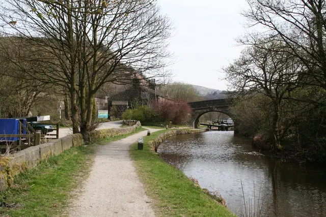
© Dr Neil Clifton · Geograph · CC BY-SA 2.0
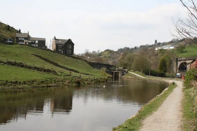
© Dr Neil Clifton · Geograph · CC BY-SA 2.0
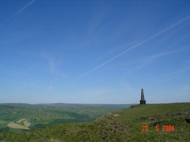
© Steve Partridge · Geograph · CC BY-SA 2.0
Images © their respective photographers, licensed under CC BY-SA 2.0 and reused here with attribution. Photographs depict listed buildings, churches and monuments near this settlement and may show neighbouring villages.
Data derived from the Open Domesday project (opendomesday.org), based on the Domesday Book dataset compiled by Professor J.J.N. Palmer and team. The Domesday Book (1086) is in the public domain.
Found an inaccuracy? [email protected]