Stanley in the Domesday Book (1086)
Stanley appears in the Domesday Book of 1086, entered under the hundred of Agbrigg in Yorkshire.
Other Settlements in Agbrigg
- Ackton
- Almondbury
- Austonley
- Bradley
- Cartworth
- Crigglestone
- Crofton
- Dalton
- Emley
- Farnley [Tyas]
- Flockton
- Fulstone
- Golcar
- Hepworth
The Meaning of the Name
The name Stanley is of Anglo-Saxon origin. Its final element derives from the Old English word lēah, a woodland clearing or glade, while the first element appears to represent stone (OE stān). Taken together the name probably meant something close to ’the stone clearing’.
Remarkably, the name has changed little since 1086, when the Domesday scribes wrote it as Stanley.
Listed Buildings Near Stanley
Historic England records 13 listed buildings within about a mile of Stanley. Listing protects structures of special architectural or historic interest, graded I (exceptional), II* (particularly important) and II.
Grade I
- Stanley Ferry Aqueduct - 1.12 km
Grade II*
- Clarke Hall - 0.53 km
Grade II
- Stanley Hall - 0.37 km
- Forecourt Walls to North of Clarke Hall, and Mounting Blocks - 0.54 km
- 23,25, Finkin Lane - 0.67 km
- Milepost Opposite no 34 - 0.78 km
- Milepost Outside no 220 - 0.82 km
- Stanley Royd Hospital Eastern Part of Main Range Comprising Early C19 Former Paupers’ Lunatic Asylum - 1.02 km
- Aqueduct Cottage Between River Calder and the Aire and Calder Navigation Basin - 1.08 km
- Former Ventilating Tower Approximately 3 Metres to South West of South West Wing of Former Paupers’ Lunatic Asylum, Stanley Royd Hospital - 1.09 km
- Hatfeild Hall - 1.1 km
- Theatre at Stanley Royd Hospital - 1.1 km
- Westfield House and Westfield Lodge - 1.29 km
Scheduled Monuments Near Stanley
Scheduled monuments are nationally important archaeological sites given legal protection. 1 lies within roughly a mile of Stanley:
- Stanley Ferry aqueduct - 1.12 km
Stanley Today
Today Stanley lies within the administrative area of Wakefield, and the settlement recorded a population of 15,314 at recent figures. Nine and a half centuries separate that figure from the small rural community the Domesday survey recorded here in 1086.
Read more about modern Stanley on Wikipedia .
Nearby Domesday Settlements
Other places recorded in the 1086 survey within a few miles:
Heritage Around Stanley
Photographs of churches, listed buildings and monuments in the vicinity, contributed by volunteers to the Geograph project and reused here under a Creative Commons licence.
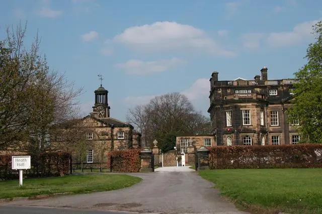
© Martyn Pattison · Geograph · CC BY-SA 2.0
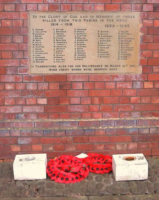
© Alan Longbottom · Geograph · CC BY-SA 2.0
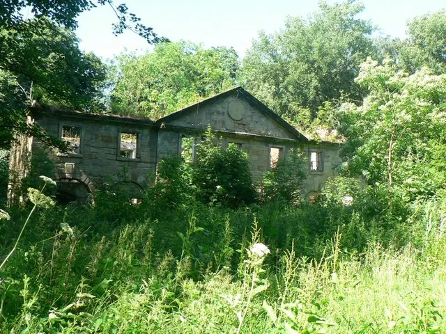
© Rich Tea · Geograph · CC BY-SA 2.0
Images © their respective photographers, licensed under CC BY-SA 2.0 and reused here with attribution. Photographs depict listed buildings, churches and monuments near this settlement and may show neighbouring villages.
Data derived from the Open Domesday project (opendomesday.org), based on the Domesday Book dataset compiled by Professor J.J.N. Palmer and team. The Domesday Book (1086) is in the public domain.
Found an inaccuracy? [email protected]