Staintondale in the Domesday Book (1086)
The settlement of Staintondale is recorded in William I’s Domesday survey of 1086, entered under the hundred of Dic in Yorkshire.
Other Settlements in Dic
- Aislaby
- Allerston
- Appleton [le Moors]
- Aschelesmersc
- Aschilesmares
- Barton [le Street]
- Baschebi
- Baschesbi
- Brompton
- Burniston
- Burton [Dale]
- Cawthorn
- Cayton
- Chigogemers
The Meaning of the Name
The name Staintondale is of Scandinavian origin. Its final element derives from the Old Norse word dalr, a valley, while the first element appears to represent stone (ON steinn). Taken together the name probably meant something close to ’the stone valley’.
Names of this type are a fingerprint of Scandinavian settlement: they cluster across the old Danelaw, where Norse-speaking settlers renamed or founded villages from the late 9th century onward.
Remarkably, the name has changed little since 1086, when the Domesday scribes wrote it as Staintondale.
Listed Buildings Near Staintondale
Historic England records 2 listed buildings within about a mile of Staintondale. Listing protects structures of special architectural or historic interest, graded I (exceptional), II* (particularly important) and II.
Grade II
- Bees Nest Farmhouse - 0.37 km
- Glenville - 0.58 km
Scheduled Monuments Near Staintondale
Scheduled monuments are nationally important archaeological sites given legal protection. 3 lie within roughly a mile of Staintondale:
- Round barrow 370m south east of Rudda Cottages - 1.39 km
- Round barrow known as Hunter Howe - 1.41 km
- Medieval dyke known as War Dike - 1.49 km
Staintondale Today
Today Staintondale lies within the administrative area of North Yorkshire, and the settlement recorded a population of 306 at the 2021 census. Nine and a half centuries separate that figure from the small rural community the Domesday survey recorded here in 1086.
Nearby Domesday Settlements
Other places recorded in the 1086 survey within a few miles:
- Thirley Cotes - 3.6 km SW
- Cloughton - 4.1 km S
- Burniston - 6.3 km S
- Fyling Old Hall - 6.4 km NW
- Northfield Farm - 8.1 km S
- Suffield - 8.1 km S
Heritage Around Stainton[dale]
Photographs of churches, listed buildings and monuments in the vicinity, contributed by volunteers to the Geograph project and reused here under a Creative Commons licence.
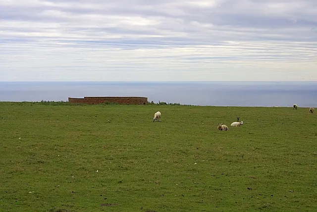
© Mick Garratt · Geograph · CC BY-SA 2.0
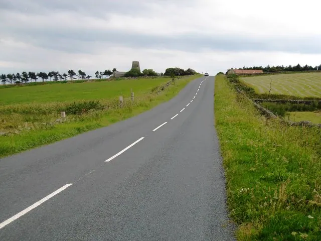
© Philip Barker · Geograph · CC BY-SA 2.0
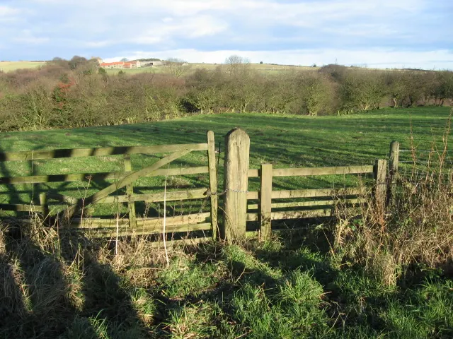
© Chris Wimbush · Geograph · CC BY-SA 2.0
Images © their respective photographers, licensed under CC BY-SA 2.0 and reused here with attribution. Photographs depict listed buildings, churches and monuments near this settlement and may show neighbouring villages.
Data derived from the Open Domesday project (opendomesday.org), based on the Domesday Book dataset compiled by Professor J.J.N. Palmer and team. The Domesday Book (1086) is in the public domain.
Found an inaccuracy? [email protected]