Stainton in the Domesday Book (1086)
The settlement of Stainton is recorded in William I’s Domesday survey of 1086, entered under the hundred of Langbaurgh in Yorkshire.
Other Settlements in Langbaurgh
- Acklam
- Airy [Holme]
- Aislaby
- Arnodestorp
- Baldebi
- Barnaby
- Barwick
- Battersby
- Bergolbi
- Berguluesbi
- Blaten [Carr]
- Borrowby
- Breck
- Brotton
The Meaning of the Name
The name Stainton is of Anglo-Saxon origin. Its final element derives from the Old English word tūn, a farmstead or village, while the first element appears to represent stone (ON steinn). Taken together the name probably meant something close to ’the stone farmstead’.
Remarkably, the name has changed little since 1086, when the Domesday scribes wrote it as Stainton.
Listed Buildings Near Stainton
Historic England records 3 listed buildings within about a mile of Stainton. Listing protects structures of special architectural or historic interest, graded I (exceptional), II* (particularly important) and II.
Grade II
- Ticksey How Boundary Stone 450 Metres South East of Lockwood Beck Farmhouse - 0.37 km
- Guidepost Attached to Oven Close Bridge - 0.59 km
- Red Hall Farmhouse and Farm Cottage - 1.21 km
Scheduled Monuments Near Stainton
Scheduled monuments are nationally important archaeological sites given legal protection. 5 lie within roughly a mile of Stainton:
- Round barrow at Stony Ruck, 520m south of Freebrough Farm - 1.41 km
- Round barrow 550m south of Lockwood Beck on Quaker’s Causeway, north of Black Howes - 1.45 km
- Round barrow 640m north west of Old Castle Hill, on Quaker’s Causeway, south east of Black Howes - 1.45 km
- Two round barrows on Moorsholm Moor known as Black Howes - 1.47 km
- Round barrow 550m south west of Lockwood Beck and 1.4km south west of Lockwood Beck reservoir - 1.57 km
Nearby Domesday Settlements
Other places recorded in the 1086 survey within a few miles:
- Moorsholm - 1.4 km NE
- Little Moorsholm - 3.2 km N
- Liverton - 4.5 km NE
- Kilton Thorpe - 4.5 km NE
- Rawcliff Banks - 5.0 km NW
- Skelton - 5.4 km N
Heritage Around Stainton
Photographs of churches, listed buildings and monuments in the vicinity, contributed by volunteers to the Geograph project and reused here under a Creative Commons licence.
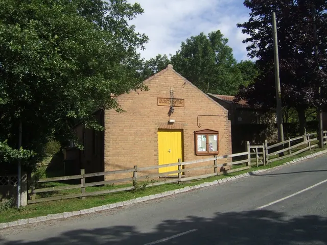
© John M · Geograph · CC BY-SA 2.0
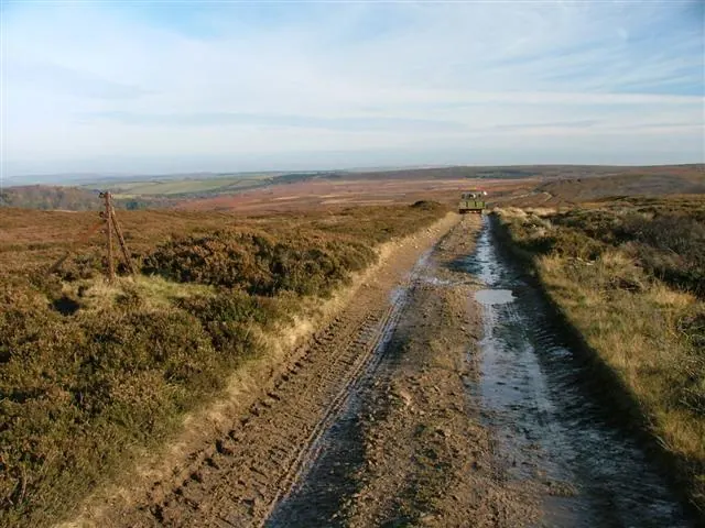
© Mick Garratt · Geograph · CC BY-SA 2.0
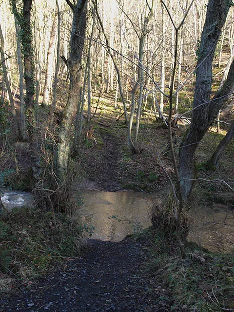
© Stephen McCulloch · Geograph · CC BY-SA 2.0
Images © their respective photographers, licensed under CC BY-SA 2.0 and reused here with attribution. Photographs depict listed buildings, churches and monuments near this settlement and may show neighbouring villages.
Data derived from the Open Domesday project (opendomesday.org), based on the Domesday Book dataset compiled by Professor J.J.N. Palmer and team. The Domesday Book (1086) is in the public domain.
Found an inaccuracy? [email protected]