Stainton in the Domesday Book (1086)
The settlement of Stainton is recorded in William I’s Domesday survey of 1086, entered under the hundred of Langbaurgh in Yorkshire.
Other Settlements in Langbaurgh
- Acklam
- Airy [Holme]
- Aislaby
- Arnodestorp
- Baldebi
- Barnaby
- Barwick
- Battersby
- Bergolbi
- Berguluesbi
- Blaten [Carr]
- Borrowby
- Breck
- Brotton
The Meaning of the Name
The name Stainton is of Anglo-Saxon origin. Its final element derives from the Old English word tūn, a farmstead or village, while the first element appears to represent stone (ON steinn). Taken together the name probably meant something close to ’the stone farmstead’.
Remarkably, the name has changed little since 1086, when the Domesday scribes wrote it as Stainton.
Listed Buildings Near Stainton
Historic England records 15 listed buildings within about a mile of Stainton. Listing protects structures of special architectural or historic interest, graded I (exceptional), II* (particularly important) and II.
Grade II*
- Church of St. Peter and St. Paul - 0.71 km
- Stainton Grange and Garden Walls - 0.86 km
Grade II
- Hemlington Hall Farmhouse, Farm Cottage and Garden Wall - 0.16 km
- Stable and Cart Shed, Circa 20 Metres East of Hemlington Hall Farmhouse - 0.18 km
- Memorial Hall - 0.64 km
- The Stainton Public House - 0.67 km
- Church View - 0.68 km
- Burdon Table Tomb, 4M East of Chancel of Church of St. Peter and St. Paul - 0.69 km
- Coffin, One M.south of Chancel of Church of St. Peter and St. Paul - 0.7 km
- Rennison Tombstone, 3M South of Chancel of Church of St. Peter and St. Paul - 0.7 km
- Stainton House - 0.71 km
- Boundary Wall, Gates and Gatepiers of Church of St. Peter and St. Paul - 0.72 km
- Corney (Or Corner) Tombstone, 7M. West of Church of St. Peter and St. Paul - 0.74 km
- Walls, Gates and Gatepiers to Garden of no 15 - 0.85 km
- Low Farmhouse 2 Farm Cottages and Adjoining Outbuildings - 1.03 km
Stainton Today
Today Stainton lies within the administrative area of Stainton and Thornton, and the settlement recorded a population of 2,890 at recent figures. Nine and a half centuries separate that figure from the small rural community the Domesday survey recorded here in 1086.
Read more about modern Stainton on Wikipedia .
Nearby Domesday Settlements
Other places recorded in the 1086 survey within a few miles:
- Thornton - 1.4 km SW
- Hemlington - 2.0 km E
- Maltby - 2.2 km SW
- Coulby - 2.2 km SE
- Stainsby Hall - 2.2 km NW
- Acklam - 3.0 km N
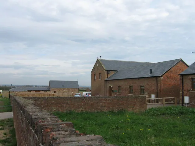
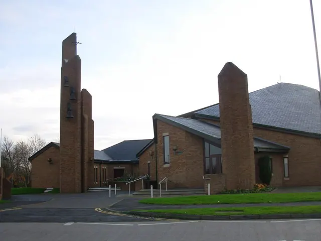
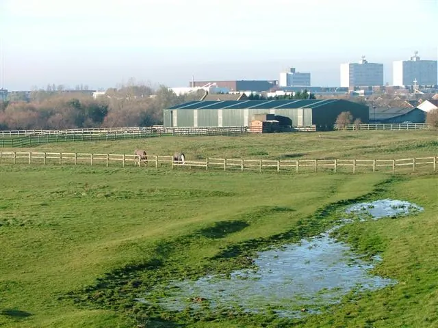
Heritage Around Stainton
Photographs of churches, listed buildings and monuments in the vicinity, contributed by volunteers to the Geograph project and reused here under a Creative Commons licence.
© Alex McGregor · Geograph · CC BY-SA 2.0
© Gordon Elliott · Geograph · CC BY-SA 2.0
© Mick Garratt · Geograph · CC BY-SA 2.0
Images © their respective photographers, licensed under CC BY-SA 2.0 and reused here with attribution. Photographs depict listed buildings, churches and monuments near this settlement and may show neighbouring villages.
Data derived from the Open Domesday project (opendomesday.org), based on the Domesday Book dataset compiled by Professor J.J.N. Palmer and team. The Domesday Book (1086) is in the public domain.
Found an inaccuracy? [email protected]