Stainton in the Domesday Book (1086)
The settlement of Stainton is recorded in William I’s Domesday survey of 1086, entered under the hundred of Amounderness in Yorkshire.
Other Settlements in Amounderness
- Aighton
- Aldcliffe
- Aldingham
- Arkholme
- Aschebi
- Ashton [Hall]
- Ashton [on Ribble]
- Austwick
- Barbon
- Bardsea
- Bare
- Barnoldswick
- Barton
- Beetham
The Meaning of the Name
The name Stainton is of Anglo-Saxon origin. Its final element derives from the Old English word tūn, a farmstead or village, while the first element appears to represent stone (ON steinn). Taken together the name probably meant something close to ’the stone farmstead’.
Remarkably, the name has changed little since 1086, when the Domesday scribes wrote it as Stainton.
Listed Buildings Near Stainton
Historic England records 13 listed buildings within about a mile of Stainton. Listing protects structures of special architectural or historic interest, graded I (exceptional), II* (particularly important) and II.
Grade II
- Tethering Post on Towpath to Kendal Lancaster Canal Approximately 100 Yards East of Stainton Aqueduct - 0.26 km
- Stainton Bridge End, Bridge Over Lancaster to Kendal Canal, Ngr 5242 8526 - 0.28 km
- Stainton Aqueduct Carrying Kendal/ Lancaster Canal Over Stainton Beck and Public Footpath Ngr 5226 8542 - 0.32 km
- Stainton Bridge Over Stainton Beck Immediately South West of Stainton Bridge End Farm Ngr 5228 8523 - 0.4 km
- Pack Horse Bridge Over Stainton Beck - 0.47 km
- United Reformed Church - 0.49 km
- Field End Bridge Over Kendal Lancaster Canal Ngr 5259 8499 - 0.5 km
- Stainton Crossing Bridge Over Kendal/lancaster Canal Ngr 5205 8543 - 0.56 km
- Sellet Hall - 0.69 km
- Barn to South West of Sellet Hall - 0.74 km
- Sellet Hall Bridge Over Lancaster/kendal Canal - 0.79 km
- Milestone Approximately 400 Yards North of Mattinsons Bridge on the Kendal/lancaster Canal Ngr 524/843 - 1.2 km
- Well Heads Farmhouse - 1.26 km
Scheduled Monuments Near Stainton
Scheduled monuments are nationally important archaeological sites given legal protection. 2 lie within roughly a mile of Stainton:
- Packhorse bridge at the Post Office - 0.48 km
- Hincaster Tunnel horse path - 1.54 km
Stainton Today
Today Stainton lies within the administrative area of Westmorland and Furness, and the settlement recorded a population of 316 at the 2021 census. Nine and a half centuries separate that figure from the small rural community the Domesday survey recorded here in 1086.
Read more about modern Stainton on Wikipedia .
Nearby Domesday Settlements
Other places recorded in the 1086 survey within a few miles:
- Preston Richard - 1.4 km SE
- Hincaster - 2.2 km SW
- Preston Patrick - 2.8 km SE
- Heversham Head - 2.8 km SW
- Levens - 4.1 km W
- Bothelford - 4.1 km N
Heritage Around Stainton
Photographs of churches, listed buildings and monuments in the vicinity, contributed by volunteers to the Geograph project and reused here under a Creative Commons licence.
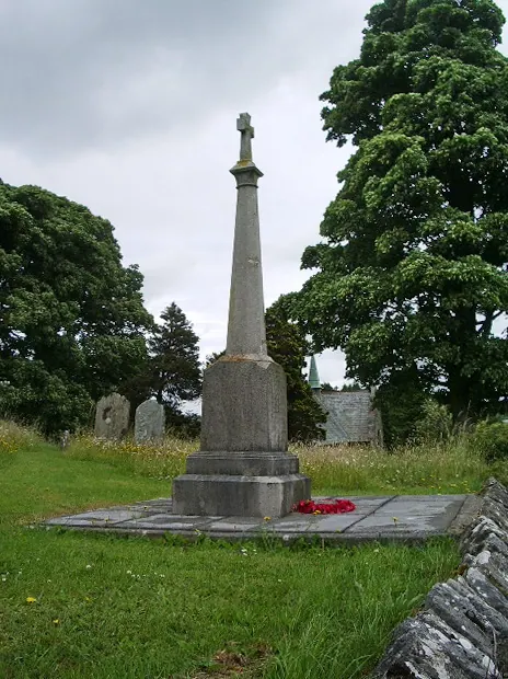
© Alexander P Kapp · Geograph · CC BY-SA 2.0
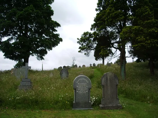
© Alexander P Kapp · Geograph · CC BY-SA 2.0
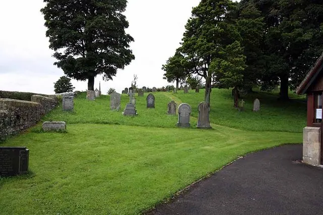
© John Salmon · Geograph · CC BY-SA 2.0
Images © their respective photographers, licensed under CC BY-SA 2.0 and reused here with attribution. Photographs depict listed buildings, churches and monuments near this settlement and may show neighbouring villages.
Data derived from the Open Domesday project (opendomesday.org), based on the Domesday Book dataset compiled by Professor J.J.N. Palmer and team. The Domesday Book (1086) is in the public domain.
Found an inaccuracy? [email protected]