Stainland in the Domesday Book (1086)
Stainland is named in the Domesday Book, compiled by Norman commissioners in 1086, entered under the hundred of Morley in Yorkshire.
Other Settlements in Morley
- Allerton
- Armley
- Batley
- Beeston
- Bolton
- Bowling
- Bradford
- Bramley
- Calverley
- Carlton
- Chellow [Grange]
- Clayton
- Clifton
- Cruttonstall
The Meaning of the Name
The origin of the name Stainland is not securely established from its modern form alone; like many settlement names in the North it likely combines an Old English or Old Norse personal name with a landscape term.
Remarkably, the name has changed little since 1086, when the Domesday scribes wrote it as Stainland.
Listed Buildings Near Stainland
Historic England records 50 listed buildings within about a mile of Stainland. Listing protects structures of special architectural or historic interest, graded I (exceptional), II* (particularly important) and II.
Grade II
- Shepherds Cottage - 0.13 km
- Well Royd - 0.13 km
- Barn to Dene Royd - 0.13 km
- Kilncroft - 0.17 km
- Former Bull and Dog Public House - 0.2 km
- Ellistones Farm Barn - 0.22 km
- Ellistones Farmhouse - 0.24 km
- Burial Ground Boundary and Retaining Wall With Gates and Steps Providence United Reformed Church - 0.28 km
- Providence United Reformed Church - 0.3 km
- Stainland Stocks - 0.34 km
- Well Head Well Head Cottage - 0.37 km
- 5 and 6, Stainland Road - 0.38 km
- Holroyd Square - 0.39 km
- 1-9 Town Ing Mills - 0.4 km
- 360, 362 and 364 (The Manor House) Stainland Road - 0.44 km
- Barn on West Side of the Stannary - 0.49 km
- Higher New Yard - 0.49 km
- Warehouse at the Stannary - 0.51 km
- Rob Royd and Attached Barn - 0.55 km
- Stainland Cross - 0.56 km
- Cross Farm House and Attached Barn - 0.57 km
- Graveyard Wall and Railings at Church of St Andrew - 0.58 km
- Church of St Andrew - 0.58 km
- Barn to North East of Beestonley Farmhouse - 0.71 km
…and 26 more listed structures in the area.
Stainland Today
Today Stainland lies within the administrative area of Stainland and District, and the settlement recorded a population of 3,178 at recent figures. Nine and a half centuries separate that figure from the small rural community the Domesday survey recorded here in 1086.
Read more about modern Stainland on Wikipedia .
Nearby Domesday Settlements
Other places recorded in the 1086 survey within a few miles:
Heritage Around Stainland
Photographs of churches, listed buildings and monuments in the vicinity, contributed by volunteers to the Geograph project and reused here under a Creative Commons licence.
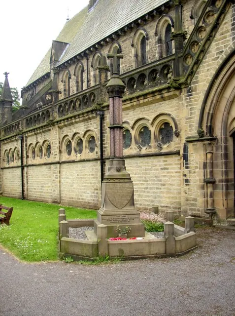
© Humphrey Bolton · Geograph · CC BY-SA 2.0
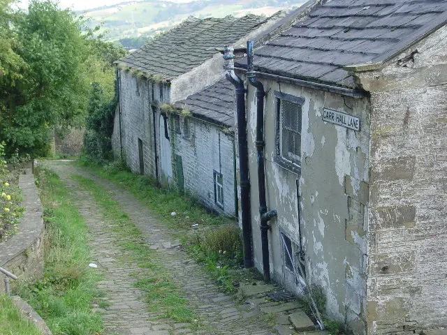
© Malcolm Street · Geograph · CC BY-SA 2.0
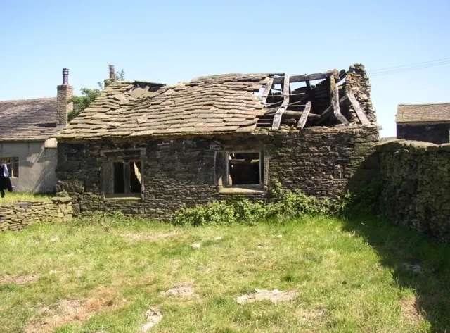
© Humphrey Bolton · Geograph · CC BY-SA 2.0
Images © their respective photographers, licensed under CC BY-SA 2.0 and reused here with attribution. Photographs depict listed buildings, churches and monuments near this settlement and may show neighbouring villages.
Data derived from the Open Domesday project (opendomesday.org), based on the Domesday Book dataset compiled by Professor J.J.N. Palmer and team. The Domesday Book (1086) is in the public domain.
Found an inaccuracy? [email protected]