Staining in the Domesday Book (1086)
Staining is named in the Domesday Book, compiled by Norman commissioners in 1086, entered under the hundred of Amounderness in Yorkshire.
Other Settlements in Amounderness
- Aighton
- Aldcliffe
- Aldingham
- Arkholme
- Aschebi
- Ashton [Hall]
- Ashton [on Ribble]
- Austwick
- Barbon
- Bardsea
- Bare
- Barnoldswick
- Barton
- Beetham
The Meaning of the Name
The origin of the name Staining is not securely established from its modern form alone; like many settlement names in the North it likely combines an Old English or Old Norse personal name with a landscape term.
Remarkably, the name has changed little since 1086, when the Domesday scribes wrote it as Staining.
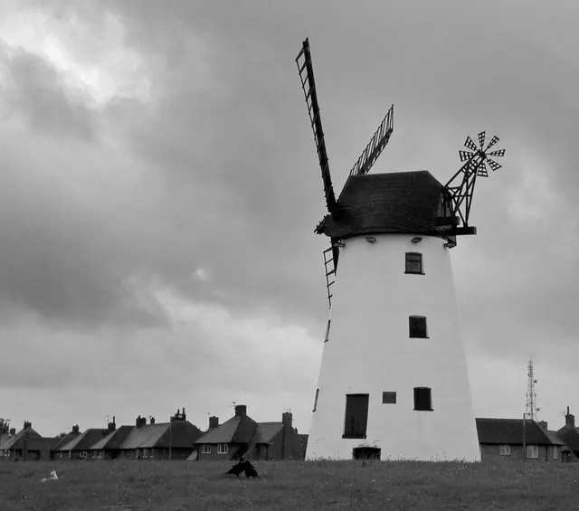
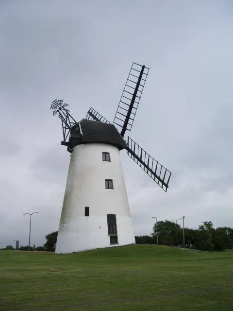
Listed Buildings Near Staining
Historic England records 4 listed buildings within about a mile of Staining. Listing protects structures of special architectural or historic interest, graded I (exceptional), II* (particularly important) and II.
Grade II
- Staining Windmill - 0.19 km
- Stanley Cottage - 0.31 km
- Fox’s Farmhouse - 1.18 km
- The Old Cottage - 1.23 km
Staining Today
Today Staining lies within the administrative area of Fylde, and the settlement recorded a population of 2,557 at the 2021 census. Nine and a half centuries separate that figure from the small rural community the Domesday survey recorded here in 1086.
Read more about modern Staining on Wikipedia .
Nearby Domesday Settlements
Other places recorded in the 1086 survey within a few miles:
- Great and Little Marton - 2.0 km S
- Layton and Little Layton - 2.2 km NW
- Carleton and Little Carleton - 2.2 km NW
- Mythop - 2.8 km SE
- Preese Hall - 3.0 km E
- Singleton and Little Singleton - 4.2 km NE
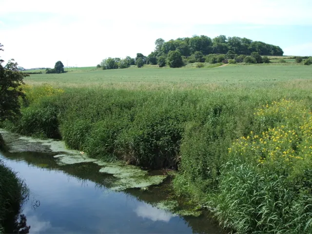
Heritage Around Staining
Photographs of churches, listed buildings and monuments in the vicinity, contributed by volunteers to the Geograph project and reused here under a Creative Commons licence.
© Stephen Moore · Geograph · CC BY-SA 2.0
© Steve Fareham · Geograph · CC BY-SA 2.0
© Alexander P Kapp · Geograph · CC BY-SA 2.0
Images © their respective photographers, licensed under CC BY-SA 2.0 and reused here with attribution. Photographs depict listed buildings, churches and monuments near this settlement and may show neighbouring villages.
Data derived from the Open Domesday project (opendomesday.org), based on the Domesday Book dataset compiled by Professor J.J.N. Palmer and team. The Domesday Book (1086) is in the public domain.
Found an inaccuracy? [email protected]