Stainforth in the Domesday Book (1086)
Stainforth appears in the Domesday Book of 1086, entered under the hundred of Craven in Yorkshire.
Other Settlements in Craven
- Addingham
- Airton
- Anley
- Appletreewick
- Arncliffe
- Arnford
- Barnoldswick
- Bashall [Eaves]
- Battersby [Barn]
- Beamsley
- Birkby [Hall]
- Bogeuurde
- Bolton [Abbey]
- Bolton [by Bowland]
The Meaning of the Name
The name Stainforth is of Anglo-Saxon origin. Its final element derives from the Old English word ford, a river crossing, while the first element appears to represent stone (ON steinn). Taken together the name probably meant something close to ’the stone ford’.
Remarkably, the name has changed little since 1086, when the Domesday scribes wrote it as Stainforth.
Listed Buildings Near Stainforth
Historic England records 19 listed buildings within about a mile of Stainforth. Listing protects structures of special architectural or historic interest, graded I (exceptional), II* (particularly important) and II.
Grade II
- Kern Knotts Cottage - 0.31 km
- Town Head House - 0.39 km
- Brookhouse Farmhouse - 0.39 km
- Brookside - 0.4 km
- Riston House Former Stables - 0.41 km
- Burnside Farmhouse - 0.43 km
- Vicarage - 0.45 km
- Stock Hill House and Barn - 0.46 km
- Stainforth Bridge - 0.47 km
- Ribblesdale House - 0.49 km
- Stainforth House - 0.49 km
- Church of St Peter - 0.54 km
- Taitlands, Garden Wall and Gatepiers - 0.81 km
- Knight Stainforth Bridge - 0.84 km
- Boundary Stone, 250 Metres South of Cattrigg Force - 0.9 km
- Lower Winskill - 1.01 km
- Knights Stainforth Hall and Knights Cottage - 1.15 km
- Knights Stainforth Farmhouse - 1.17 km
- Dinsdales Cottage - 1.27 km
Scheduled Monuments Near Stainforth
Scheduled monuments are nationally important archaeological sites given legal protection. 2 lie within roughly a mile of Stainforth:
- Cairn on Stainforth Scar, 180m east of Hawes Close Barn - 0.59 km
- Craven and Murgatroyd lime works 400m north east of Langcliffe Mill - 1.18 km
Stainforth Today
Today Stainforth lies within the administrative area of North Yorkshire, and the settlement recorded a population of 212 at the 2021 census. Nine and a half centuries separate that figure from the small rural community the Domesday survey recorded here in 1086.
Read more about modern Stainforth on Wikipedia .
Nearby Domesday Settlements
Other places recorded in the 1086 survey within a few miles:
- Stackhouse - 2.2 km SW
- Langcliffe - 3.0 km S
- Giggleswick - 3.2 km S
- Settle - 4.1 km S
- Horton in Ribblesdale - 5.1 km N
- Austwick - 6.1 km W
Heritage Around Stainforth
Photographs of churches, listed buildings and monuments in the vicinity, contributed by volunteers to the Geograph project and reused here under a Creative Commons licence.
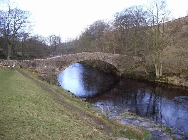
© Kevin Rushton · Geograph · CC BY-SA 2.0
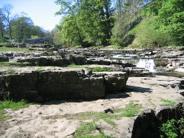
© John S Turner · Geograph · CC BY-SA 2.0
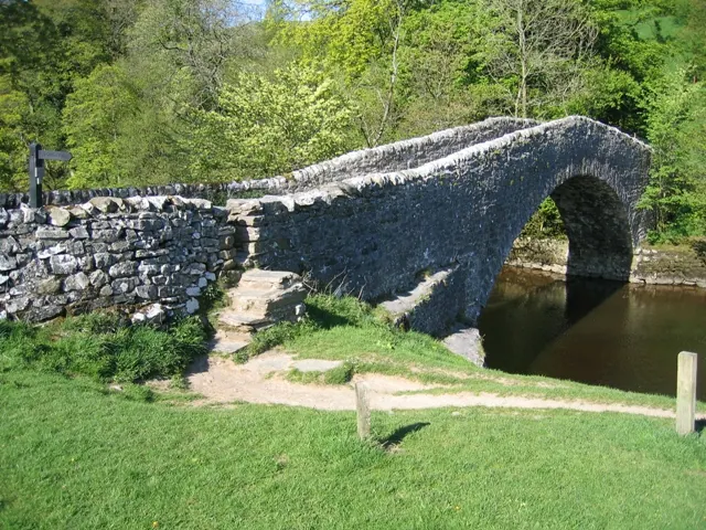
© John S Turner · Geograph · CC BY-SA 2.0
Images © their respective photographers, licensed under CC BY-SA 2.0 and reused here with attribution. Photographs depict listed buildings, churches and monuments near this settlement and may show neighbouring villages.
Data derived from the Open Domesday project (opendomesday.org), based on the Domesday Book dataset compiled by Professor J.J.N. Palmer and team. The Domesday Book (1086) is in the public domain.
Found an inaccuracy? [email protected]