Stainborough Castle in the Domesday Book (1086)
The 1086 Domesday survey records the settlement of Stainborough Castle, entered under the hundred of Staincross in Yorkshire.
Other Settlements in Staincross
- Adlingfleet
- Barnby [Hall]
- Barnsley
- Barugh
- Brierley
- Carlton
- Cawthorne
- Chevet
- Clactone
- Clayton [West]
- Darton
- Dodworth
- Hemsworth
- Hoyland [Swaine]
The Meaning of the Name
The name Stainborough Castle is of Anglo-Saxon origin. Its final element derives from the Old English word burh, a fortified place, while the first element appears to represent stone (ON steinn). Taken together the name probably meant something close to ’the stone stronghold’.
Remarkably, the name has changed little since 1086, when the Domesday scribes wrote it as Stainborough Castle.
Listed Buildings Near Stainborough Castle
Historic England records 31 listed buildings within about a mile of Stainborough Castle. Listing protects structures of special architectural or historic interest, graded I (exceptional), II* (particularly important) and II.
Grade I
- Wentworth Castle - 0.49 km
Grade II*
- Pillared Barn Approximately 20 Metres to South of Steeple Lodge - 0.26 km
- Stainborough Castle - 0.42 km
- Gun Room - 0.42 km
- Conservatory and Linking Bridge at North West Corner of Wentworth Castle - 0.46 km
- Statue of the First Earl of Strafford Situated at North End of East Front of Wentworth Castle - 0.46 km
- Obelisk to Lady Mary Wortley Montagu (Sun Monument) - 0.49 km
Grade II
- Steeple Lodge - 0.26 km
- Former Orangery on North East Side of Walled Garden to North of Home Farm - 0.4 km
- Former Cowhouses and Calf Houses at Home Farm - 0.42 km
- Dairy House at Home Farm - 0.43 km
- Former Stable Block at Home Farm and Attached Archway - 0.44 km
- Cart Shed at Home Farm - 0.44 km
- Cottage to East of Cart Shed at Home Farm - 0.45 km
- Church of St James - 0.45 km
- Barn at Home Farm and attached wall on east - 0.46 km
- Gates and Gatepiers With Adjoining Wall Enclosing Churchyard on South Side of Church of St James - 0.47 km
- Two Pairs of Gates Including Gate Piers and Figures Adjoining the East Front of Wentworth Castle With Iron Railings Enclosing the Garden Between and Balustrades of Terraces to South - 0.54 km
- Corinthian Temple - 0.55 km
- Battlemented Wall Including Triple Archway Along South Side of the Wilderness - 0.57 km
- Serpentine Bridge - 0.79 km
- The Strafford Arms - 0.98 km
- Entrance Gateway and Gates to Stainborough Park - 0.98 km
- Menagerie House, 1-3 Park Drive, Wentworth Castle, Stainborough - 0.99 km
…and 7 more listed structures in the area.
Stainborough Castle Today
Today Stainborough Castle lies within the administrative area of Barnsley, and the settlement recorded a population of 351 at the 2021 census. Nine and a half centuries separate that figure from the small rural community the Domesday survey recorded here in 1086.
Read more about modern Stainborough on Wikipedia .
Nearby Domesday Settlements
Other places recorded in the 1086 survey within a few miles:
- Dodworth - 2.0 km N
- Keresforth Hall - 2.2 km NE
- Silkstone - 2.8 km NW
- Thurgoland - 3.6 km SW
- Pilley - 3.6 km SE
- Worsborough - 4.0 km E
Heritage Around Stainborough [Castle]
Photographs of churches, listed buildings and monuments in the vicinity, contributed by volunteers to the Geograph project and reused here under a Creative Commons licence.
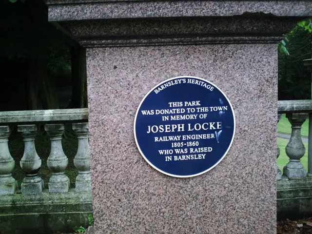
© Peter Beard · Geograph · CC BY-SA 2.0
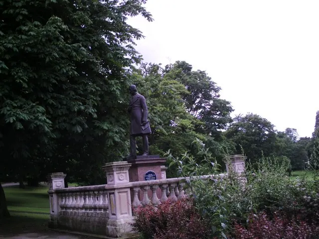
© Peter Beard · Geograph · CC BY-SA 2.0
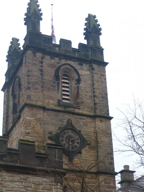
© Dave Pickersgill · Geograph · CC BY-SA 2.0
Images © their respective photographers, licensed under CC BY-SA 2.0 and reused here with attribution. Photographs depict listed buildings, churches and monuments near this settlement and may show neighbouring villages.
Data derived from the Open Domesday project (opendomesday.org), based on the Domesday Book dataset compiled by Professor J.J.N. Palmer and team. The Domesday Book (1086) is in the public domain.
Found an inaccuracy? [email protected]