Stackhouse in the Domesday Book (1086)
Stackhouse is named in the Domesday Book, compiled by Norman commissioners in 1086, entered under the hundred of Craven in Yorkshire.
Other Settlements in Craven
- Addingham
- Airton
- Anley
- Appletreewick
- Arncliffe
- Arnford
- Barnoldswick
- Bashall [Eaves]
- Battersby [Barn]
- Beamsley
- Birkby [Hall]
- Bogeuurde
- Bolton [Abbey]
- Bolton [by Bowland]
The Meaning of the Name
The origin of the name Stackhouse is not securely established from its modern form alone; like many settlement names in the North it likely combines an Old English or Old Norse personal name with a landscape term.
Remarkably, the name has changed little since 1086, when the Domesday scribes wrote it as Stackhouse.
Listed Buildings Near Stackhouse
Historic England records 22 listed buildings within about a mile of Stackhouse. Listing protects structures of special architectural or historic interest, graded I (exceptional), II* (particularly important) and II.
Grade II
- Abbeylands - 0.21 km
- The Old Hall - 0.21 km
- Coach House at Carrholme Cottage - 0.21 km
- Barn Adjoining Carrholme Cottage - 0.22 km
- Browns Croft - 0.22 km
- Carrholme Cottage - 0.23 km
- Stackhouse - 0.24 km
- Carrholme - 0.25 km
- Langcliffe Place - 0.4 km
- Langcliffe High Mill - 0.43 km
- Mount Pleasant House - 0.59 km
- Mount Pleasant Farmhouse - 0.7 km
- Manor Farm House and Manor Farm Cottage - 0.7 km
- Old Vicarage - 0.72 km
- Fountain Basin - 0.74 km
- Cock House and Grisedale - 0.76 km
- Langcliffe Hall, Stables and Gatepiers - 0.76 km
- K6 Telephone Kiosk, Langcliffe - 0.76 km
- Church of St John the Evangelist - 0.84 km
- Langcliffe Lodge, Garden Wall, Railings and Gatepier - 0.97 km
- Boundary Stone - 1.13 km
- Barrel Sykes - 1.26 km
Scheduled Monuments Near Stackhouse
Scheduled monuments are nationally important archaeological sites given legal protection. 4 lie within roughly a mile of Stackhouse:
- Craven and Murgatroyd lime works 400m north east of Langcliffe Mill - 1.2 km
- Kinsey Cave, Giggleswick Scar - 1.23 km
- Ring cairn north west of Reinsber Scar - 1.47 km
- Giggleswick market cross - 1.48 km
Stackhouse Today
Today Stackhouse lies within the administrative area of Giggleswick.
Read more about modern Stackhouse on Wikipedia .
Nearby Domesday Settlements
Other places recorded in the 1086 survey within a few miles:
- Giggleswick - 1.0 km S
- Langcliffe - 1.4 km SE
- Settle - 2.0 km S
- Stainforth - 2.2 km NE
- Anley - 4.0 km S
- Austwick - 5.8 km NW
Heritage Around Stackhouse
Photographs of churches, listed buildings and monuments in the vicinity, contributed by volunteers to the Geograph project and reused here under a Creative Commons licence.
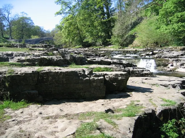
© John S Turner · Geograph · CC BY-SA 2.0
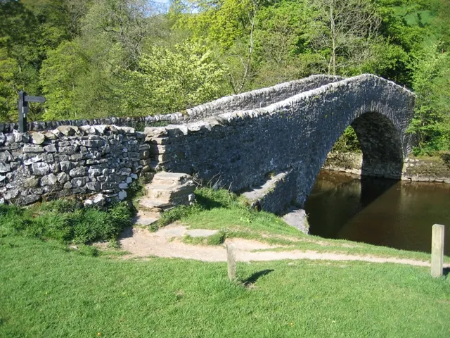
© John S Turner · Geograph · CC BY-SA 2.0
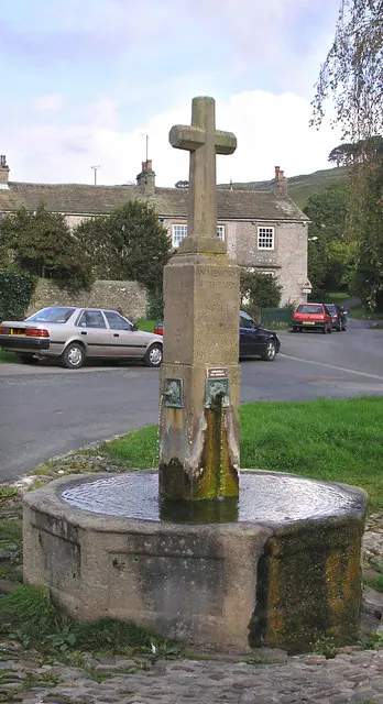
© John Illingworth · Geograph · CC BY-SA 2.0
Images © their respective photographers, licensed under CC BY-SA 2.0 and reused here with attribution. Photographs depict listed buildings, churches and monuments near this settlement and may show neighbouring villages.
Data derived from the Open Domesday project (opendomesday.org), based on the Domesday Book dataset compiled by Professor J.J.N. Palmer and team. The Domesday Book (1086) is in the public domain.
Found an inaccuracy? [email protected]