Sproxton in the Domesday Book (1086)
The 1086 Domesday survey records the settlement of Sproxton, entered under the hundred of Maneshou in Yorkshire. The survey assessed Sproxton at 9.5 carucates of taxable land.
At the time of the survey, Sproxton supported a recorded population of 22 villagers, 50 smallholders, 12 slaves, working 19 ploughs between them.
By 1086 Sproxton was worth 29.5 shillings, up from 17.5 shillings before the Conquest – which sets it apart from the many nearby villages left waste or devalued.
The survey lists 4 manors at Sproxton under different lords. Splitting a single settlement between multiple tenants was common across the North – Saxon estates broken up and handed to William’s followers after 1066.
Resources Recorded at Sproxton (1086)
- Mills: 2 mills
- Cattle: 46
- Pigs: 202
- Sheep: 250
- Horses (cobs): 8
- Meadow: 52 acres
- Woodland: 150 pigs
Other Settlements in Maneshou
- Amotherby
- Ampleforth
- Appleton [le Street]
- Beadlam
- Brawby
- Broughton
- Cawton
- Coulton
- Fadmoor
- Fryton
- Gillamoor
- Gilling [East]
- Griff [Farm]
- Grimston
The Meaning of the Name
The name Sproxton is of Anglo-Saxon origin. Its final element derives from the Old English word tūn, a farmstead or village. The first element is most likely a personal name or an early descriptive term, now difficult to recover with certainty. Taken together the name probably meant something close to ‘a farmstead’.
Remarkably, the name has changed little since 1086, when the Domesday scribes wrote it as Sproxton.
Listed Buildings Near Sproxton
Historic England records 10 listed buildings within about a mile of Sproxton. Listing protects structures of special architectural or historic interest, graded I (exceptional), II* (particularly important) and II.
Grade II
- Forge Cottage - 0.15 km
- Church of St Chad, Gate and Gateposts - 0.25 km
- Aspin Farmhouse - 0.25 km
- Sproxton Hall - 0.35 km
- Nelson Gate - 0.39 km
- Nelson Gate Lodge - 0.4 km
- Milestone Approximately Quarter of A Mile North of Village N of Village - 0.63 km
- Low Parks Farmhouse and Barn - 1.06 km
- Milestone Approximately Half A Mile West of Village - 1.22 km
- Golden Square Farmhouse - 1.28 km
Sproxton Today
Today Sproxton lies within the administrative area of Ryedale, and the settlement recorded a population of 111 at the 2021 census. Nine and a half centuries separate that figure from the small rural community the Domesday survey recorded here in 1086.
Read more about modern Sproxton on Wikipedia .
Nearby Domesday Settlements
Other places recorded in the 1086 survey within a few miles:
- Helmsley - 2.0 km N
- Harome - 3.2 km E
- Oswaldkirk - 3.2 km S
- East Newton - 3.6 km SE
- West Newton Grange - 3.6 km SE
- Griff Farm - 3.6 km NW
Heritage Around Sproxton
Photographs of churches, listed buildings and monuments in the vicinity, contributed by volunteers to the Geograph project and reused here under a Creative Commons licence.
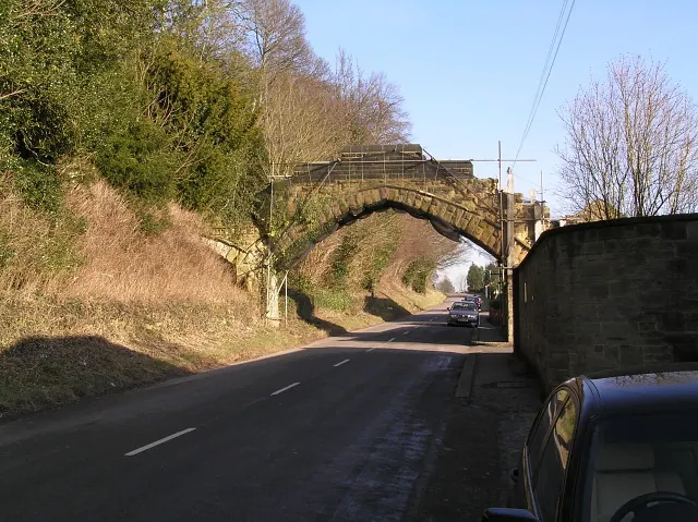
© Colin Grice · Geograph · CC BY-SA 2.0
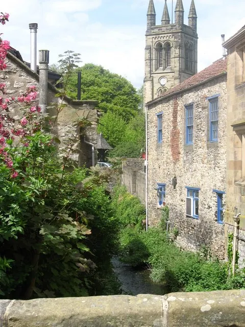
© Tony Murgatroyd · Geograph · CC BY-SA 2.0
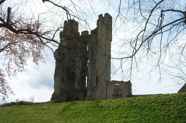
© derek dye · Geograph · CC BY-SA 2.0
Images © their respective photographers, licensed under CC BY-SA 2.0 and reused here with attribution. Photographs depict listed buildings, churches and monuments near this settlement and may show neighbouring villages.
Data derived from the Open Domesday project (opendomesday.org), based on the Domesday Book dataset compiled by Professor J.J.N. Palmer and team. The Domesday Book (1086) is in the public domain.
Found an inaccuracy? [email protected]