Sprotbrough in the Domesday Book (1086)
The 1086 Domesday survey records the settlement of Sprotbrough, entered under the hundred of Strafforth in Yorkshire.
Other Settlements in Strafforth
- Adwick [le Street]
- Adwick [upon Dearne]
- Armthorpe
- Aston
- Attercliffe
- Auckley
- Aughton [Hall]
- Austerfield
- Balby
- Barnbrough
- Barnby [Dun]
- Bentley
- Bilham [House]
- Billingley
The Meaning of the Name
The name Sprotbrough is of Anglo-Saxon origin. Its final element derives from the Old English word burh, a fortified place. The first element is most likely a personal name or an early descriptive term, now difficult to recover with certainty. Taken together the name probably meant something close to ‘a stronghold’.
Remarkably, the name has changed little since 1086, when the Domesday scribes wrote it as Sprotbrough.
Listed Buildings Near Sprotbrough
Historic England records 12 listed buildings within about a mile of Sprotbrough. Listing protects structures of special architectural or historic interest, graded I (exceptional), II* (particularly important) and II.
Grade I
- Church of St Mary - 0.56 km
Grade II
- Resited Cross Base to West of Junction With Spring Lane - 0.25 km
- Mounting Steps Approximately 30 Metres to West of Church of St Mary - 0.54 km
- K6 at Junction With Boat Lane - 0.54 km
- Gates to Home Cottage - 0.54 km
- The Old Rectory - 0.55 km
- Village Pump Immediately to East of Number 41 - 0.61 km
- Sprotbrough Park Stables - 0.63 km
- Remains of Sprotbrough Pump Situated to North of Sprotbrough Lock* - 0.84 km
- The Toll House - 0.92 km
- Bridge Across River Don - 1.04 km
- Boat Inn - 1.07 km
Scheduled Monuments Near Sprotbrough
Scheduled monuments are nationally important archaeological sites given legal protection. 2 lie within roughly a mile of Sprotbrough:
- King Hengist Rein long cairn - 0.96 km
- Cusworth Motte Castle - 1.05 km
Sprotbrough Today
Today Sprotbrough lies within the administrative area of Sprotbrough and Cusworth, and the settlement recorded a population of 7,548 at recent figures. Nine and a half centuries separate that figure from the small rural community the Domesday survey recorded here in 1086.
Read more about modern Sprotbrough on Wikipedia .
Nearby Domesday Settlements
Other places recorded in the 1086 survey within a few miles:
- Scinestorp - 1.4 km NE
- Wildthorpe - 2.2 km SW
- Cusworth - 2.2 km NE
- Scawsby - 2.2 km NE
- Warmsworth - 2.2 km SE
- Cadeby - 2.8 km SW
Heritage Around Sprotbrough
Photographs of churches, listed buildings and monuments in the vicinity, contributed by volunteers to the Geograph project and reused here under a Creative Commons licence.
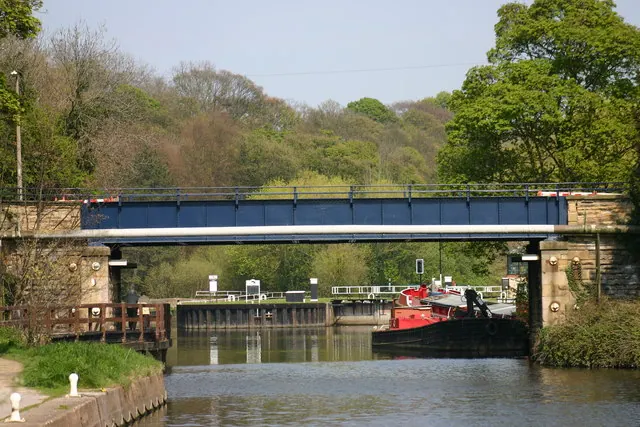
© Jeff Pearson · Geograph · CC BY-SA 2.0
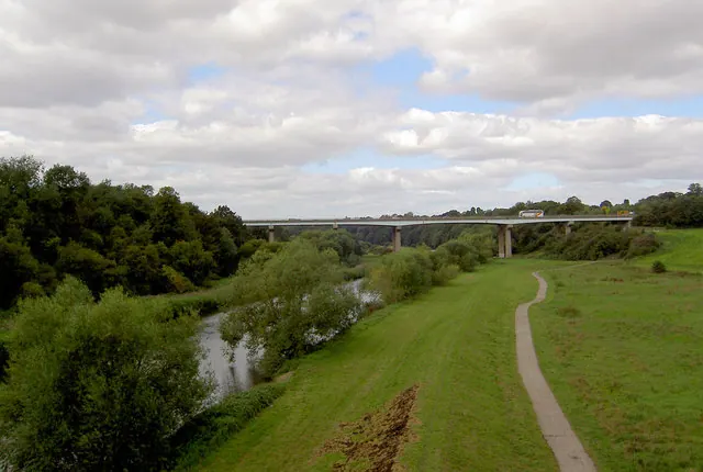
© Steve Fareham · Geograph · CC BY-SA 2.0
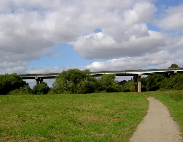
© Steve Fareham · Geograph · CC BY-SA 2.0
Images © their respective photographers, licensed under CC BY-SA 2.0 and reused here with attribution. Photographs depict listed buildings, churches and monuments near this settlement and may show neighbouring villages.
Data derived from the Open Domesday project (opendomesday.org), based on the Domesday Book dataset compiled by Professor J.J.N. Palmer and team. The Domesday Book (1086) is in the public domain.
Found an inaccuracy? [email protected]