Spondon in the Domesday Book (1086)
The settlement of Spondon is recorded in William I’s Domesday survey of 1086, entered under the hundred of Morleystone in Derbyshire.
Other Settlements in Morleystone
- Bradley
- Breadsall
- Breaston
- Cellesdene
- Chaddesden
- Codnor
- Crich
- Denby
- Derby
- Draycott
- Duffield
- Hallam
- Heanor
- Herdebi
The Meaning of the Name
The name Spondon is of Anglo-Saxon origin. Its final element derives from the Old English word dūn, a hill. The first element is most likely a personal name or an early descriptive term, now difficult to recover with certainty. Taken together the name probably meant something close to ‘a hill’.
Remarkably, the name has changed little since 1086, when the Domesday scribes wrote it as Spondon.
Listed Buildings Near Spondon
Historic England records 16 listed buildings within about a mile of Spondon. Listing protects structures of special architectural or historic interest, graded I (exceptional), II* (particularly important) and II.
Grade I
- The Homestead with gatepiers - 0.63 km
Grade II*
Grade II
- Vicarage - 0.49 km
- Church of St Werburgh - 0.5 km
- The Old Farm and Numbers 31-35 - 0.54 km
- 25, Park Road - 0.62 km
- The Grange - 0.62 km
- Prospect House - 0.62 km
- Malt Shovel Inn Public House - 0.63 km
- Longdon’s Row - 0.63 km
- Holly House - 0.64 km
- Former Coach House of the Homestead - 0.66 km
- 44, Sitwell Street - 0.68 km
- Barrows Almshouses - 0.81 km
- Bowes House - 0.85 km
- The Old School - 0.85 km
Scheduled Monuments Near Spondon
Scheduled monuments are nationally important archaeological sites given legal protection. 1 lies within roughly a mile of Spondon:
Spondon Today
Today Spondon lies within the administrative area of City of Derby, and the settlement recorded a population of 12,377 at recent figures. Nine and a half centuries separate that figure from the small rural community the Domesday survey recorded here in 1086.
Read more about modern Spondon on Wikipedia .
Nearby Domesday Settlements
Other places recorded in the 1086 survey within a few miles:
Heritage Around Spondon
Photographs of churches, listed buildings and monuments in the vicinity, contributed by volunteers to the Geograph project and reused here under a Creative Commons licence.
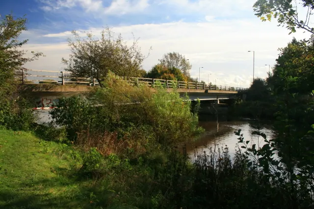
© David Lally · Geograph · CC BY-SA 2.0
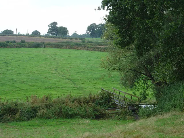
© Alan Murray-Rust · Geograph · CC BY-SA 2.0
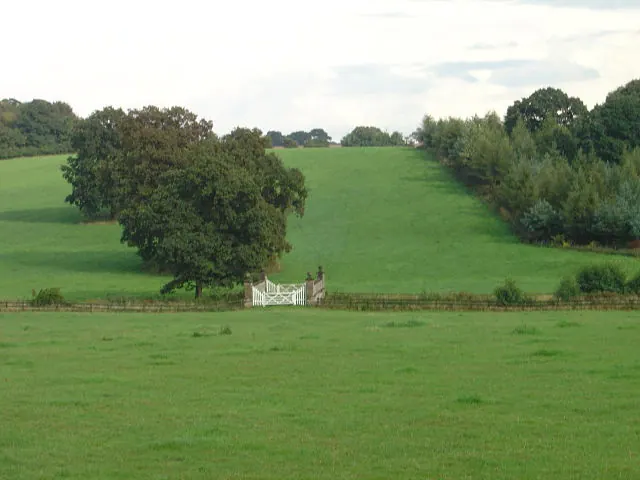
© Alan Murray-Rust · Geograph · CC BY-SA 2.0
Images © their respective photographers, licensed under CC BY-SA 2.0 and reused here with attribution. Photographs depict listed buildings, churches and monuments near this settlement and may show neighbouring villages.
Data derived from the Open Domesday project (opendomesday.org), based on the Domesday Book dataset compiled by Professor J.J.N. Palmer and team. The Domesday Book (1086) is in the public domain.
Found an inaccuracy? [email protected]