Spennithorne in the Domesday Book (1086)
Spennithorne appears in the Domesday Book of 1086, entered under the hundred of Land of Count Alan in Yorkshire.
Other Settlements in Land of Count Alan
- Achebi
- Agglethorpe
- Ainderby [Mires]
- Ainderby [Quernhow]
- Aiskew
- Aldbrough
- Allerthorpe [Hall]
- Ascam
- Ascham
- Asebi
- Aske [Hall]
- Askrigg
- Aysgarth
- Baldersby
The Meaning of the Name
The origin of the name Spennithorne is not securely established from its modern form alone; like many settlement names in the North it likely combines an Old English or Old Norse personal name with a landscape term.
Remarkably, the name has changed little since 1086, when the Domesday scribes wrote it as Spennithorne.
Listed Buildings Near Spennithorne
Historic England records 64 listed buildings within about a mile of Spennithorne. Listing protects structures of special architectural or historic interest, graded I (exceptional), II* (particularly important) and II.
Grade I
- Church of St Michael - 0.51 km
Grade II
- Old Hall Farmhouse - 0.4 km
- Abbey Cottage - 0.4 km
- Terrace Retaining Wall at Spennithorne Hall - 0.43 km
- Pippingill - 0.44 km
- Spennithorne Hall - 0.46 km
- Gates and Gate-piers to South-east of Spennithorne House - 0.46 km
- Railings, Gates, Gate-piers and Boundary Walls to Spennithorne Hall* - 0.47 km
- Railings and Gates Enclosing Chaytor Memorial, Abutting West Tower of Church of St Michael - 0.5 km
- Sebastopol Cross and base, approximately 3 metres to east of vestry of Church of St Michael - 0.51 km
- Coach-house to North of Spennithorne House - 0.57 km
- School House - 0.73 km
- School - 0.74 km
- Carlton House - 1.05 km
- The Black Bull - 1.06 km
- Warwick House - 1.06 km
- Rosemount - 1.06 km
- Gates and Gate-piers of Kingsley House - 1.06 km
- Kingsley House - 1.07 km
- Kent House - 1.07 km
- Jasmine House and Ferndale House and Railings - 1.07 km
- Carriage Drive Gates and Gateway to the Grove - 1.08 km
- Post Office - 1.09 km
- Clarendon House and Railings - 1.09 km
…and 40 more listed structures in the area.
Scheduled Monuments Near Spennithorne
Scheduled monuments are nationally important archaeological sites given legal protection. 4 lie within roughly a mile of Spennithorne:
- Middleham market cross - 1.12 km
- The Swine Cross - 1.27 km
- Middleham Castle: twelfth century tower, keep, castle and fourteenth century concentric castle. - 1.29 km
- Ulshaw Bridge - 1.56 km
Spennithorne Today
Today Spennithorne lies within the administrative area of Richmondshire, and the settlement recorded a population of 223 at the 2021 census. Nine and a half centuries separate that figure from the small rural community the Domesday survey recorded here in 1086.
Read more about modern Spennithorne on Wikipedia .
Nearby Domesday Settlements
Other places recorded in the 1086 survey within a few miles:
Heritage Around Spennithorne
Photographs of churches, listed buildings and monuments in the vicinity, contributed by volunteers to the Geograph project and reused here under a Creative Commons licence.
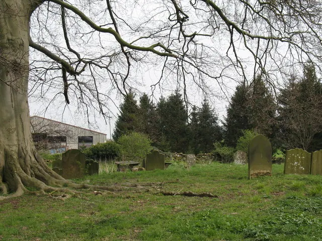
© Gordon Hatton · Geograph · CC BY-SA 2.0
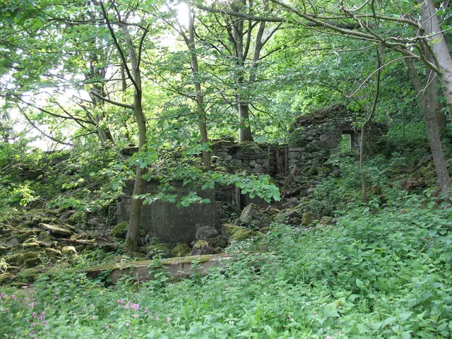
© Gordon Hatton · Geograph · CC BY-SA 2.0
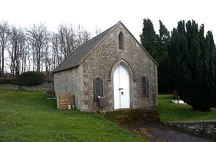
© Bill Henderson · Geograph · CC BY-SA 2.0
Images © their respective photographers, licensed under CC BY-SA 2.0 and reused here with attribution. Photographs depict listed buildings, churches and monuments near this settlement and may show neighbouring villages.
Location
54.2918°N, -1.7926°W · Land of Count Alan hundred, Yorkshire
View larger map on OpenStreetMap →Data derived from the Open Domesday project (opendomesday.org), based on the Domesday Book dataset compiled by Professor J.J.N. Palmer and team. The Domesday Book (1086) is in the public domain.
Found an inaccuracy? [email protected]