Sowerby in the Domesday Book (1086)
Sowerby appears in the Domesday Book of 1086, entered under the hundred of Yarlestre in Yorkshire.
Other Settlements in Yarlestre
- Arden [Hall]
- Asenby
- Bagby
- Baxby
- Bergebi
- Berghebi
- Bernebi
- Boltby
- Breckenbrough
- Carlton [Husthwaite]
- Carlton [Miniott]
- Catton
- Coxwold
- Crakehill
The Meaning of the Name
The name Sowerby is of Scandinavian origin. Its final element derives from the Old Norse word bý, a farmstead or village. The first element is most likely a personal name or an early descriptive term, now difficult to recover with certainty. Taken together the name probably meant something close to ‘a farmstead’.
Names of this type are a fingerprint of Scandinavian settlement: they cluster across the old Danelaw, where Norse-speaking settlers renamed or founded villages from the late 9th century onward.
Remarkably, the name has changed little since 1086, when the Domesday scribes wrote it as Sowerby.
Listed Buildings Near Sowerby
Historic England records 82 listed buildings within about a mile of Sowerby. Listing protects structures of special architectural or historic interest, graded I (exceptional), II* (particularly important) and II.
Grade II*
- Church of St Oswald - 0.5 km
Grade II
- Blakey Bridge - 0.34 km
- Manor Farm Threshing Barn With Attached Gingang - 0.38 km
- The Manor House - 0.39 km
- Dovecot to South of Manor House - 0.41 km
- 27, Front Street - 0.48 km
- 47-51, Front Street, Sowerby - 0.49 km
- 33, Front Street, Sowerby - 0.49 km
- Churchyard Wall With Piers and Overthrows - 0.51 km
- 98, Front Street - 0.53 km
- 86 and 88, Front Street, Sowerby - 0.53 km
- 96, Front Street, Sowerby - 0.53 km
- 90 and 90a, Front Street, Sowerby - 0.53 km
- 124-130, Front Street, Sowerby - 0.54 km
- Lansbury House - 0.54 km
- 68, Front Street, Sowerby - 0.54 km
- 136a, Front Street, Sowerby - 0.55 km
- Crown and Anchor Public House - 0.56 km
- 140, Front Street, Sowerby - 0.56 km
- 142 and 144, Front Street, Sowerby - 0.57 km
- 71, Front Street, Sowerby - 0.57 km
- 146 and 148, Front Street, Sowerby - 0.58 km
- 172, Front Street, Sowerby - 0.63 km
- Garden Wall Adjoining Number 172 to South - 0.63 km
…and 58 more listed structures in the area.
Scheduled Monuments Near Sowerby
Scheduled monuments are nationally important archaeological sites given legal protection. 3 lie within roughly a mile of Sowerby:
- Pudding Pie Hill: a bowl barrow 650m south-east of St Oswald’s Church - 0.47 km
- Thirsk Castle: a motte and bailey castle - 1.0 km
- A moated site 100m east of St Mary Magdalene’s Church - 1.09 km
Sowerby Today
Today Sowerby lies within the administrative area of Hambleton, and the settlement recorded a population of 5,291 at the 2021 census. Nine and a half centuries separate that figure from the small rural community the Domesday survey recorded here in 1086.
Read more about modern Sowerby on Wikipedia .
Nearby Domesday Settlements
Other places recorded in the 1086 survey within a few miles:
- Thirsk - 1.4 km NW
- Thorpefield - 2.8 km SW
- Bagby - 3.2 km E
- Marderby Hall - 3.6 km NE
- Carlton Miniott - 4.0 km W
- Hundulfthorpe Farm - 4.1 km N
Heritage Around Sowerby
Photographs of churches, listed buildings and monuments in the vicinity, contributed by volunteers to the Geograph project and reused here under a Creative Commons licence.
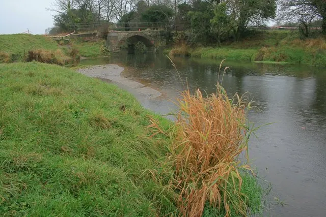
© Mick Garratt · Geograph · CC BY-SA 2.0
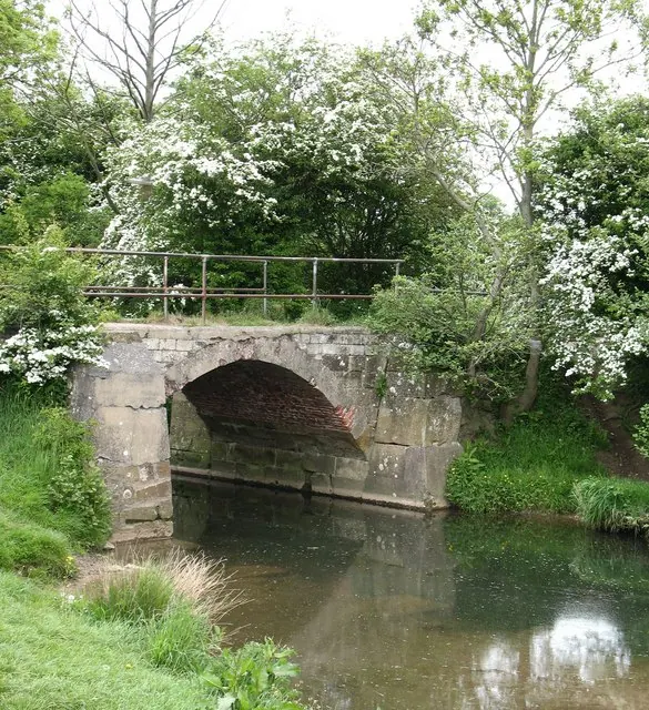
© Gordon Hatton · Geograph · CC BY-SA 2.0
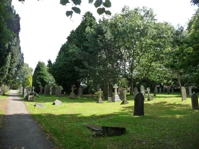
© Christine Johnstone · Geograph · CC BY-SA 2.0
Images © their respective photographers, licensed under CC BY-SA 2.0 and reused here with attribution. Photographs depict listed buildings, churches and monuments near this settlement and may show neighbouring villages.
Data derived from the Open Domesday project (opendomesday.org), based on the Domesday Book dataset compiled by Professor J.J.N. Palmer and team. The Domesday Book (1086) is in the public domain.
Found an inaccuracy? [email protected]