Sowerby in the Domesday Book (1086)
Sowerby appears in the Domesday Book of 1086, entered under the hundred of Morley in Yorkshire. The survey assessed Sowerby at 3 carucates of taxable land.
At the time of the survey, Sowerby supported a recorded population of 7 villagers, 3 smallholders, working 2 ploughs between them.
The numbers record a sharp fall. Before 1066, Sowerby was worth 2 shillings; by 1086 that had dropped to 16d – a fall of 60%. Most Yorkshire villages that lost value on this scale were swept up in the Harrying of the North – William’s scorched-earth campaign of 1069–70.
Resources Recorded at Sowerby (1086)
- Meadow: 2 acres
- Woodland: 0.5 * 0.25 leagues
Other Settlements in Morley
- Allerton
- Armley
- Batley
- Beeston
- Bolton
- Bowling
- Bradford
- Bramley
- Calverley
- Carlton
- Chellow [Grange]
- Clayton
- Clifton
- Cruttonstall
The Meaning of the Name
The name Sowerby is of Scandinavian origin. Its final element derives from the Old Norse word bý, a farmstead or village. The first element is most likely a personal name or an early descriptive term, now difficult to recover with certainty. Taken together the name probably meant something close to ‘a farmstead’.
Names of this type are a fingerprint of Scandinavian settlement: they cluster across the old Danelaw, where Norse-speaking settlers renamed or founded villages from the late 9th century onward.
Remarkably, the name has changed little since 1086, when the Domesday scribes wrote it as Sowerby.
Listed Buildings Near Sowerby
Historic England records 97 listed buildings within about a mile of Sowerby. Listing protects structures of special architectural or historic interest, graded I (exceptional), II* (particularly important) and II.
Grade I
- Wood Lane Hall - 0.32 km
- Church of St Peter - 0.41 km
Grade II*
- 52 and 54, Town Gate - 0.63 km
- Haugh End House - 0.78 km
Grade II
- Lea family tomb, approximately 43 metres to north of sanctuary of Church of St Peter - 0.37 km
- Pollard Family Tomb, Approximately 37 Metres to North North West of Sanctuary of Church of St Peter - 0.38 km
- Smith Family Tomb, Approximately 30 Metres to North of Sanctuary of Church of St Peter - 0.38 km
- Lower Wood Lane Farmhouse and Attached Barn - 0.41 km
- Church Terrace - 0.42 km
- Churchyard Wall With 3 Pairs of Gate Piers, 2 With Gates, to Church of St Peter - 0.44 km
- 1, 2 and 10, Sowerby Hall - 0.47 km
- High Royd Bridge Rochdale Canal High Royd Bridge - 0.59 km
- 40 and 42 (The Royd), Town Gate - 0.62 km
- Cemetery Chapel - 0.62 km
- Castle Hill - 0.64 km
- Brockwell House and Brockwell Cottage - 0.68 km
- Longfield House and Fairfield House - 0.74 km
- Brock Well Gate - 0.74 km
- 80 and 82, Dob Lane - 0.75 km
- Stump Cottage - 0.76 km
- 84, Dob Lane - 0.76 km
- Haugh End Farmhouse - 0.76 km
- White Windows, Cheshire Home - 0.76 km
- Old Haugh End Old Haugh End Cottage - 0.79 km
…and 73 more listed structures in the area.
Scheduled Monuments Near Sowerby
Scheduled monuments are nationally important archaeological sites given legal protection. 1 lies within roughly a mile of Sowerby:
Sowerby Today
Today Sowerby lies within the administrative area of Calderdale.
Read more about modern Sowerby on Wikipedia .
Nearby Domesday Settlements
Other places recorded in the 1086 survey within a few miles:
Heritage Around Sowerby
Photographs of churches, listed buildings and monuments in the vicinity, contributed by volunteers to the Geograph project and reused here under a Creative Commons licence.
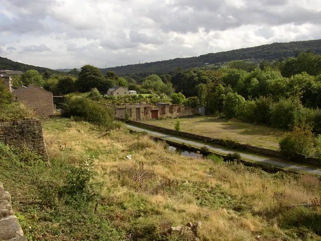
© Humphrey Bolton · Geograph · CC BY-SA 2.0
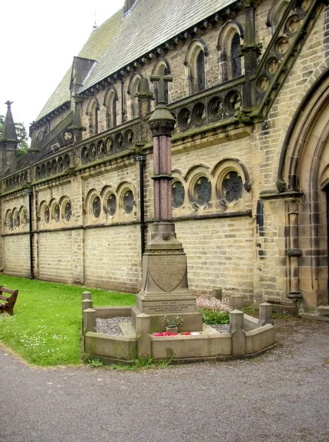
© Humphrey Bolton · Geograph · CC BY-SA 2.0
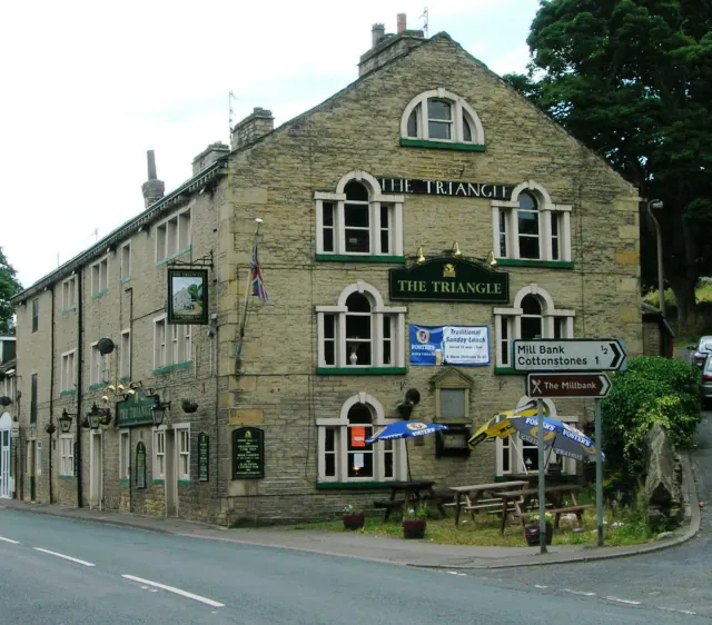
© Ian M · Geograph · CC BY-SA 2.0
Images © their respective photographers, licensed under CC BY-SA 2.0 and reused here with attribution. Photographs depict listed buildings, churches and monuments near this settlement and may show neighbouring villages.
Data derived from the Open Domesday project (opendomesday.org), based on the Domesday Book dataset compiled by Professor J.J.N. Palmer and team. The Domesday Book (1086) is in the public domain.
Found an inaccuracy? [email protected]