Southowram in the Domesday Book (1086)
The settlement of Southowram is recorded in William I’s Domesday survey of 1086, entered under the hundred of Morley in Yorkshire.
Other Settlements in Morley
- Allerton
- Armley
- Batley
- Beeston
- Bolton
- Bowling
- Bradford
- Bramley
- Calverley
- Carlton
- Chellow [Grange]
- Clayton
- Clifton
- Cruttonstall
The Meaning of the Name
The origin of the name Southowram is not securely established from its modern form alone; like many settlement names in the North it likely combines an Old English or Old Norse personal name with a landscape term.
Remarkably, the name has changed little since 1086, when the Domesday scribes wrote it as Southowram.
Listed Buildings Near Southowram
Historic England records 18 listed buildings within about a mile of Southowram. Listing protects structures of special architectural or historic interest, graded I (exceptional), II* (particularly important) and II.
Grade II
- Wesley Methodist Church - 0.12 km
- Methodist Sunday School - 0.24 km
- Church of St Anne in the Grove - 0.48 km
- Ashday Hall and Attached Buildings - 0.52 km
- Cross Platts Farmhouse - 0.69 km
- Law Farmhouse and Attached Barn - 0.9 km
- Ivy House and Attached Barn - 0.93 km
- 4-8, Park Nook - 1.01 km
- 9-12, Park Nook - 1.01 km
- 1, Park Nook - 1.03 km
- Westfield Gate Farmhouse and Attached Barn - 1.06 km
- Highfield Farmhouse and Highfield Farm Cottage - 1.08 km
- Boundary Stone, 130 Metres West of Rawsons Arms at Ngr Se 115223 - 1.1 km
- Law Hill House - 1.13 km
- Number 39 and Adjacent Block - 1.15 km
- Ash Grove - 1.2 km
- Sunny Bank Farmhouse - 1.24 km
- Upper Marsh Farmhouse and Attached Barn - 1.29 km
Southowram Today
Today Southowram lies within the administrative area of Calderdale.
Read more about modern Southowram on Wikipedia .
Nearby Domesday Settlements
Other places recorded in the 1086 survey within a few miles:
- Hipperholme - 2.2 km NE
- Elland - 2.2 km SW
- Rastrick - 2.8 km SE
- Northowram - 3.0 km N
- Greetland - 3.6 km SW
- Old Lindley - 4.5 km SW
Heritage Around [South]owram
Photographs of churches, listed buildings and monuments in the vicinity, contributed by volunteers to the Geograph project and reused here under a Creative Commons licence.
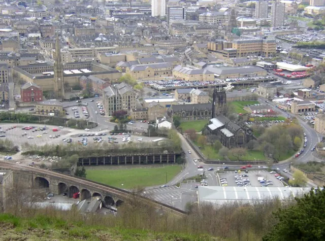
© Humphrey Bolton · Geograph · CC BY-SA 2.0
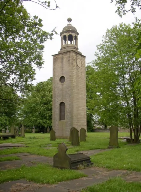
© Humphrey Bolton · Geograph · CC BY-SA 2.0
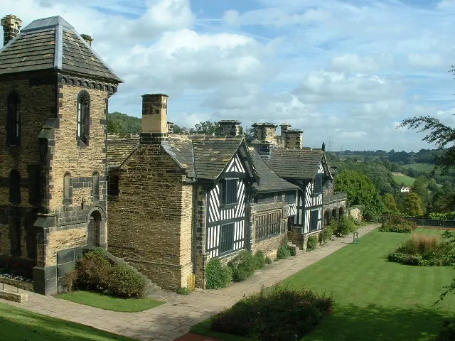
© Nigel Homer · Geograph · CC BY-SA 2.0
Images © their respective photographers, licensed under CC BY-SA 2.0 and reused here with attribution. Photographs depict listed buildings, churches and monuments near this settlement and may show neighbouring villages.
Data derived from the Open Domesday project (opendomesday.org), based on the Domesday Book dataset compiled by Professor J.J.N. Palmer and team. The Domesday Book (1086) is in the public domain.
Found an inaccuracy? [email protected]