Southorpe in the Domesday Book (1086)
Southorpe appears in the Domesday Book of 1086, entered under the hundred of Holderness [North Hundred] in Yorkshire. The survey assessed Southorpe at 1 carucate of taxable land.
At the time of the survey, Southorpe supported a recorded population of 4 smallholders, working 1 plough between them.
The survey records Southorpe’s value at 1 shilling in 1086. No pre-Conquest figure survives – not unusual in the North, where records were disrupted by the Harrying and by the patchy coverage of the survey.
Resources Recorded at Southorpe (1086)
- Meadow: 7 acres
- Woodland: 6 acres
Other Settlements in Holderness [North Hundred]
- Arnestorp
- Arram
- Barmston
- Beeford
- Bewholme
- Brandesburton
- Catfoss [Hall]
- Catwick
- Chenecol
- Chenucol
- Chenuthesholm
- Cleeton
- Dringhoe
- Dunnington
The Meaning of the Name
The name Southorpe is of Scandinavian origin. Its final element derives from the Old Norse word þorp, an outlying or secondary farmstead, while the first element appears to represent the southern. Taken together the name probably meant something close to ’the southern outlying farm’.
Names of this type are a fingerprint of Scandinavian settlement: they cluster across the old Danelaw, where Norse-speaking settlers renamed or founded villages from the late 9th century onward.
Remarkably, the name has changed little since 1086, when the Domesday scribes wrote it as Southorpe.
Listed Buildings Near Southorpe
Historic England records 17 listed buildings within about a mile of Southorpe. Listing protects structures of special architectural or historic interest, graded I (exceptional), II* (particularly important) and II.
Grade I
- Church of Saint Nicholas - 1.26 km
Grade II*
- The White House - 1.03 km
Grade II
- Wayside Cross - 1.02 km
- Group of Seven Recumbent Grave Markers About 10 Metres West of the White House - 1.02 km
- Stable Block to the White House - 1.02 km
- The Nook - 1.12 km
- 32, Westgate - 1.14 km
- 65 and 66, Southgate - 1.17 km
- 20, Westgate - 1.19 km
- 3, Southgate - 1.19 km
- Corner Cottage Sunset Cottage - 1.2 km
- Pike and Heron Public House - 1.2 km
- 2, Market Place - 1.22 km
- Cross in Churchyard of St Nicholas - 1.22 km
- Ye Old Cottage Cafe - 1.27 km
- The Old Hall - 1.28 km
- Folly - 1.28 km
Scheduled Monuments Near Southorpe
Scheduled monuments are nationally important archaeological sites given legal protection. 2 lie within roughly a mile of Southorpe:
- Medieval settlement of Southorpe and field system, north east of Southorpe Farm - 0.07 km
- Moated site in Hall Garth Park - 1.35 km
Nearby Domesday Settlements
Other places recorded in the 1086 survey within a few miles:
- Hornsea Burton - 1.0 km E
- Hornsea - 1.4 km NE
- Wassand Hall - 2.0 km W
- Rolston - 2.2 km SE
- Goxhill - 2.2 km SW
- Seaton - 3.0 km W
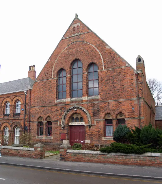
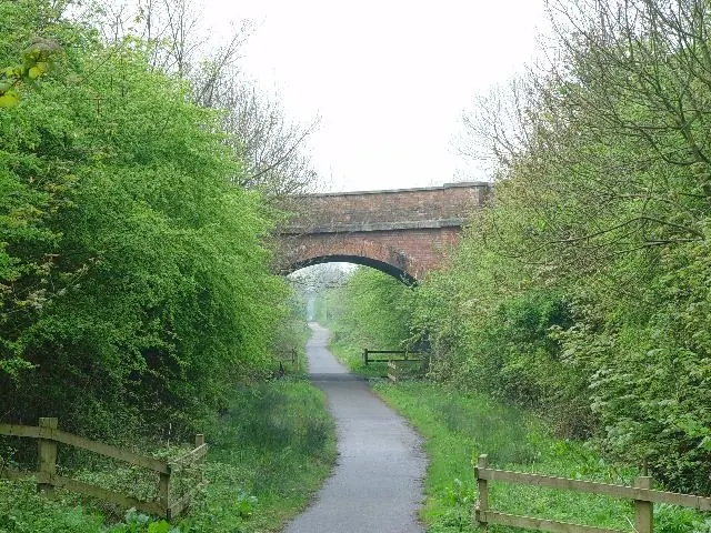
Heritage Around [Sou]thorpe
Photographs of churches, listed buildings and monuments in the vicinity, contributed by volunteers to the Geograph project and reused here under a Creative Commons licence.
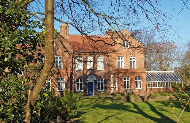
© David Wright · Geograph · CC BY-SA 2.0
© David Wright · Geograph · CC BY-SA 2.0
© Peter Church · Geograph · CC BY-SA 2.0
Images © their respective photographers, licensed under CC BY-SA 2.0 and reused here with attribution. Photographs depict listed buildings, churches and monuments near this settlement and may show neighbouring villages.
Location
53.9007°N, -0.1810°W · Holderness [North Hundred] hundred, Yorkshire
View larger map on OpenStreetMap →Data derived from the Open Domesday project (opendomesday.org), based on the Domesday Book dataset compiled by Professor J.J.N. Palmer and team. The Domesday Book (1086) is in the public domain.
Found an inaccuracy? [email protected]