Southcoates in the Domesday Book (1086)
Southcoates appears in the Domesday Book of 1086, entered under the hundred of Holderness [Middle Hundred] in Yorkshire.
Other Settlements in Holderness [Middle Hundred]
- Aldbrough
- Benningholme [Hall]
- Bewick [Hall]
- Bilton
- Burton [Constable]
- Burton [Pidsea]
- Conis[ton]
- Danthorpe
- Dowthorpe [Hall]
- Drypool
- Ellerby
- Elstronwick
- Eske
- Etherdwick
The Meaning of the Name
The origin of the name Southcoates is not securely established from its modern form alone; like many settlement names in the North it likely combines an Old English or Old Norse personal name with a landscape term.
Remarkably, the name has changed little since 1086, when the Domesday scribes wrote it as Southcoates.
Listed Buildings Near Southcoates
Historic England records 30 listed buildings within about a mile of Southcoates. Listing protects structures of special architectural or historic interest, graded I (exceptional), II* (particularly important) and II.
Grade II
- Southcoates Lane Education Centre - 0.13 km
- Southcoates Lane Primary School - 0.14 km
- Windmill at the Mill Public House - 0.51 km
- The Mill Public House - 0.52 km
- Nos. 614-620, HOLDERNESS ROAD - 0.53 km
- K6 Telephone Kiosk Adjoining Boundary Wall at Ferens Havens - 0.6 km
- Ferens Haven and Boundary Wall - 0.64 km
- Former Chapel and Crematorium at Hedon Road Cemetery - 0.85 km
- Columbarium 75 Metres South of Crematorium at Hedon Road Cemetery - 0.88 km
- Columbarium 75 Metres South East of Crematorium at Hedon Road Cemetery - 0.9 km
- Water Chute on the Boating Lake in East Park - 0.91 km
- Holderness House - 0.97 km
- North Lodge - 1.0 km
- Statue of James Stuart 20 Metres South East of Number 1 Village Road - 1.0 km
- Frederick Reckitt Havens - 1.0 km
- 1 and 3, Village Road - 1.01 km
- Nos 365-371 Holderness Road - 1.04 km
- Kingston Wesleyan Methodist Church - 1.15 km
- 67 and 69, Village Road - 1.21 km
- 81 Village Road - 1.21 km
- 15 and 16, the Oval - 1.23 km
- 13 and 14, the Oval - 1.24 km
- 71, Village Road - 1.24 km
- 11 and 12, the Oval - 1.24 km
…and 6 more listed structures in the area.
Southcoates Today
Today Southcoates lies within the administrative area of City of Kingston upon Hull.
Read more about modern Southcoates on Wikipedia .
Nearby Domesday Settlements
Other places recorded in the 1086 survey within a few miles:
- Marfleet - 2.2 km SE
- South Skirlaugh - 2.2 km SE
- Sutton on Hull - 2.2 km NW
- Drypool - 2.8 km SW
- Bilton - 3.6 km NE
- Myton - 3.6 km SW
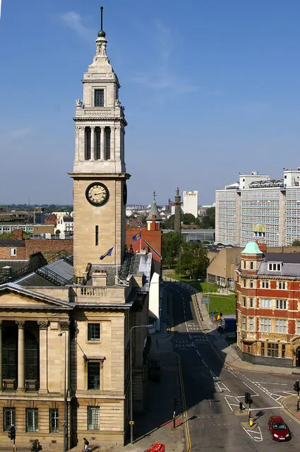
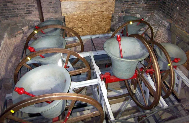
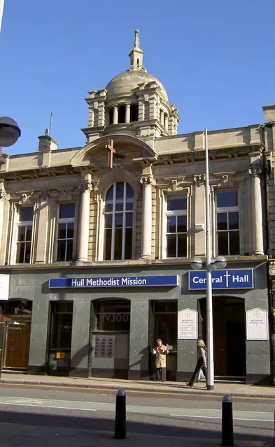
Heritage Around Southcoates
Photographs of churches, listed buildings and monuments in the vicinity, contributed by volunteers to the Geograph project and reused here under a Creative Commons licence.
© David Wright · Geograph · CC BY-SA 2.0
© David Wright · Geograph · CC BY-SA 2.0
© Charles Rispin · Geograph · CC BY-SA 2.0
Images © their respective photographers, licensed under CC BY-SA 2.0 and reused here with attribution. Photographs depict listed buildings, churches and monuments near this settlement and may show neighbouring villages.
Location
53.7585°N, -0.2934°W · Holderness [Middle Hundred] hundred, Yorkshire
View larger map on OpenStreetMap →Data derived from the Open Domesday project (opendomesday.org), based on the Domesday Book dataset compiled by Professor J.J.N. Palmer and team. The Domesday Book (1086) is in the public domain.
Found an inaccuracy? [email protected]