South Kirkby in the Domesday Book (1086)
The settlement of South Kirkby is recorded in William I’s Domesday survey of 1086, entered under the hundred of Strafforth in Yorkshire.
Other Settlements in Strafforth
- Adwick [le Street]
- Adwick [upon Dearne]
- Armthorpe
- Aston
- Attercliffe
- Auckley
- Aughton [Hall]
- Austerfield
- Balby
- Barnbrough
- Barnby [Dun]
- Bentley
- Bilham [House]
- Billingley
The Meaning of the Name
The name South Kirkby is of Scandinavian origin. Its final element derives from the Old Norse word bý, a farmstead or village, while the first element appears to represent the church (ON kirkja). Taken together the name probably meant something close to ’the church farmstead’.
Names of this type are a fingerprint of Scandinavian settlement: they cluster across the old Danelaw, where Norse-speaking settlers renamed or founded villages from the late 9th century onward.
Remarkably, the name has changed little since 1086, when the Domesday scribes wrote it as South Kirkby.
Listed Buildings Near South Kirkby
Historic England records 7 listed buildings within about a mile of South Kirkby. Listing protects structures of special architectural or historic interest, graded I (exceptional), II* (particularly important) and II.
Grade I
- Church of All Saints - 0.5 km
Grade II
- Stockingate Farmhouse - 1.05 km
- Barn Approximately 10 Metres East of Ball Park Farmhouse - 1.16 km
- 1, Green Lane - 1.18 km
- Cart Shed and Granary Approximately 5 Metres North of Ball Park Farmhouse - 1.18 km
- South Elmsall and Moorthorpe War Memorial - 1.26 km
- Arden Farmhouse - 1.27 km
South Kirkby Today
Today South Kirkby lies within the administrative area of South Kirkby and Moorthorpe.
Read more about modern South Kirkby on Wikipedia .
Nearby Domesday Settlements
Other places recorded in the 1086 survey within a few miles:
- Moorthorpe - 1.0 km E
- South Elmsall - 2.0 km E
- Minsthorpe - 2.2 km NE
- North Elmsall - 2.2 km NE
- Upton - 2.8 km NE
- Badsworth - 3.2 km N
Heritage Around [South] Kirkby
Photographs of churches, listed buildings and monuments in the vicinity, contributed by volunteers to the Geograph project and reused here under a Creative Commons licence.
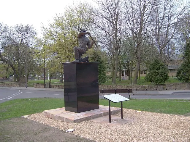
© Mike Duffy · Geograph · CC BY-SA 2.0
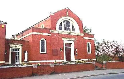
© Bill Henderson · Geograph · CC BY-SA 2.0
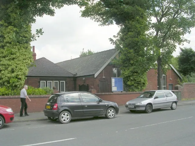
© Betty Longbottom · Geograph · CC BY-SA 2.0
Images © their respective photographers, licensed under CC BY-SA 2.0 and reused here with attribution. Photographs depict listed buildings, churches and monuments near this settlement and may show neighbouring villages.
Data derived from the Open Domesday project (opendomesday.org), based on the Domesday Book dataset compiled by Professor J.J.N. Palmer and team. The Domesday Book (1086) is in the public domain.
Found an inaccuracy? [email protected]