South Crosland in the Domesday Book (1086)
The 1086 Domesday survey records the settlement of South Crosland, entered under the hundred of Agbrigg in Yorkshire.
Other Settlements in Agbrigg
- Ackton
- Almondbury
- Austonley
- Bradley
- Cartworth
- Crigglestone
- Crofton
- Dalton
- Emley
- Farnley [Tyas]
- Flockton
- Fulstone
- Golcar
- Hepworth
The Meaning of the Name
The origin of the name South Crosland is not securely established from its modern form alone; like many settlement names in the North it likely combines an Old English or Old Norse personal name with a landscape term.
Remarkably, the name has changed little since 1086, when the Domesday scribes wrote it as South Crosland.
Listed Buildings Near South Crosland
Historic England records 42 listed buildings within about a mile of South Crosland. Listing protects structures of special architectural or historic interest, graded I (exceptional), II* (particularly important) and II.
Grade II*
- Healey House - 0.53 km
Grade II
- Sun End Farmhouse Including Barn - 0.19 km
- Barn to North of Number 23 - 0.29 km
- Wall to Churchyard of Holy Trinity and Gates at South East and South West Corners - 0.32 km
- Church of the Holy Trinity - 0.33 km
- Green Fold Farmhouse Including Barn - 0.34 km
- Number 40 Including Barn - 0.36 km
- National School - 0.38 km
- 41 and 43 Midway - 0.39 km
- Barn at Pond Farm Facing Road - 0.4 km
- Vicarage - 0.42 km
- Bridge Over Hall Dike - 0.42 km
- 46-50, Midway - 0.44 km
- 52 and 54, Midway - 0.47 km
- Coach House to Healey House - 0.5 km
- Pinfold at Crab Tree Well - 0.5 km
- 2 Miles Post Between Netherton and Healey House - 0.5 km
- Drinking Trough at Crab Tree Well - 0.51 km
- School House - 0.62 km
- Sunny Bank - 0.66 km
- Green Gate Knoll - 0.69 km
- Lower Batter Farmhouse - 0.69 km
- Number 10 Including Outhouse to East - 0.71 km
- 24, School Hill - 0.75 km
…and 18 more listed structures in the area.
Scheduled Monuments Near South Crosland
Scheduled monuments are nationally important archaeological sites given legal protection. 3 lie within roughly a mile of South Crosland:
- Crosland Lower Hall moated site - 0.39 km
- Cairnfield in Honley Old Wood, 280m north west of The Woodlands - 0.99 km
- Cairnfield in Slate Pits Wood, 170m north west of Oak Cottage - 1.57 km
South Crosland Today
Today South Crosland lies within the administrative area of Kirklees.
Read more about modern South Crosland on Wikipedia .
Nearby Domesday Settlements
Other places recorded in the 1086 survey within a few miles:
- Honley - 2.0 km E
- Meltham - 2.2 km SW
- Lockwood - 3.6 km NE
- Golcar - 3.6 km NW
- Upperthong - 4.1 km S
- Farnley Tyas - 5.0 km E
Heritage Around [South] Crosland
Photographs of churches, listed buildings and monuments in the vicinity, contributed by volunteers to the Geograph project and reused here under a Creative Commons licence.
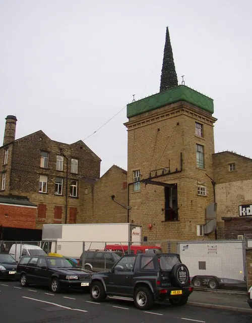
© Humphrey Bolton · Geograph · CC BY-SA 2.0
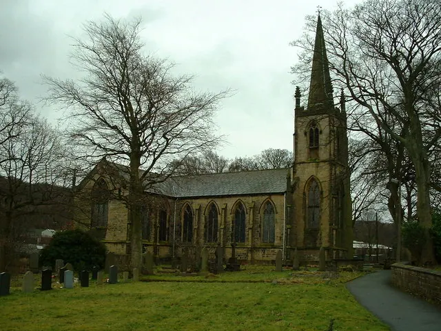
© Nigel Homer · Geograph · CC BY-SA 2.0
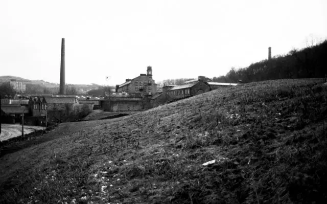
© Chris Allen · Geograph · CC BY-SA 2.0
Images © their respective photographers, licensed under CC BY-SA 2.0 and reused here with attribution. Photographs depict listed buildings, churches and monuments near this settlement and may show neighbouring villages.
Data derived from the Open Domesday project (opendomesday.org), based on the Domesday Book dataset compiled by Professor J.J.N. Palmer and team. The Domesday Book (1086) is in the public domain.
Found an inaccuracy? [email protected]