Sotleie in the Domesday Book (1086)
The settlement of Sotleie is recorded in William I’s Domesday survey of 1086, entered under the hundred of Craven in Yorkshire. The survey assessed Sotleie at 77 carucates of taxable land.
The survey records Sotleie’s value at 0d in 1086. No pre-Conquest figure survives – not unusual in the North, where records were disrupted by the Harrying and by the patchy coverage of the survey.
The Domesday survey records Sotleie as waste - uninhabited and unproductive. In Yorkshire, this designation most often reflects the Harrying of the North of 1069–70, when William I’s forces destroyed crops, livestock, and communities across the county to crush rebellion. Whether Sotleie recovered in subsequent decades is not recorded.
Other Settlements in Craven
- Addingham
- Airton
- Anley
- Appletreewick
- Arncliffe
- Arnford
- Barnoldswick
- Bashall [Eaves]
- Battersby [Barn]
- Beamsley
- Birkby [Hall]
- Bogeuurde
- Bolton [Abbey]
- Bolton [by Bowland]
The Meaning of the Name
The origin of the name Sotleie is not securely established from its modern form alone; like many settlement names in the North it likely combines an Old English or Old Norse personal name with a landscape term.
Remarkably, the name has changed little since 1086, when the Domesday scribes wrote it as Sotleie.
Listed Buildings Near Sotleie
Historic England records 1 listed building within about a mile of Sotleie. Listing protects structures of special architectural or historic interest, graded I (exceptional), II* (particularly important) and II.
Grade II
- Lees House Farmhouse - 0.41 km
Nearby Domesday Settlements
Other places recorded in the 1086 survey within a few miles:
- Radholme Laund - 2.0 km N
- Chipping - 4.0 km W
- Aighton - 4.1 km S
- Bashall Eaves - 5.1 km E
- Wheatley - 5.6 km SW
- Waddington - 6.0 km E
Heritage Around Sotleie
Photographs of churches, listed buildings and monuments in the vicinity, contributed by volunteers to the Geograph project and reused here under a Creative Commons licence.
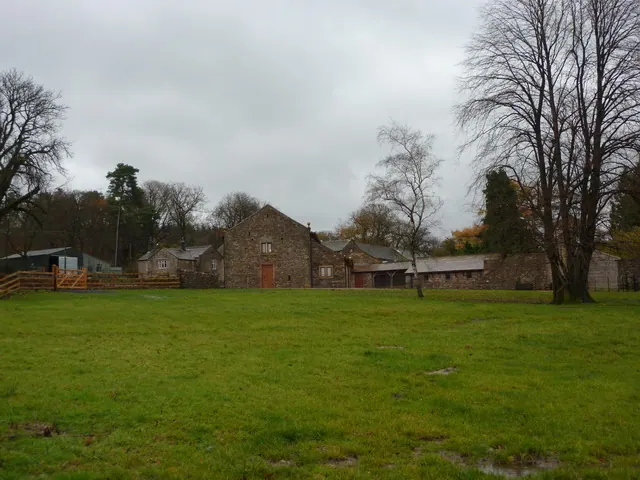
© Alexander P Kapp · Geograph · CC BY-SA 2.0
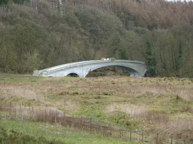
© Alexander P Kapp · Geograph · CC BY-SA 2.0
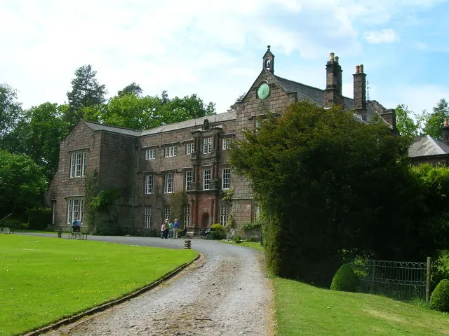
© John H Darch · Geograph · CC BY-SA 2.0
Images © their respective photographers, licensed under CC BY-SA 2.0 and reused here with attribution. Photographs depict listed buildings, churches and monuments near this settlement and may show neighbouring villages.
Data derived from the Open Domesday project (opendomesday.org), based on the Domesday Book dataset compiled by Professor J.J.N. Palmer and team. The Domesday Book (1086) is in the public domain.
Found an inaccuracy? [email protected]