Snitertun in the Domesday Book (1086)
Snitertun is named in the Domesday Book, compiled by Norman commissioners in 1086, entered under the hundred of Skyrack in Yorkshire.
Other Settlements in Skyrack
- Adel
- Allerton [Bywater]
- Alwoodley
- Arthington
- Austhorpe
- Baildon
- Bardsey
- Barwick [in Elmet]
- Bichertun
- Bicherun
- Bingley
- Birkby [Hill]
- Bramhope
- Burden [Head]
The Meaning of the Name
The name Snitertun is of Anglo-Saxon origin. Its final element derives from the Old English word tūn, a farmstead or village. The first element is most likely a personal name or an early descriptive term, now difficult to recover with certainty. Taken together the name probably meant something close to ‘a farmstead’.
Remarkably, the name has changed little since 1086, when the Domesday scribes wrote it as Snitertun.
Listed Buildings Near Snitertun
Historic England records 372 listed buildings within about a mile of Snitertun. Listing protects structures of special architectural or historic interest, graded I (exceptional), II* (particularly important) and II.
Grade I
- City Markets - 0.16 km
- Parish Church of St Peter - 0.18 km
- Corn Exchange - 0.22 km
Grade II*
- First Leeds Cloth Hall - 0.16 km
- Waterloo House North East Range of White Cloth Hall With Assembly Rooms Over - 0.18 km
- Remains of North West Range of White Cloth Hall Including Entrance - 0.22 km
Grade II
- 46 and 48, New York Street - 0.05 km
- New York Street - 0.08 km
- St Jame’s Hall Westminster Buildings - 0.09 km
- No. 4 New York Street - 0.14 km
- New York Buildings - 0.14 km
- 1, Church Row - 0.16 km
- North Boundary Wall and Steps, North West Gate and Piers, War Memorial and East Bar Stone - 0.16 km
- Boundary Wall to West of Parish Church of St Peter With South West Gateway - 0.18 km
- 15 and 17, High Court Lane - 0.18 km
- 19, High Court Lane - 0.19 km
- 5 and 7, Crown Street - 0.19 km
- Gateway and Boundary Wall to East of Parish Church of St Peter - 0.2 km
- No. 110 Kirkgate - 0.21 km
- 50-56, VICAR LANE (See details for further address information) - 0.22 km
- Petrol Station - 0.22 km
- Railings Enclosing the Petrol Station - 0.22 km
- Fletland Mills - 0.23 km
- The General Eliott Public House - 0.24 km
…and 348 more listed structures in the area.
Snitertun Today
Today Snitertun lies within the administrative area of Leeds.
Read more about modern Steander on Wikipedia .
Nearby Domesday Settlements
Other places recorded in the 1086 survey within a few miles:
Heritage Around Snitertun
Photographs of churches, listed buildings and monuments in the vicinity, contributed by volunteers to the Geograph project and reused here under a Creative Commons licence.
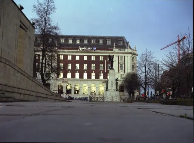
© Mike Wallis · Geograph · CC BY-SA 2.0
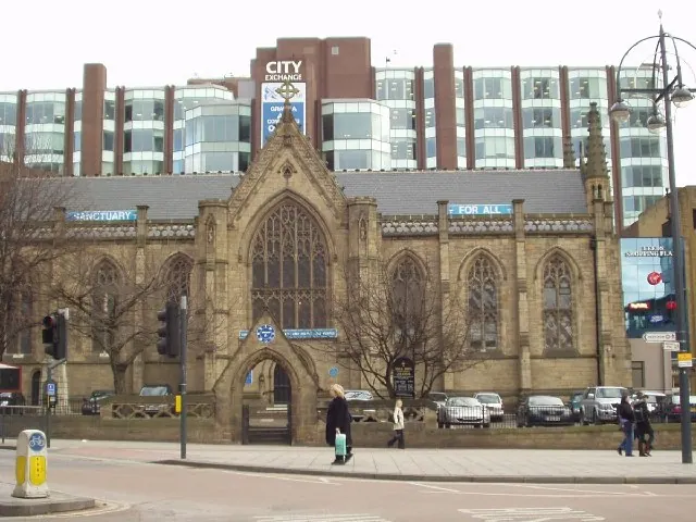
© Rich Tea · Geograph · CC BY-SA 2.0
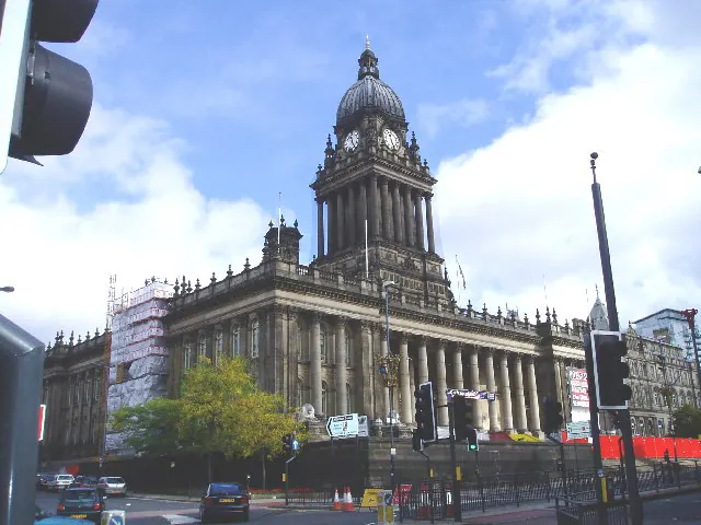
© Charles Rawding · Geograph · CC BY-SA 2.0
Images © their respective photographers, licensed under CC BY-SA 2.0 and reused here with attribution. Photographs depict listed buildings, churches and monuments near this settlement and may show neighbouring villages.
Data derived from the Open Domesday project (opendomesday.org), based on the Domesday Book dataset compiled by Professor J.J.N. Palmer and team. The Domesday Book (1086) is in the public domain.
Found an inaccuracy? [email protected]