Snelston in the Domesday Book (1086)
The settlement of Snelston is recorded in William I’s Domesday survey of 1086, entered under the hundred of Appletree in Derbyshire.
Other Settlements in Appletree
- Alkmonton
- Ashe
- Aston
- Barton [Blount]
- Bentley
- Boylestone
- Bradley
- Brailsford
- Bupton
- Clifton
- Doveridge
- Eaton [Dovedale]
- Edlaston
- Ednaston
The Meaning of the Name
The name Snelston is of Anglo-Saxon origin. Its final element derives from the Old English word tūn, a farmstead or village. The first element is most likely a personal name or an early descriptive term, now difficult to recover with certainty. Taken together the name probably meant something close to ‘a farmstead’.
Remarkably, the name has changed little since 1086, when the Domesday scribes wrote it as Snelston.
Listed Buildings Near Snelston
Historic England records 24 listed buildings within about a mile of Snelston. Listing protects structures of special architectural or historic interest, graded I (exceptional), II* (particularly important) and II.
Grade II*
- Church of St Peter - 0.14 km
Grade II
- Outbuildings to West of Snelston Hall - 0.11 km
- Boat House and Summer House to North of Snelston Hall - 0.11 km
- Snelston Hall and attached outbuildings and stable block - 0.14 km
- Church Lodge - 0.15 km
- Entrance Gates and Walls to Snelston Hall - 0.16 km
- Fountain 5 Metres South of Ruined Hall at Snelston - 0.19 km
- Ruins of Former Snelston Hall and Attached Walls and Gates - 0.22 km
- Icehouse 5 Yards to North West of the Remains of Old Snelston Hall - 0.23 km
- K6 Telephone Kiosk - 0.27 km
- Brookside - 0.34 km
- School Farmhouse - 0.34 km
- School House Cottages - 0.36 km
- The Old Post Office - 0.38 km
- Brookside Cottages - 0.44 km
- War Memorial - 0.46 km
- The Stanton Arms and Attached Stableblock - 0.48 km
- Outbuildings to West of the Stanton Arms - 0.51 km
- Ashbourne Lodge - 0.67 km
- Walls and Gates Adjacent to Ashbourne Lodge - 0.68 km
- Cross Approximately 15 Yards South of South Aisle of Church of St John Baptist - 1.28 km
- Memorial Approximately 4 Yards South of South Porch of Church of St John Baptist - 1.29 km
- Memorial Approximately 1 Yard South of South Aisle of Church of St John Baptist - 1.29 km
- Memorial approximately 3 yards south of south aisle of Church of St John Baptist - 1.3 km
Snelston Today
Today Snelston lies within the administrative area of Derbyshire Dales, and the settlement recorded a population of 201 at the 2021 census. Nine and a half centuries separate that figure from the small rural community the Domesday survey recorded here in 1086.
Read more about modern Snelston on Wikipedia .
Nearby Domesday Settlements
Other places recorded in the 1086 survey within a few miles:
Heritage Around Snelston
Photographs of churches, listed buildings and monuments in the vicinity, contributed by volunteers to the Geograph project and reused here under a Creative Commons licence.
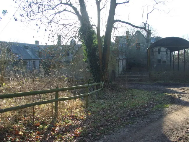
© Peter Taylor · Geograph · CC BY-SA 2.0
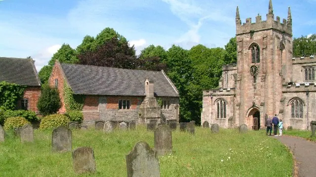
© Alan Walker · Geograph · CC BY-SA 2.0
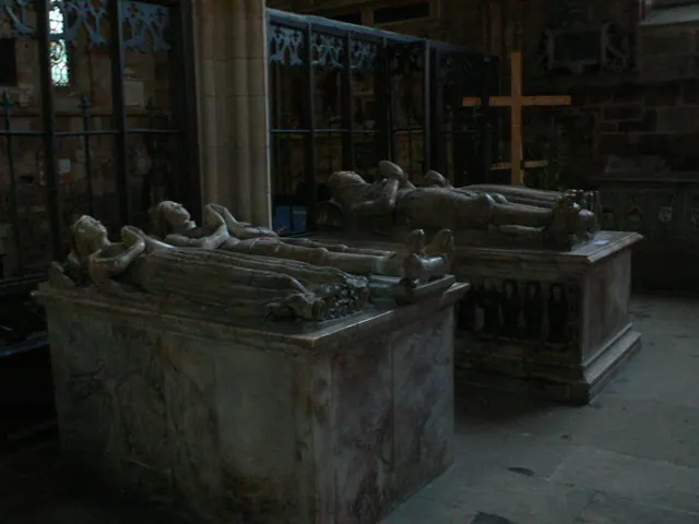
© Eirian Evans · Geograph · CC BY-SA 2.0
Images © their respective photographers, licensed under CC BY-SA 2.0 and reused here with attribution. Photographs depict listed buildings, churches and monuments near this settlement and may show neighbouring villages.
Data derived from the Open Domesday project (opendomesday.org), based on the Domesday Book dataset compiled by Professor J.J.N. Palmer and team. The Domesday Book (1086) is in the public domain.
Found an inaccuracy? [email protected]