Snaith in the Domesday Book (1086)
The 1086 Domesday survey records the settlement of Snaith, entered under the hundred of Osgodcross in Yorkshire.
Other Settlements in Osgodcross
- Arksey
- Badsworth
- Beal
- Burgh[wallis]
- Campsall
- Darrington
- Featherstone
- Ferry [Fryston]
- Hamphall [Stubbs]
- Hensall
- Hessle
- Kellington
- Knottingley
- Minsthorpe
The Meaning of the Name
The origin of the name Snaith is not securely established from its modern form alone; like many settlement names in the North it likely combines an Old English or Old Norse personal name with a landscape term.
Remarkably, the name has changed little since 1086, when the Domesday scribes wrote it as Snaith.
Listed Buildings Near Snaith
Historic England records 44 listed buildings within about a mile of Snaith. Listing protects structures of special architectural or historic interest, graded I (exceptional), II* (particularly important) and II.
Grade II
- Methodist Chapel - 0.36 km
- Beech Grove - 0.39 km
- 31 and 33, Beastfair - 0.4 km
- 33A Beast Fair - 0.4 km
- Mitton House - 0.46 km
- 18 and 20, Beastfair - 0.47 km
- The Manor House - 0.48 km
- 3, Beastfair - 0.49 km
- 5 and 7, Market Place - 0.5 km
- 1 and 3, Market Place - 0.5 km
- 10 and 12, Market Place - 0.5 km
- Mile-post Approximately 75 Metres West of Fairholme - 0.5 km
- The Plough Inn - 0.51 km
- 9 and 9A, Market Place - 0.51 km
- Fairholme - 0.51 km
- 11, Market Place - 0.52 km
- The Downe Arms Inn - 0.53 km
- 22, Market Place - 0.53 km
- G H and D Rowsby - 0.55 km
- Eastfield House - 0.55 km
- Lock-up - 0.56 km
- Altar Tomb Approximately 10 Metres South-east of Chancel of Church of St Lawrence - 0.57 km
- Altar Tomb Approximately 10 Metres South of Chancel of Church of Saint Lawrence - 0.58 km
- 1, High Street - 0.59 km
…and 20 more listed structures in the area.
Snaith Today
Today Snaith lies within the administrative area of Snaith and Cowick, and the settlement recorded a population of 3,176 at recent figures. Nine and a half centuries separate that figure from the small rural community the Domesday survey recorded here in 1086.
Read more about modern Snaith on Wikipedia .
Nearby Domesday Settlements
Other places recorded in the 1086 survey within a few miles:
- Carlton - 2.0 km N
- Camblesforth - 4.0 km N
- Drax - 5.0 km NE
- Hensall - 5.1 km W
- Barlow - 6.0 km N
- Barmby on the Marsh - 7.8 km NE
Heritage Around Snaith
Photographs of churches, listed buildings and monuments in the vicinity, contributed by volunteers to the Geograph project and reused here under a Creative Commons licence.
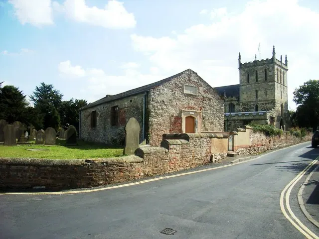
© Stanley Walker · Geograph · CC BY-SA 2.0
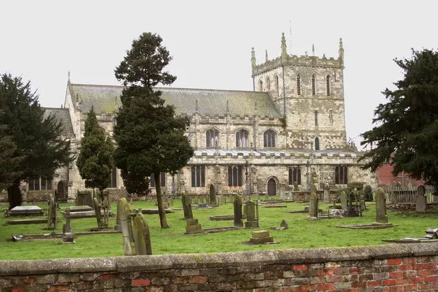
© Gordon Kneale Brooke · Geograph · CC BY-SA 2.0
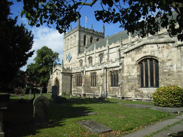
© Stanley Walker · Geograph · CC BY-SA 2.0
Images © their respective photographers, licensed under CC BY-SA 2.0 and reused here with attribution. Photographs depict listed buildings, churches and monuments near this settlement and may show neighbouring villages.
Data derived from the Open Domesday project (opendomesday.org), based on the Domesday Book dataset compiled by Professor J.J.N. Palmer and team. The Domesday Book (1086) is in the public domain.
Found an inaccuracy? [email protected]