Snainton in the Domesday Book (1086)
The 1086 Domesday survey records the settlement of Snainton, entered under the hundred of Dic in Yorkshire.
Other Settlements in Dic
- Aislaby
- Allerston
- Appleton [le Moors]
- Aschelesmersc
- Aschilesmares
- Barton [le Street]
- Baschebi
- Baschesbi
- Brompton
- Burniston
- Burton [Dale]
- Cawthorn
- Cayton
- Chigogemers
The Meaning of the Name
The name Snainton is of Anglo-Saxon origin. Its final element derives from the Old English word tūn, a farmstead or village. The first element is most likely a personal name or an early descriptive term, now difficult to recover with certainty. Taken together the name probably meant something close to ‘a farmstead’.
Remarkably, the name has changed little since 1086, when the Domesday scribes wrote it as Snainton.
Listed Buildings Near Snainton
Historic England records 28 listed buildings within about a mile of Snainton. Listing protects structures of special architectural or historic interest, graded I (exceptional), II* (particularly important) and II.
Grade II
- The Coachman Inn - 0.18 km
- Former outbuildings to the Coachman Inn - 0.22 km
- Low Farmhouse - 0.31 km
- Cliff Farmhouse - 0.32 km
- Welldale Farmhouse - 0.32 km
- Church of St Stephen - 0.33 km
- Garage Approximately 10 Metres East of Holm Farmhouse - 0.33 km
- Lychgate to Church of St Stephen - 0.34 km
- Outbuildings Approximately 5 Metres West of Range of Outbuildings Attached to the Old Hall - 0.35 km
- 52, High Street - 0.37 km
- Merryweathers - 0.37 km
- Cliff Grange - 0.37 km
- Range of Outbuildings Attached to the Old Hall - 0.38 km
- The Old Hall - 0.39 km
- 49 High Street - 0.41 km
- 57, High Street - 0.41 km
- Hill Crest and Attached Gate and Railings to Front - 0.42 km
- 62 and 63, High Street - 0.46 km
- 46, High Street - 0.47 km
- 45, High Street - 0.48 km
- Rosea - 0.49 km
- Grosvenor House - 0.5 km
- 41-43, High Street - 0.5 km
- Oakwood - 0.52 km
…and 4 more listed structures in the area.
Snainton Today
Today Snainton lies within the administrative area of Scarborough, and the settlement recorded a population of 865 at the 2021 census. Nine and a half centuries separate that figure from the small rural community the Domesday survey recorded here in 1086.
Read more about modern Snainton on Wikipedia .
Nearby Domesday Settlements
Other places recorded in the 1086 survey within a few miles:
Heritage Around Snainton
Photographs of churches, listed buildings and monuments in the vicinity, contributed by volunteers to the Geograph project and reused here under a Creative Commons licence.
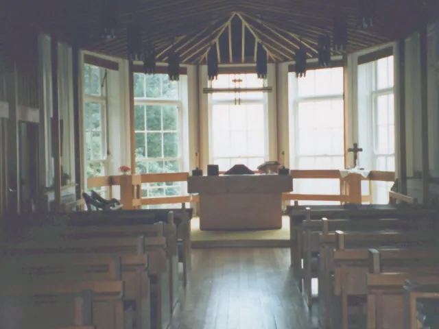
© Stephen Craven · Geograph · CC BY-SA 2.0
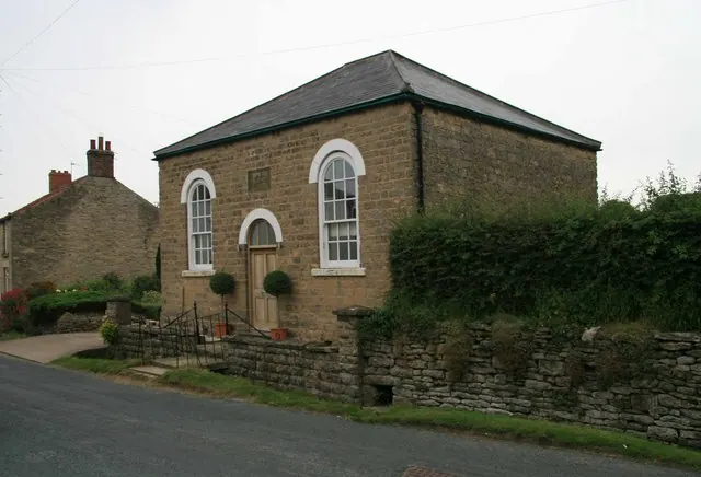
© David Rogers · Geograph · CC BY-SA 2.0
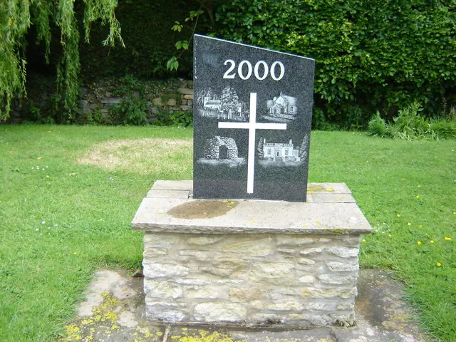
© Martin Dawes · Geograph · CC BY-SA 2.0
Images © their respective photographers, licensed under CC BY-SA 2.0 and reused here with attribution. Photographs depict listed buildings, churches and monuments near this settlement and may show neighbouring villages.
Data derived from the Open Domesday project (opendomesday.org), based on the Domesday Book dataset compiled by Professor J.J.N. Palmer and team. The Domesday Book (1086) is in the public domain.
Found an inaccuracy? [email protected]