Smithdown in the Domesday Book (1086)
The 1086 Domesday survey records the settlement of Smithdown, entered under the hundred of [West] Derby in Cheshire.
Other Settlements in [West] Derby
- Ainsdale
- Allerton
- Argarmeles
- Aughton
- Barton
- Bootle
- Childwall
- Dalton
- Downholland
- Formby
- Halsall
- Hurlston
- Huyton
- Ince [Blundell]
The Meaning of the Name
The origin of the name Smithdown is not securely established from its modern form alone; like many settlement names in the North it likely combines an Old English or Old Norse personal name with a landscape term.
Remarkably, the name has changed little since 1086, when the Domesday scribes wrote it as Smithdown.
Listed Buildings Near Smithdown
Historic England records 260 listed buildings within about a mile of Smithdown. Listing protects structures of special architectural or historic interest, graded I (exceptional), II* (particularly important) and II.
Grade II
- 10, Edge Lane - 0.02 km
- 8, Edge Lane - 0.02 km
- 4 and 6, Edge Lane - 0.03 km
- 2, Edge Lane - 0.04 km
- 12A, Edge Lane - 0.04 km
- Clare Terrace - 0.05 km
- 11, Towerlands Street - 0.08 km
- 14, North View - 0.08 km
- 13, Towerlands Street - 0.08 km
- All Saints’ Vicarage - 0.08 km
- 1, 1A, and 1B, Church Mount - 0.09 km
- 3, Church Mount - 0.09 km
- 13, North View - 0.09 km
- 5 Church Mount - 0.09 km
- Church of All Saints - 0.1 km
- 11 and 12, North View - 0.1 km
- 2 AND 2A, CHURCH MOUNT (See details for further address information) - 0.11 km
- War Memorial at Church of All Saints - 0.11 km
- 4, Church Mount - 0.12 km
- Number 47 and Garden Wall - 0.13 km
- Lamp Standard on Triangular Island - 0.13 km
- Number 45 and Garden Wall - 0.13 km
- 10, North View - 0.13 km
- 8, CHURCH MOUNT (See details for further address information) - 0.13 km
…and 236 more listed structures in the area.
Scheduled Monuments Near Smithdown
Scheduled monuments are nationally important archaeological sites given legal protection. 1 lies within roughly a mile of Smithdown:
Nearby Domesday Settlements
Other places recorded in the 1086 survey within a few miles:
- Toxteth - 2.2 km SW
- Wavertree - 3.2 km E
- Kirkdale - 4.1 km N
- Bootle - 4.5 km NW
- West Derby - 5.0 km NE
- Walton on the Hill - 5.0 km N
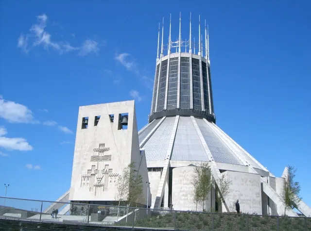
Heritage Around Smithdown
Photographs of churches, listed buildings and monuments in the vicinity, contributed by volunteers to the Geograph project and reused here under a Creative Commons licence.

© Sue Adair · Geograph · CC BY-SA 2.0
© Donna Barber · Geograph · CC BY-SA 2.0

© Alan Walker · Geograph · CC BY-SA 2.0
Images © their respective photographers, licensed under CC BY-SA 2.0 and reused here with attribution. Photographs depict listed buildings, churches and monuments near this settlement and may show neighbouring villages.
Data derived from the Open Domesday project (opendomesday.org), based on the Domesday Book dataset compiled by Professor J.J.N. Palmer and team. The Domesday Book (1086) is in the public domain.
Found an inaccuracy? [email protected]