Slyne in the Domesday Book (1086)
The settlement of Slyne is recorded in William I’s Domesday survey of 1086, entered under the hundred of Amounderness in Yorkshire.
Other Settlements in Amounderness
- Aighton
- Aldcliffe
- Aldingham
- Arkholme
- Aschebi
- Ashton [Hall]
- Ashton [on Ribble]
- Austwick
- Barbon
- Bardsea
- Bare
- Barnoldswick
- Barton
- Beetham
The Meaning of the Name
The origin of the name Slyne is not securely established from its modern form alone; like many settlement names in the North it likely combines an Old English or Old Norse personal name with a landscape term.
Remarkably, the name has changed little since 1086, when the Domesday scribes wrote it as Slyne.
Listed Buildings Near Slyne
Historic England records 29 listed buildings within about a mile of Slyne. Listing protects structures of special architectural or historic interest, graded I (exceptional), II* (particularly important) and II.
Grade II*
- Manor House - 0.55 km
Grade II
- Pinfold, to South of Junction With Throstle Grove - 0.18 km
- Stocks and Stone Seat, at Junction With Throstle Grove - 0.18 km
- Cross Keys and Adjoining Barn - 0.21 km
- Slyne Grange - 0.27 km
- Little Grange - 0.28 km
- Slyne Lodge Hotel - 0.36 km
- Ashton House - 0.38 km
- Gatepiers to Manor House - 0.55 km
- Milestone 25 Metres North of Manor House at Ngr Sd 477 660 - 0.59 km
- Church of St Luke - 0.61 km
- 136, Slyne Road - 0.61 km
- 2 and 4, Hanging Green Lane - 0.67 km
- Milestone Opposite Junction With Prospect Drive at Ngr Sd 471 659 - 0.67 km
- Lancaster Canal Rakes Head Bridge (Number 116) - 0.76 km
- Slyne Hall - 0.84 km
- Lancaster Canal Blind Lane Bridge (Number 115) - 0.86 km
- Boundary Stone 100 Metres North of Drive to Slyne Hall at Ngr Sd 479 663 - 0.91 km
- Milestone 350 Metres North of Beaumont Gate Farm at Ngr Sd 476 644 - 0.99 km
- Lancaster Canal Occupation Bridge (Number 117) - 1.01 km
- 1 and 3, Hest Bank Lane - 1.07 km
- Beaumont Grange - 1.07 km
- Lancaster Canal Canal Bridge (Number 118) - 1.09 km
- Lancaster Canal Belmount Bridge - 1.11 km
…and 5 more listed structures in the area.
Slyne Today
Today Slyne lies within the administrative area of Slyne-with-Hest.
Nearby Domesday Settlements
Other places recorded in the 1086 survey within a few miles:
- Newsham - 1.4 km SE
- Bare - 2.0 km W
- Skerton - 2.0 km S
- Bolton le Sands - 2.2 km NE
- Stapleton Terne - 2.2 km NE
- Torisholme - 2.8 km SW
Heritage Around Slyne
Photographs of churches, listed buildings and monuments in the vicinity, contributed by volunteers to the Geograph project and reused here under a Creative Commons licence.
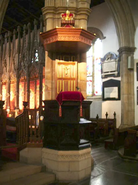
© Alexander P Kapp · Geograph · CC BY-SA 2.0
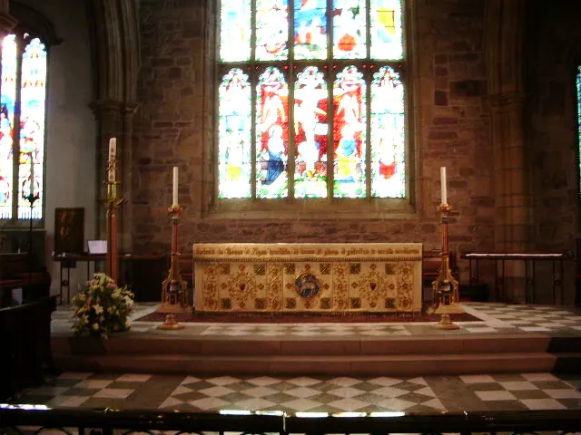
© Alexander P Kapp · Geograph · CC BY-SA 2.0
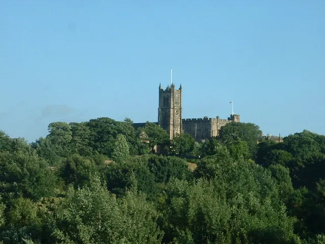
© David Medcalf · Geograph · CC BY-SA 2.0
Images © their respective photographers, licensed under CC BY-SA 2.0 and reused here with attribution. Photographs depict listed buildings, churches and monuments near this settlement and may show neighbouring villages.
Data derived from the Open Domesday project (opendomesday.org), based on the Domesday Book dataset compiled by Professor J.J.N. Palmer and team. The Domesday Book (1086) is in the public domain.
Found an inaccuracy? [email protected]