Sleningford in the Domesday Book (1086)
The 1086 Domesday survey records the settlement of Sleningford, entered under the hundred of Burghshire in Yorkshire.
Other Settlements in Burghshire
- Addlethorpe
- Aismunderby
- Aldfield
- Allerton [Mauleverer]
- Arkendale
- Askwith
- Azerley
- Barrowby [Grange]
- Beckwith [House]
- Besthaim
- Bestham
- Bewerley
- Bilton
- Birstwith
The Meaning of the Name
The name Sleningford is of Anglo-Saxon origin. Its final element derives from the Old English word ford, a river crossing. The first element is most likely a personal name or an early descriptive term, now difficult to recover with certainty. Taken together the name probably meant something close to ‘a ford’.
Remarkably, the name has changed little since 1086, when the Domesday scribes wrote it as Sleningford.
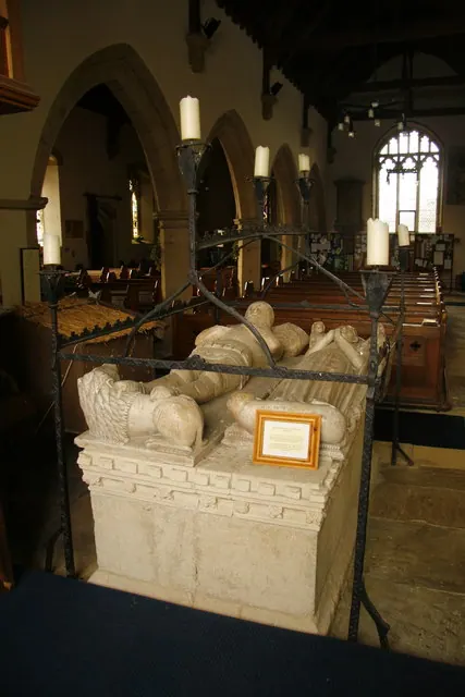
Listed Buildings Near Sleningford
Historic England records 10 listed buildings within about a mile of Sleningford. Listing protects structures of special architectural or historic interest, graded I (exceptional), II* (particularly important) and II.
Grade II
- Sleningford Park - 0.05 km
- Stables Approximately 150 Metres South-west of Sleningford Park - 0.18 km
- Barn Approximately 150 Metres South of Sleningford Park - 0.2 km
- Dovecote Approximately 200 Metres South-west of Sleningford Park - 0.27 km
- Gate Piers, and Gates and Railings Approximately 300 Metres to South-east of Sleningford Park - 0.3 km
- Friars Hurst - 0.51 km
- Sleningford Grange - 0.89 km
- Sleningford Mill - 0.96 km
- Stables Approximately 30 Metres North-east of Old Sleningford Hall - 1.26 km
- Gates, Gate Piers and Flanking Walls With Railings Approximately 100 Metres South of Old Sleningford Hall - 1.29 km
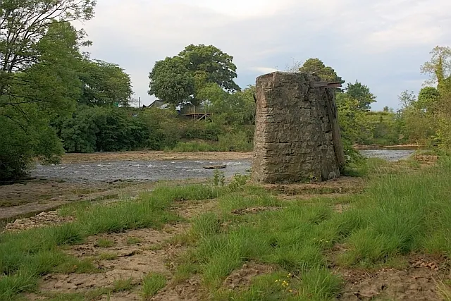
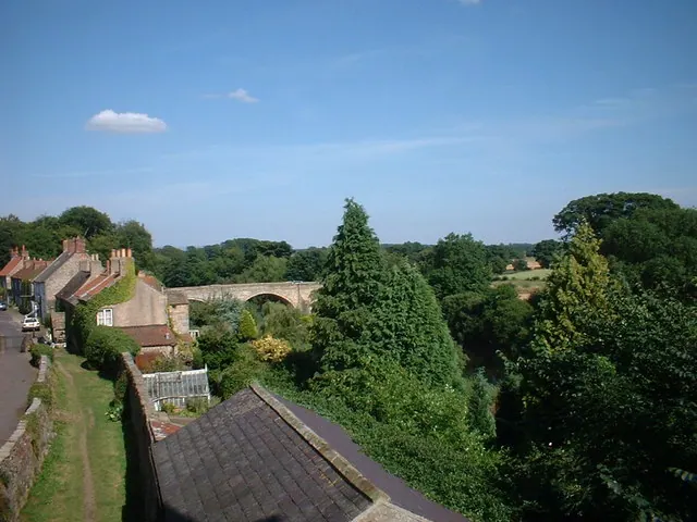
Scheduled Monuments Near Sleningford
Scheduled monuments are nationally important archaeological sites given legal protection. 3 lie within roughly a mile of Sleningford:
- East Tanfield deserted medieval village - 1.37 km
- Tanfield Bridge - 1.4 km
- Marmion Tower (former gatehouse of Tanfield Castle fortified manor) - 1.49 km
Sleningford Today
Today Sleningford lies within the administrative area of North Stainley with Sleningford.
Nearby Domesday Settlements
Other places recorded in the 1086 survey within a few miles:
- East Stainley - 1.0 km E
- East Tanfield - 1.0 km E
- North Stainley - 1.0 km E
- West Tanfield - 2.2 km NW
- Upsland - 3.6 km NE
- Azerley - 3.6 km SW
Heritage Around Sleningford
Photographs of churches, listed buildings and monuments in the vicinity, contributed by volunteers to the Geograph project and reused here under a Creative Commons licence.
© Mick Garratt · Geograph · CC BY-SA 2.0
© David Rogers · Geograph · CC BY-SA 2.0
© Darren Haddock · Geograph · CC BY-SA 2.0
Images © their respective photographers, licensed under CC BY-SA 2.0 and reused here with attribution. Photographs depict listed buildings, churches and monuments near this settlement and may show neighbouring villages.
Data derived from the Open Domesday project (opendomesday.org), based on the Domesday Book dataset compiled by Professor J.J.N. Palmer and team. The Domesday Book (1086) is in the public domain.
Found an inaccuracy? [email protected]