Sledmere in the Domesday Book (1086)
Sledmere is named in the Domesday Book, compiled by Norman commissioners in 1086, entered under the hundred of Toreshou in Yorkshire.
Other Settlements in Toreshou
- Cottam
- Cowlam
- Croom [House]
- Helperthorpe
- Kirby [Grindalythe]
- Knapton
- Newton
- Sherburn
- Thirkleby [Manor]
- Turodebi
- Ulchiltorp
- Weaverthorpe
- [East and West] Lutton
- [East] Heslerton
The Meaning of the Name
The name Sledmere is of Anglo-Saxon origin. Its final element derives from the Old English word mere, a pool or lake. The first element is most likely a personal name or an early descriptive term, now difficult to recover with certainty. Taken together the name probably meant something close to ‘a pool’.
Remarkably, the name has changed little since 1086, when the Domesday scribes wrote it as Sledmere.
Listed Buildings Near Sledmere
Historic England records 30 listed buildings within about a mile of Sledmere. Listing protects structures of special architectural or historic interest, graded I (exceptional), II* (particularly important) and II.
Grade I
- Sledmere House - 0.56 km
Grade II*
- Church of St Mary - 0.61 km
- Stables and Carriage House to Sledmere House - 0.67 km
- Bloodstock Stables and Farmery With Walls and Gate Piers - 0.68 km
Grade II
- Village school and schoolmaster’s house - 0.28 km
- Gates, Lodges and Flanking Walls to Sledmere House - 0.34 km
- Shop Farmhouse - 0.34 km
- The Well and Railings - 0.37 km
- Walled Garden to Sledmere House - 0.39 km
- The Vicarage - 0.45 km
- 1-4, Gardeners Row - 0.48 km
- The Villa - 0.49 km
- Estate Office and Clerk’s House - 0.52 km
- The Triton Inn - 0.53 km
- Former Post Office and Post Master’s House - 0.55 km
- Carthouse and Stables Approximately 5 Metres to East of Triton Cottage - 0.57 km
- Triton Cottage and Barn Adjoining - 0.58 km
- Fountain Approximately 10 Metres to South-west of Sledmere House - 0.58 km
- Cross in St Mary’s Churchyard Approx 1 Metre to West of Tower - 0.63 km
- Cart-sheds Approximately 7 Metres to North-east of Bloodstock Stables - 0.64 km
- Gates, Piers and Walls to Sledmere House From the Stables to the Triton Inn - 0.64 km
- Cart-shed and Work Rooms 3 Metres to North of Bloodstock Stables - 0.68 km
- Stables Approximately 5 Metres to North of Bloodstock Stables - 0.72 km
- Cart-shed Approximately 3 Metres to North-west of Bloodstock Stables - 0.72 km
…and 6 more listed structures in the area.
Scheduled Monuments Near Sledmere
Scheduled monuments are nationally important archaeological sites given legal protection. 1 lies within roughly a mile of Sledmere:
Sledmere Today
Today Sledmere lies within the administrative area of East Riding of Yorkshire, and the settlement recorded a population of 166 at the 2021 census. Nine and a half centuries separate that figure from the small rural community the Domesday survey recorded here in 1086.
Read more about modern Sledmere on Wikipedia .
Nearby Domesday Settlements
Other places recorded in the 1086 survey within a few miles:
- Croom House - 1.0 km N
- Cowlam - 3.2 km E
- Towthorpe - 3.6 km SW
- Thirkleby Manor - 4.1 km N
- Thirkleby Manor - 4.1 km N
- Kirby Grindalythe - 4.2 km NW
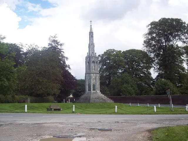
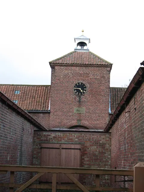
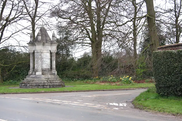
Heritage Around Sledmere
Photographs of churches, listed buildings and monuments in the vicinity, contributed by volunteers to the Geograph project and reused here under a Creative Commons licence.
© Maigheach-gheal · Geograph · CC BY-SA 2.0
© Gordon Hatton · Geograph · CC BY-SA 2.0
© Peter Church · Geograph · CC BY-SA 2.0
Images © their respective photographers, licensed under CC BY-SA 2.0 and reused here with attribution. Photographs depict listed buildings, churches and monuments near this settlement and may show neighbouring villages.
Data derived from the Open Domesday project (opendomesday.org), based on the Domesday Book dataset compiled by Professor J.J.N. Palmer and team. The Domesday Book (1086) is in the public domain.
Found an inaccuracy? [email protected]