Skutterskelfe Hall in the Domesday Book (1086)
Skutterskelfe Hall appears in the Domesday Book of 1086, entered under the hundred of Langbaurgh in Yorkshire.
Other Settlements in Langbaurgh
- Acklam
- Airy [Holme]
- Aislaby
- Arnodestorp
- Baldebi
- Barnaby
- Barwick
- Battersby
- Bergolbi
- Berguluesbi
- Blaten [Carr]
- Borrowby
- Breck
- Brotton
The Meaning of the Name
The origin of the name Skutterskelfe Hall is not securely established from its modern form alone; like many settlement names in the North it likely combines an Old English or Old Norse personal name with a landscape term.
Remarkably, the name has changed little since 1086, when the Domesday scribes wrote it as Skutterskelfe Hall.
Listed Buildings Near Skutterskelfe Hall
Historic England records 4 listed buildings within about a mile of Skutterskelfe Hall. Listing protects structures of special architectural or historic interest, graded I (exceptional), II* (particularly important) and II.
Grade II*
Grade II
- Terrace Walls and Balustrade, Garden Wall and Gate Piers to South and West of Skutterskelfe Hall - 0.47 km
- Pump House to South-west of Skutterskelfe Hall - 0.68 km
- North Lodge and Gateway - 0.73 km
Skutterskelfe Hall Today
Today Skutterskelfe Hall lies within the administrative area of North Yorkshire, and the settlement recorded a population of 116 at the 2021 census. Nine and a half centuries separate that figure from the small rural community the Domesday survey recorded here in 1086.
Read more about modern Skutterskelfe on Wikipedia .
Nearby Domesday Settlements
Other places recorded in the 1086 survey within a few miles:
- Thoraldby Farm - 1.0 km E
- Rudby - 1.4 km SW
- Hutton Rudby - 2.2 km SW
- Middleton upon Leven - 2.8 km NW
- Foxton - 3.2 km W
- Bergolbi - 3.2 km N
Heritage Around Skutterskelfe [Hall]
Photographs of churches, listed buildings and monuments in the vicinity, contributed by volunteers to the Geograph project and reused here under a Creative Commons licence.
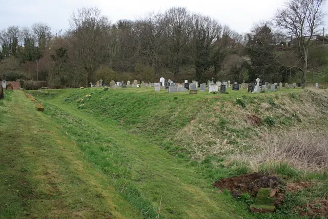
© Mick Garratt · Geograph · CC BY-SA 2.0
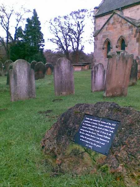
© Geoff Royle · Geograph · CC BY-SA 2.0
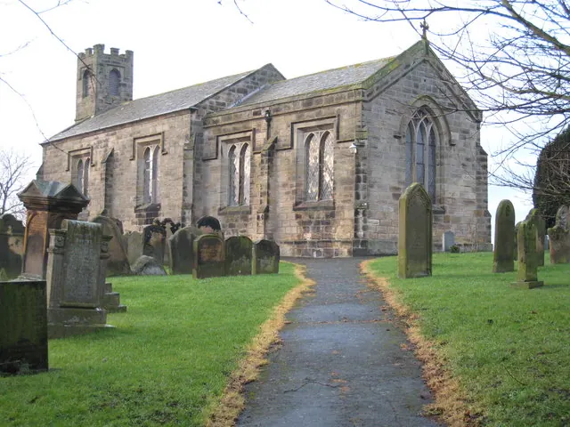
© Philip Barker · Geograph · CC BY-SA 2.0
Images © their respective photographers, licensed under CC BY-SA 2.0 and reused here with attribution. Photographs depict listed buildings, churches and monuments near this settlement and may show neighbouring villages.
Data derived from the Open Domesday project (opendomesday.org), based on the Domesday Book dataset compiled by Professor J.J.N. Palmer and team. The Domesday Book (1086) is in the public domain.
Found an inaccuracy? [email protected]