Skipwith in the Domesday Book (1086)
The 1086 Domesday survey records the settlement of Skipwith, entered under the hundred of Howden in Yorkshire.
Other Settlements in Howden
- Asselby
- Babthorpe
- Barlby
- Barmby [on the Marsh]
- Barnhill [Hall]
- Belby [House]
- Bowthorpe
- Brackenholme
- Burland [House]
- Cavil
- Cliffe
- Cotness [Hall]
- Eastrington
- Hagthorpe
The Meaning of the Name
The name Skipwith is of Scandinavian origin. Its final element derives from the Old Norse word viðr, a wood. The first element is most likely a personal name or an early descriptive term, now difficult to recover with certainty. Taken together the name probably meant something close to ‘a wood’.
Names of this type are a fingerprint of Scandinavian settlement: they cluster across the old Danelaw, where Norse-speaking settlers renamed or founded villages from the late 9th century onward.
Remarkably, the name has changed little since 1086, when the Domesday scribes wrote it as Skipwith.
Listed Buildings Near Skipwith
Historic England records 4 listed buildings within about a mile of Skipwith. Listing protects structures of special architectural or historic interest, graded I (exceptional), II* (particularly important) and II.
Grade I
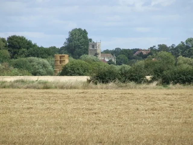
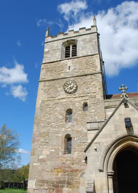
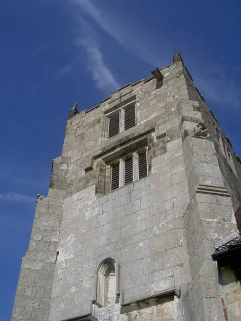
- Church of Saint Helen - 0.88 km
Grade II*
- Skipwith Hall - 0.64 km
Grade II
- Village Hall and School House - 0.4 km
- Skipwith War Memorial - 0.89 km
Scheduled Monuments Near Skipwith
Scheduled monuments are nationally important archaeological sites given legal protection. 6 lie within roughly a mile of Skipwith:
- Moated site and fishpond 140m south of St Helen’s Church - 0.91 km
- Round barrow on Skipwith Common, 810m south of Skipwith Church - 1.29 km
- Round barrow on Skipwith Common, 690m north west of Horseshoe Pond - 1.44 km
- Danes Hills square barrow cemetery on Crook Moor - 1.45 km
- Round barrow on Skipwith Common, 800m south east of Adamson Farm - 1.55 km
- Round barrow on Skipwith Common, 830m south east of Adamson Farm - 1.55 km
Skipwith Today
Today Skipwith lies within the administrative area of Selby, and the settlement recorded a population of 282 at the 2021 census. Nine and a half centuries separate that figure from the small rural community the Domesday survey recorded here in 1086.
Read more about modern Skipwith on Wikipedia .
Nearby Domesday Settlements
Other places recorded in the 1086 survey within a few miles:
- North Duffield - 2.8 km SE
- Thorganby - 3.6 km NE
- Aughton - 4.0 km E
- Ellerton - 4.1 km E
- West Cottingwith - 4.2 km NE
- Gunby - 5.0 km SE
Heritage Around Skipwith
Photographs of churches, listed buildings and monuments in the vicinity, contributed by volunteers to the Geograph project and reused here under a Creative Commons licence.
© frank turner · Geograph · CC BY-SA 2.0
© Simon Huguet · Geograph · CC BY-SA 2.0
© stuart hartley · Geograph · CC BY-SA 2.0
Images © their respective photographers, licensed under CC BY-SA 2.0 and reused here with attribution. Photographs depict listed buildings, churches and monuments near this settlement and may show neighbouring villages.
Data derived from the Open Domesday project (opendomesday.org), based on the Domesday Book dataset compiled by Professor J.J.N. Palmer and team. The Domesday Book (1086) is in the public domain.
Found an inaccuracy? [email protected]