Skerton in the Domesday Book (1086)
Skerton is named in the Domesday Book, compiled by Norman commissioners in 1086, entered under the hundred of Amounderness in Yorkshire.
Other Settlements in Amounderness
- Aighton
- Aldcliffe
- Aldingham
- Arkholme
- Aschebi
- Ashton [Hall]
- Ashton [on Ribble]
- Austwick
- Barbon
- Bardsea
- Bare
- Barnoldswick
- Barton
- Beetham
The Meaning of the Name
The name Skerton is of Anglo-Saxon origin. Its final element derives from the Old English word tūn, a farmstead or village. The first element is most likely a personal name or an early descriptive term, now difficult to recover with certainty. Taken together the name probably meant something close to ‘a farmstead’.
Remarkably, the name has changed little since 1086, when the Domesday scribes wrote it as Skerton.
Listed Buildings Near Skerton
Historic England records 37 listed buildings within about a mile of Skerton. Listing protects structures of special architectural or historic interest, graded I (exceptional), II* (particularly important) and II.
Grade I
- Lancaster Canal Lune Aqueduct - 0.95 km
Grade II*
- Skerton Bridge - 1.18 km
- Maritime Museum - 1.22 km
Grade II
- Hammerton Hall Bridge (Number 111) - 0.46 km
- Church of St Joseph - 0.47 km
- Beaumont Hall Bridge (Number 109) - 0.48 km
- Dacrelands - 0.52 km
- Beaumont Hall - 0.53 km
- Ryelands House - 0.85 km
- Halton Road Bridge (Number 108) - 0.88 km
- Ryelands Lodge - 0.95 km
- Church of St Luke - 0.95 km
- Waggon Works (Front Range and Office) - 0.97 km
- Lancaster Canal Folly Bridge (Number 112) - 1.0 km
- Milestone 350 Metres North of Beaumont Gate Farm at Ngr Sd 476 644 - 1.02 km
- Lancaster Canal Dolphinlee Bridge (Number 105) - 1.06 km
- Lancaster Canal Newton Beck Culvert - 1.1 km
- Skerton Liberal Club - 1.11 km
- 36-37, St Georges Quay - 1.18 km
- 29-33, St Georges Quay - 1.19 km
- 35, St Georges Quay - 1.19 km
- 34, St Georges Quay - 1.19 km
- Wagon and Horses Public House - 1.2 km
- Three Warehouses, Now Part of Number 26, Maritime Museum - 1.21 km
…and 13 more listed structures in the area.
Scheduled Monuments Near Skerton
Scheduled monuments are nationally important archaeological sites given legal protection. 2 lie within roughly a mile of Skerton:
- Skerton Bridge - 1.18 km
- Part of a Roman fort and its associated vicus and remains of a pre-Conquest monastery and a Benedictine priory on Castle Hill - 1.48 km
Nearby Domesday Settlements
Other places recorded in the 1086 survey within a few miles:
- Newsham - 1.4 km NE
- Torisholme - 2.0 km W
- Slyne - 2.0 km N
- Kirk Lancaster - 2.0 km S
- Newton - 2.0 km S
- Lancaster - 2.2 km SE
Heritage Around Skerton
Photographs of churches, listed buildings and monuments in the vicinity, contributed by volunteers to the Geograph project and reused here under a Creative Commons licence.
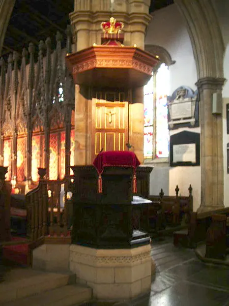
© Alexander P Kapp · Geograph · CC BY-SA 2.0
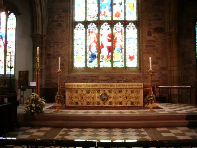
© Alexander P Kapp · Geograph · CC BY-SA 2.0
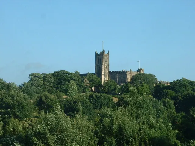
© David Medcalf · Geograph · CC BY-SA 2.0
Images © their respective photographers, licensed under CC BY-SA 2.0 and reused here with attribution. Photographs depict listed buildings, churches and monuments near this settlement and may show neighbouring villages.
Data derived from the Open Domesday project (opendomesday.org), based on the Domesday Book dataset compiled by Professor J.J.N. Palmer and team. The Domesday Book (1086) is in the public domain.
Found an inaccuracy? [email protected]