Skelton in the Domesday Book (1086)
Skelton is named in the Domesday Book, compiled by Norman commissioners in 1086, entered under the hundred of Langbaurgh in Yorkshire.
Other Settlements in Langbaurgh
- Acklam
- Airy [Holme]
- Aislaby
- Arnodestorp
- Baldebi
- Barnaby
- Barwick
- Battersby
- Bergolbi
- Berguluesbi
- Blaten [Carr]
- Borrowby
- Breck
- Brotton
The Meaning of the Name
The name Skelton is of Anglo-Saxon origin. Its final element derives from the Old English word tūn, a farmstead or village. The first element is most likely a personal name or an early descriptive term, now difficult to recover with certainty. Taken together the name probably meant something close to ‘a farmstead’.
Remarkably, the name has changed little since 1086, when the Domesday scribes wrote it as Skelton.
Listed Buildings Near Skelton
Historic England records 37 listed buildings within about a mile of Skelton. Listing protects structures of special architectural or historic interest, graded I (exceptional), II* (particularly important) and II.
Grade I
Grade II*
- Old Church of All Saints - 0.66 km
- Church of All Saints - 0.68 km
Grade II
- 12, High Street - 0.31 km
- 15A and 17, High Street - 0.36 km
- 15, High Street - 0.36 km
- 31, High Street - 0.37 km
- Nursery School and School House - 0.37 km
- 35, High Street - 0.38 km
- 37, High Street - 0.38 km
- 4, East Terrace - 0.38 km
- 45 and 47, High Street - 0.4 km
- Rawcliffe House the Bungalow - 0.41 km
- 17, South Terrace - 0.43 km
- West Terrace - 0.47 km
- Sterne’s Well, Circa 100 Metres South West of Back Lane Farmhouse - 0.48 km
- 1 and 2, Church Lane - 0.6 km
- Gates, Gatepiers and Flanking Walls, 10 Metres North of Number 2 - 0.62 km
- Group of 3 Tombstones, Approximately 20 Metres South West of Tower of Old Church of All Saints - 0.65 km
- Hutton Tombstone Circa 13 Metres South West of Tower of Old Church of All Saints - 0.66 km
- Castle Lodge - 0.8 km
- Gatepiers, Gates and Walls North East of Castle Lodge - 0.81 km
- Workshop and Stable Adjoining South Side of Saw Mill House - 0.85 km
- Saw Mill House - 0.86 km
…and 13 more listed structures in the area.
Skelton Today
Today Skelton lies within the administrative area of Skelton and Brotton.
Read more about modern North Skelton on Wikipedia .
Nearby Domesday Settlements
Other places recorded in the 1086 survey within a few miles:
- Upleatham - 2.2 km NW
- Rawcliff Banks - 2.8 km SW
- Little Moorsholm - 3.6 km SE
- Thornton Fields - 4.0 km W
- Brotton - 4.1 km E
- Tocketts Farm - 4.1 km W
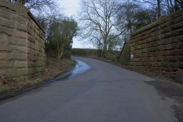
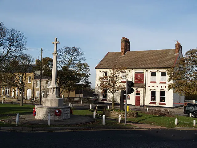
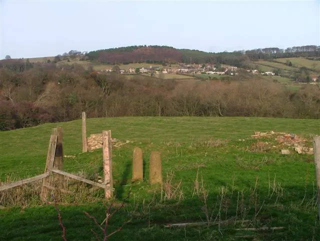
Heritage Around Skelton
Photographs of churches, listed buildings and monuments in the vicinity, contributed by volunteers to the Geograph project and reused here under a Creative Commons licence.
© Mick Garratt · Geograph · CC BY-SA 2.0
© Stephen McCulloch · Geograph · CC BY-SA 2.0
© Mick Garratt · Geograph · CC BY-SA 2.0
Images © their respective photographers, licensed under CC BY-SA 2.0 and reused here with attribution. Photographs depict listed buildings, churches and monuments near this settlement and may show neighbouring villages.
Data derived from the Open Domesday project (opendomesday.org), based on the Domesday Book dataset compiled by Professor J.J.N. Palmer and team. The Domesday Book (1086) is in the public domain.
Found an inaccuracy? [email protected]