Skelton in the Domesday Book (1086)
Skelton is named in the Domesday Book, compiled by Norman commissioners in 1086, entered under the hundred of Hallikeld in Yorkshire.
Other Settlements in Hallikeld
- Brampton [Hall]
- Caldeuuelle
- Cundall
- Dishforth
- Ellenthorpe [Hall]
- Givendale
- Hashundebi
- Holme
- Howgrave
- Hutton [Conyers]
- Kirby [Hill]
- Leckby [Palace]
- Markington
- Milby
The Meaning of the Name
The name Skelton is of Anglo-Saxon origin. Its final element derives from the Old English word tūn, a farmstead or village. The first element is most likely a personal name or an early descriptive term, now difficult to recover with certainty. Taken together the name probably meant something close to ‘a farmstead’.
Remarkably, the name has changed little since 1086, when the Domesday scribes wrote it as Skelton.
Listed Buildings Near Skelton
Historic England records 9 listed buildings within about a mile of Skelton. Listing protects structures of special architectural or historic interest, graded I (exceptional), II* (particularly important) and II.
Grade I
- Skelton Lodges to Newby Hall With Attached Gates and Screen Walls - 0.57 km
- Church of Christ the Consoler, With Eleanor Cross to East - 0.77 km
Grade II
- Church Cottage Approximately 100 Metres East of Church of Christ the Consoler - 0.71 km
- Wall With Gate Piers and Two Sets of Gates Enclosing Churchyard of Christ the Consoler - 0.73 km
- Well in Churchyard Approximately 10 Metres South of Chancel of the Church of Christ the Consoler - 0.75 km
- Mulwith Farmhouse - 0.79 km
- Barn at Se3612268232, Village Farm - 0.89 km
- St Helens Chapel - 0.97 km
- Manor Farmhouse - 1.11 km
Skelton Today
Today Skelton lies within the administrative area of Harrogate, and the settlement recorded a population of 322 at the 2021 census. Nine and a half centuries separate that figure from the small rural community the Domesday survey recorded here in 1086.
Read more about modern Skelton on Ure on Wikipedia .
Nearby Domesday Settlements
Other places recorded in the 1086 survey within a few miles:
- Brampton Hall - 1.0 km S
- Langthorpe - 2.0 km E
- Eastwick - 2.0 km W
- Westwick - 2.2 km SW
- Kirby Hill - 3.2 km E
- Caldeuuelle - 3.2 km N
Heritage Around Skelton
Photographs of churches, listed buildings and monuments in the vicinity, contributed by volunteers to the Geograph project and reused here under a Creative Commons licence.
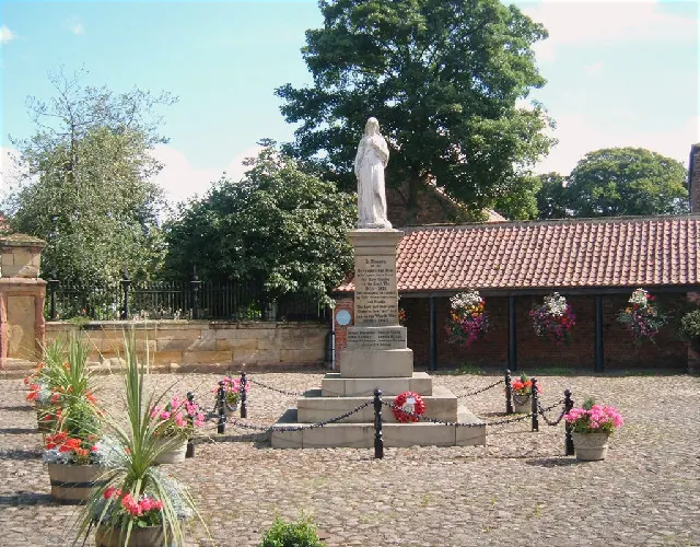
© Alison Stamp · Geograph · CC BY-SA 2.0
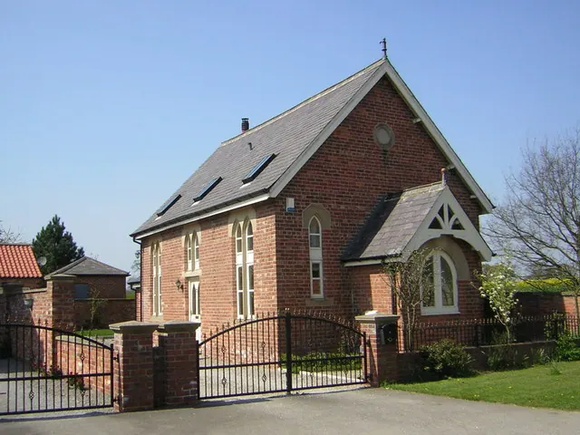
© manonabike · Geograph · CC BY-SA 2.0
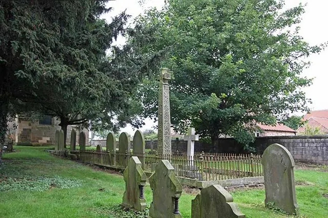
© John Salmon · Geograph · CC BY-SA 2.0
Images © their respective photographers, licensed under CC BY-SA 2.0 and reused here with attribution. Photographs depict listed buildings, churches and monuments near this settlement and may show neighbouring villages.
Data derived from the Open Domesday project (opendomesday.org), based on the Domesday Book dataset compiled by Professor J.J.N. Palmer and team. The Domesday Book (1086) is in the public domain.
Found an inaccuracy? [email protected]