Skelmanthorpe in the Domesday Book (1086)
The 1086 Domesday survey records the settlement of Skelmanthorpe, entered under the hundred of Staincross in Yorkshire.
Other Settlements in Staincross
- Adlingfleet
- Barnby [Hall]
- Barnsley
- Barugh
- Brierley
- Carlton
- Cawthorne
- Chevet
- Clactone
- Clayton [West]
- Darton
- Dodworth
- Hemsworth
- Hoyland [Swaine]
The Meaning of the Name
The name Skelmanthorpe is of Scandinavian origin. Its final element derives from the Old Norse word þorp, an outlying or secondary farmstead. The first element is most likely a personal name or an early descriptive term, now difficult to recover with certainty. Taken together the name probably meant something close to ‘a outlying farm’.
Names of this type are a fingerprint of Scandinavian settlement: they cluster across the old Danelaw, where Norse-speaking settlers renamed or founded villages from the late 9th century onward.
Remarkably, the name has changed little since 1086, when the Domesday scribes wrote it as Skelmanthorpe.
Listed Buildings Near Skelmanthorpe
Historic England records 19 listed buildings within about a mile of Skelmanthorpe. Listing protects structures of special architectural or historic interest, graded I (exceptional), II* (particularly important) and II.
Grade II
- 22 and 24, King Street - 0.22 km
- 12 and 14, Queen Street - 0.27 km
- Manor Farm Jubilee Youth Centre - 0.29 km
- Forecourt Wall and Gates to Central Methodist Church - 0.36 km
- Central Methodist Church - 0.36 km
- 5, Commercial Road - 0.5 km
- Church of St Aidan - 0.66 km
- 39 41 and 43, Station Road - 0.73 km
- 1, Wood Street - 0.77 km
- Barn 20 Yards to West of Lower Busker Farmhouse - 1.05 km
- Engine House Nortonthorpe Mills - 1.13 km
- L Shaped Block at South West Corner of Nortonthorpe Mills - 1.13 km
- Mill Chimney at Nortonthorpe Mills on North Side of River Dearne - 1.15 km
- Milepost 100 Yards West of Number 195 - 1.17 km
- Range of Farm Buildings at Bagden Hall Farm to West of Group - 1.19 km
- Church of St Augustine - 1.24 km
- Main Barn to Gilthwaites Farm (To North East of Farmhouse) - 1.24 km
- Gilthwaites Farmhouse - 1.26 km
- Former Weaving Shop 10 Yards (Approximately) to South West of Gilthwaites Farmhouse - 1.28 km
Skelmanthorpe Today
Today Skelmanthorpe lies within the administrative area of Denby Dale, and the settlement recorded a population of 4,549 at recent figures. Nine and a half centuries separate that figure from the small rural community the Domesday survey recorded here in 1086.
Read more about modern Skelmanthorpe on Wikipedia .
Nearby Domesday Settlements
Other places recorded in the 1086 survey within a few miles:
- Lower Cumberworth - 1.4 km SW
- Upper Cumberworth - 2.8 km SW
- Clayton West - 3.0 km E
- Shelley - 3.2 km W
- Emley - 3.2 km N
- Lower and Upper Denby - 3.2 km S
Heritage Around Skelmanthorpe
Photographs of churches, listed buildings and monuments in the vicinity, contributed by volunteers to the Geograph project and reused here under a Creative Commons licence.
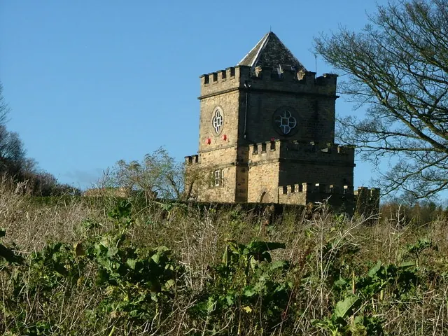
© Nigel Homer · Geograph · CC BY-SA 2.0
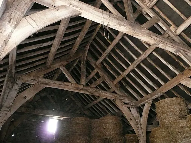
© Wendy North · Geograph · CC BY-SA 2.0
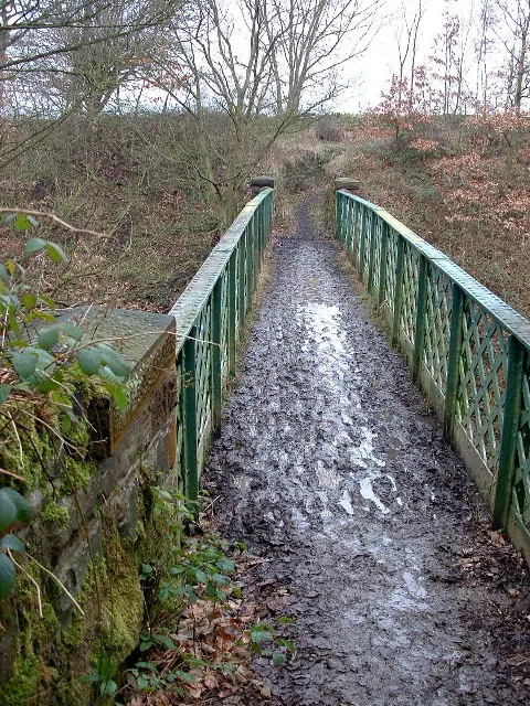
© Nigel Homer · Geograph · CC BY-SA 2.0
Images © their respective photographers, licensed under CC BY-SA 2.0 and reused here with attribution. Photographs depict listed buildings, churches and monuments near this settlement and may show neighbouring villages.
Data derived from the Open Domesday project (opendomesday.org), based on the Domesday Book dataset compiled by Professor J.J.N. Palmer and team. The Domesday Book (1086) is in the public domain.
Found an inaccuracy? [email protected]