Skellow in the Domesday Book (1086)
Skellow appears in the Domesday Book of 1086, entered under the hundred of Osgodcross in Yorkshire.
Other Settlements in Osgodcross
- Arksey
- Badsworth
- Beal
- Burgh[wallis]
- Campsall
- Darrington
- Featherstone
- Ferry [Fryston]
- Hamphall [Stubbs]
- Hensall
- Hessle
- Kellington
- Knottingley
- Minsthorpe
The Meaning of the Name
The origin of the name Skellow is not securely established from its modern form alone; like many settlement names in the North it likely combines an Old English or Old Norse personal name with a landscape term.
Remarkably, the name has changed little since 1086, when the Domesday scribes wrote it as Skellow.
Listed Buildings Near Skellow
Historic England records 5 listed buildings within about a mile of Skellow. Listing protects structures of special architectural or historic interest, graded I (exceptional), II* (particularly important) and II.
Grade II
- Barn Alongside Footpath Immediately to West of Premises of Denbar Potatoes - 0.47 km
- Barn End on to Footpath Immediately to West of Premises of Denbar Potatoes - 0.49 km
- South Farm House - 0.51 km
- Base of Cross at Junction With Cross Hill and Skellow Road - 0.55 km
- Mill Building Approximately 25 Metres to East of House at Skellow Mill - 0.8 km
Scheduled Monuments Near Skellow
Scheduled monuments are nationally important archaeological sites given legal protection. 3 lie within roughly a mile of Skellow:
- Skellow market cross - 0.56 km
- Cromwell’s Batteries motte and bailey castle, Skellow - 0.63 km
- Cross in the churchyard of St Helen’s Church - 1.54 km
Skellow Today
Today Skellow lies within the administrative area of Doncaster, and the settlement recorded a population of 4,103 at recent figures. Nine and a half centuries separate that figure from the small rural community the Domesday survey recorded here in 1086.
Read more about modern Skellow on Wikipedia .
Nearby Domesday Settlements
Other places recorded in the 1086 survey within a few miles:
- Burghwallis - 2.0 km N
- Owston - 2.2 km NE
- Adwick le Street - 2.2 km SE
- Sutton - 2.8 km NE
- Skelbrooke - 2.8 km NW
- Hampole - 3.0 km W
Heritage Around Skellow
Photographs of churches, listed buildings and monuments in the vicinity, contributed by volunteers to the Geograph project and reused here under a Creative Commons licence.
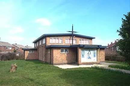
© Bill Henderson · Geograph · CC BY-SA 2.0
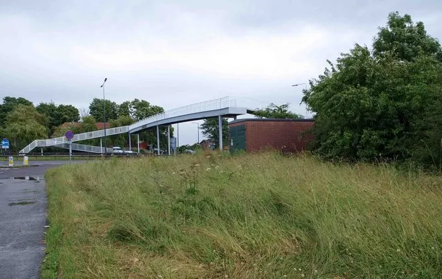
© Steve Fareham · Geograph · CC BY-SA 2.0
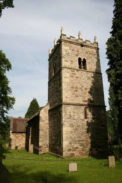
© Richard Croft · Geograph · CC BY-SA 2.0
Images © their respective photographers, licensed under CC BY-SA 2.0 and reused here with attribution. Photographs depict listed buildings, churches and monuments near this settlement and may show neighbouring villages.
Data derived from the Open Domesday project (opendomesday.org), based on the Domesday Book dataset compiled by Professor J.J.N. Palmer and team. The Domesday Book (1086) is in the public domain.
Found an inaccuracy? [email protected]