Skelbrooke in the Domesday Book (1086)
The settlement of Skelbrooke is recorded in William I’s Domesday survey of 1086, entered under the hundred of Osgodcross in Yorkshire.
Other Settlements in Osgodcross
- Arksey
- Badsworth
- Beal
- Burgh[wallis]
- Campsall
- Darrington
- Featherstone
- Ferry [Fryston]
- Hamphall [Stubbs]
- Hensall
- Hessle
- Kellington
- Knottingley
- Minsthorpe
The Meaning of the Name
The origin of the name Skelbrooke is not securely established from its modern form alone; like many settlement names in the North it likely combines an Old English or Old Norse personal name with a landscape term.
Remarkably, the name has changed little since 1086, when the Domesday scribes wrote it as Skelbrooke.
Listed Buildings Near Skelbrooke
Historic England records 9 listed buildings within about a mile of Skelbrooke. Listing protects structures of special architectural or historic interest, graded I (exceptional), II* (particularly important) and II.
Grade II
- Ye Old Stables Skelbrooke Mews - 0.5 km
- Skelbrooke Hall - 0.51 km
- Skelbrooke Hall Gatepiers Including Link Walls - 0.59 km
- Two Medieval Grave Slabs Immediately to North-east of Church of St Michael and All Angels - 0.6 km
- Barn at Hill Farm Immediately to Front Right of Farmhouse - 0.62 km
- Church of St Michael and All Angels - 0.62 km
- Barn at Hill Farm Immediately to Front Left of Farmhouse - 0.64 km
- Summer House Farmhouse and Flat - 0.65 km
- Robin Hood’s Well - 0.78 km
Scheduled Monuments Near Skelbrooke
Scheduled monuments are nationally important archaeological sites given legal protection. 1 lies within roughly a mile of Skelbrooke:
- Roman fort at Robin Hood’s Well - 0.57 km
Skelbrooke Today
Today Skelbrooke lies within the administrative area of Hampole.
Read more about modern Skelbrooke on Wikipedia .
Nearby Domesday Settlements
Other places recorded in the 1086 survey within a few miles:
- Burghwallis - 2.0 km E
- Hamphall Stubbs - 2.2 km SW
- Hampole - 2.2 km SW
- Skellow - 2.8 km SE
- Campsall - 3.6 km NE
- Newsham - 3.6 km NE
Heritage Around Skelbrooke
Photographs of churches, listed buildings and monuments in the vicinity, contributed by volunteers to the Geograph project and reused here under a Creative Commons licence.
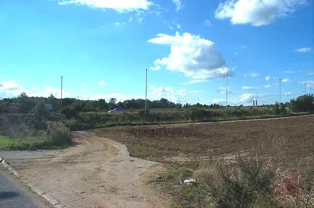
© Bill Henderson · Geograph · CC BY-SA 2.0
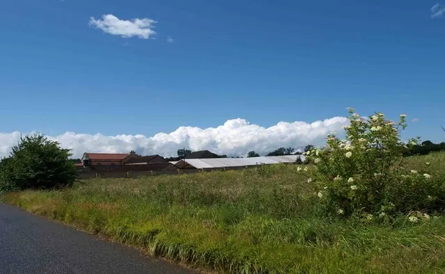
© Steve Fareham · Geograph · CC BY-SA 2.0
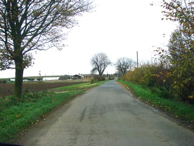
© Bill Henderson · Geograph · CC BY-SA 2.0
Images © their respective photographers, licensed under CC BY-SA 2.0 and reused here with attribution. Photographs depict listed buildings, churches and monuments near this settlement and may show neighbouring villages.
Data derived from the Open Domesday project (opendomesday.org), based on the Domesday Book dataset compiled by Professor J.J.N. Palmer and team. The Domesday Book (1086) is in the public domain.
Found an inaccuracy? [email protected]