Sinnington in the Domesday Book (1086)
Sinnington appears in the Domesday Book of 1086, entered under the hundred of Maneshou in Yorkshire. The survey assessed Sinnington at 1 carucate of taxable land.
The survey records Sinnington’s value at 5d in 1086. No pre-Conquest figure survives – not unusual in the North, where records were disrupted by the Harrying and by the patchy coverage of the survey.
Other Settlements in Maneshou
- Amotherby
- Ampleforth
- Appleton [le Street]
- Beadlam
- Brawby
- Broughton
- Cawton
- Coulton
- Fadmoor
- Fryton
- Gillamoor
- Gilling [East]
- Griff [Farm]
- Grimston
The Meaning of the Name
The name Sinnington is of Anglo-Saxon origin. Its final element derives from the Old English word tūn, a farmstead or village. The first element is most likely a personal name or an early descriptive term, now difficult to recover with certainty. Taken together the name probably meant something close to ‘a farmstead’.
Remarkably, the name has changed little since 1086, when the Domesday scribes wrote it as Sinnington.
Listed Buildings Near Sinnington
Historic England records 20 listed buildings within about a mile of Sinnington. Listing protects structures of special architectural or historic interest, graded I (exceptional), II* (particularly important) and II.
Grade I
Grade II*
- Church of All Saints - 0.58 km
Grade II
- Elmsall House, and associated structures including Elmsall Barn - 0.14 km
- The Fox and Hounds Inn, Attached Cottage and Outbuilding and Railings to Front - 0.19 km
- Willow Cottage - 0.19 km
- K6 Telephone Kiosk Outside Wesleyan Methodist Chapel - 0.28 km
- Wesleyan Methodist Church - 0.28 km
- Bridge Approximately 35 Metres South West of the Village Hall - 0.39 km
- Sinnington Bridge - 0.4 km
- Bridge House and Attached Garage - 0.43 km
- Bridge Farmhouse and Attached Outbuildings - 0.44 km
- Stripe Cottage - 0.46 km
- Seven House - 0.47 km
- Friars Hill Farmhouse and Attached Barn - 0.49 km
- Church Lane Cottage - 0.51 km
- Riverside Farmhouse - 0.53 km
- Chest Tomb and Railings Approximately 1.75 Metres East of All Saints Church - 0.59 km
- Vicarage - 0.59 km
- Mile Post - 0.79 km
- Sinnington Lodge and Attached Garden Wall - 0.88 km
Scheduled Monuments Near Sinnington
Scheduled monuments are nationally important archaeological sites given legal protection. 1 lies within roughly a mile of Sinnington:
Sinnington Today
Today Sinnington lies within the administrative area of North Yorkshire, and the settlement recorded a population of 293 at the 2021 census. Nine and a half centuries separate that figure from the small rural community the Domesday survey recorded here in 1086.
Read more about modern Sinnington on Wikipedia .
Nearby Domesday Settlements
Other places recorded in the 1086 survey within a few miles:
- Wrelton - 2.2 km NE
- Marton - 2.2 km SW
- Aislaby - 3.0 km E
- Thornton Riseborough - 3.0 km S
- Little Edstone - 3.2 km W
- Appleton le Moors - 3.2 km N
Heritage Around Sinnington
Photographs of churches, listed buildings and monuments in the vicinity, contributed by volunteers to the Geograph project and reused here under a Creative Commons licence.
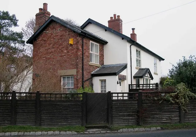
© David Rogers · Geograph · CC BY-SA 2.0
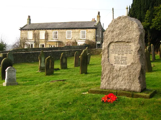
© David Rogers · Geograph · CC BY-SA 2.0
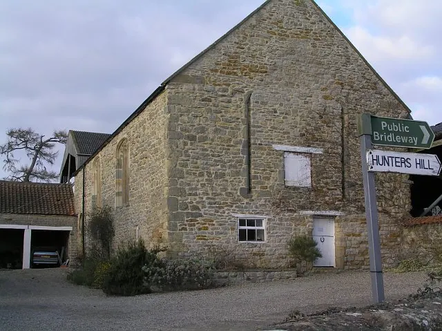
© Colin Grice · Geograph · CC BY-SA 2.0
Images © their respective photographers, licensed under CC BY-SA 2.0 and reused here with attribution. Photographs depict listed buildings, churches and monuments near this settlement and may show neighbouring villages.
Data derived from the Open Domesday project (opendomesday.org), based on the Domesday Book dataset compiled by Professor J.J.N. Palmer and team. The Domesday Book (1086) is in the public domain.
Found an inaccuracy? [email protected]