Silsden in the Domesday Book (1086)
The 1086 Domesday survey records the settlement of Silsden, entered under the hundred of Craven in Yorkshire.
Other Settlements in Craven
- Addingham
- Airton
- Anley
- Appletreewick
- Arncliffe
- Arnford
- Barnoldswick
- Bashall [Eaves]
- Battersby [Barn]
- Beamsley
- Birkby [Hall]
- Bogeuurde
- Bolton [Abbey]
- Bolton [by Bowland]
The Meaning of the Name
The origin of the name Silsden is not securely established from its modern form alone; like many settlement names in the North it likely combines an Old English or Old Norse personal name with a landscape term.
Remarkably, the name has changed little since 1086, when the Domesday scribes wrote it as Silsden.
Listed Buildings Near Silsden
Historic England records 32 listed buildings within about a mile of Silsden. Listing protects structures of special architectural or historic interest, graded I (exceptional), II* (particularly important) and II.
Grade II*
- Waterloo Mill and Attached Engine House - 0.43 km
Grade II
- Milestone Opposite Number 79 - 0.32 km
- Catholic Church of Our Lady of Mount Carmel - 0.34 km
- 5 and 7, St Johns Close - 0.36 km
- 52, St Johns Street and 1-3 (odd), St Johns Close - 0.38 km
- 3 and 4, Stirling Street - 0.38 km
- Numbers 3 and 5 Town Head - 0.41 km
- 7 and 9, Chapel Street - 0.41 km
- Pair of Cottages 10 Metres North West of Number 9 and Attached to Drivers Brothers, North Street Mills - 0.42 km
- Gates and Gate Piers to Front of Church of St James the Great - 0.43 km
- Number 2 Town Head - 0.43 km
- 43, Kirkgate - 0.43 km
- 1, 2 and 3, Nicolson’s Place - 0.44 km
- 9, 11, 13 and 15, St John’s Street - 0.44 km
- Church of St James the Great - 0.45 km
- Pear Tree Cottage - 0.46 km
- Townhead Farmhouse - 0.47 km
- Leeds and Liverpool Canal Aqueduct Over Hainsworth Road and Silsden Beck - 0.49 km
- Ashwell House and Attached Barn and Stables - 0.5 km
- Croft House - 0.52 km
- Old Hall Farmhouse Including Railed Forecourt With Columns - 0.54 km
- Sycamore House and Attached Barn - 0.54 km
- 4 and 6 Greengate - 0.55 km
- Barn 12 Metres to North West of Old Hall Farmhouse - 0.56 km
…and 8 more listed structures in the area.
Scheduled Monuments Near Silsden
Scheduled monuments are nationally important archaeological sites given legal protection. 1 lies within roughly a mile of Silsden:
Silsden Today
Today Silsden lies within the administrative area of Bradford, and the settlement recorded a population of 8,708 at the 2021 census. Nine and a half centuries separate that figure from the small rural community the Domesday survey recorded here in 1086.
Read more about modern Silsden on Wikipedia .
Nearby Domesday Settlements
Other places recorded in the 1086 survey within a few miles:
Heritage Around Silsden
Photographs of churches, listed buildings and monuments in the vicinity, contributed by volunteers to the Geograph project and reused here under a Creative Commons licence.
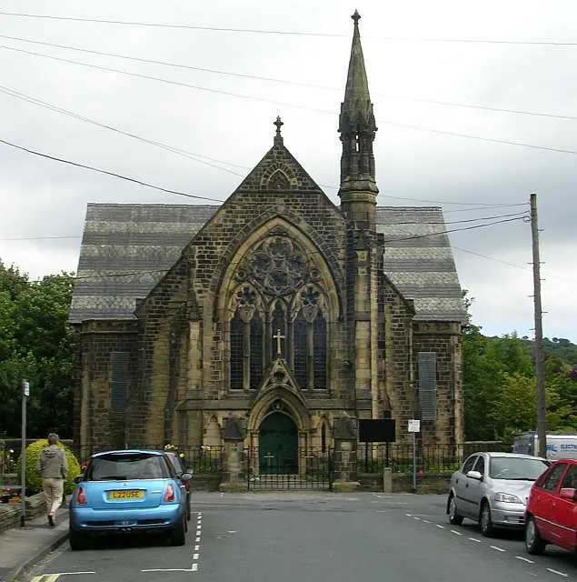
© Betty Longbottom · Geograph · CC BY-SA 2.0
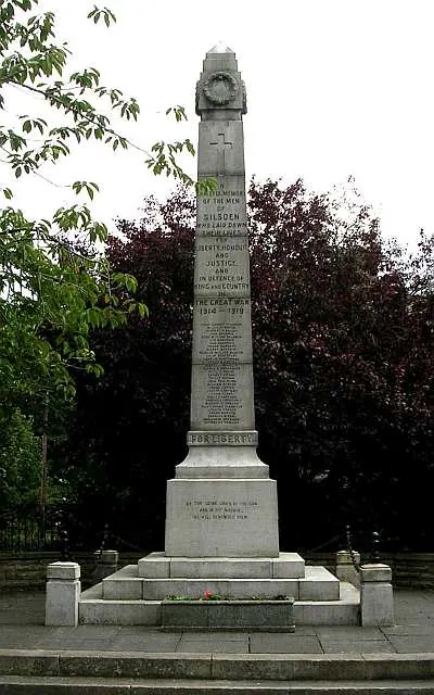
© Betty Longbottom · Geograph · CC BY-SA 2.0
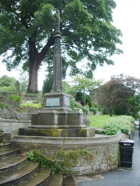
© Alexander P Kapp · Geograph · CC BY-SA 2.0
Images © their respective photographers, licensed under CC BY-SA 2.0 and reused here with attribution. Photographs depict listed buildings, churches and monuments near this settlement and may show neighbouring villages.
Data derived from the Open Domesday project (opendomesday.org), based on the Domesday Book dataset compiled by Professor J.J.N. Palmer and team. The Domesday Book (1086) is in the public domain.
Found an inaccuracy? [email protected]