Silkstone in the Domesday Book (1086)
Silkstone is named in the Domesday Book, compiled by Norman commissioners in 1086, entered under the hundred of Staincross in Yorkshire.
Other Settlements in Staincross
- Adlingfleet
- Barnby [Hall]
- Barnsley
- Barugh
- Brierley
- Carlton
- Cawthorne
- Chevet
- Clactone
- Clayton [West]
- Darton
- Dodworth
- Hemsworth
- Hoyland [Swaine]
The Meaning of the Name
The origin of the name Silkstone is not securely established from its modern form alone; like many settlement names in the North it likely combines an Old English or Old Norse personal name with a landscape term.
Remarkably, the name has changed little since 1086, when the Domesday scribes wrote it as Silkstone.
Listed Buildings Near Silkstone
Historic England records 20 listed buildings within about a mile of Silkstone. Listing protects structures of special architectural or historic interest, graded I (exceptional), II* (particularly important) and II.
Grade I
- Church of All Saints - 0.64 km
Grade II
- Bank House - 0.54 km
- Raised Graveslab (Whitwham) Approximately 15 Metres East of Chancel of Church of All Saints - 0.6 km
- Stocks Approximately 20 Metres North of Ring O’ Bells Public House - 0.61 km
- Raised Graveslab (Beckit) Approximately 5 Metres South East of Chancel of Church of All Saints - 0.61 km
- Tomb Approximately 10 Metres East of Chancel of Church of All Saints - 0.61 km
- Graveslab (Wombersley) Approximately 5 Metres South West of Tower of Church of All Saints - 0.65 km
- Graveslab (Couldwell) Approximately 8 Metres South West of Tower of Church of All Saints - 0.66 km
- Raised Graveslab (Jub) Approximately 8 Metres North West of Tower of Church of All Saints - 0.66 km
- Raised Graveslab (Beardshall) Approximately 10 Metres West of South Side of Tower of Church of All Saints - 0.67 km
- Raised Graveslab (Hawksworth) Approximately 30 Metres North West of Tower of Church of All Saints - 0.68 km
- Raised Graveslab (Downing) Approximately 30 Metres West of North Side of Tower of Church of All Saints - 0.68 km
- Memorial to Huskar Pit Disaster - 0.7 km
- Silkstone War Memorial, Martin Croft, Silkstone, South Yorkshire - 0.74 km
- Hill Top Cottages - 0.82 km
- Field Head Farmhouse - 0.87 km
- Cottage Adjoining to North of Field Head Farmhouse - 0.88 km
- Easternmost Barn at Field Head Farm - 0.94 km
- Woolley Manor - 1.0 km
- Barn Range Approximately 30 Metres South of Woolley Manor Farmhouse Including Woolley Manor Cottage - 1.01 km
Scheduled Monuments Near Silkstone
Scheduled monuments are nationally important archaeological sites given legal protection. 2 lie within roughly a mile of Silkstone:
- Silkstone 17th century glassworks and 18th century pottery, 180m east of All Saints Church - 0.5 km
- Low Mill furnace - 1.32 km
Silkstone Today
Today Silkstone lies within the administrative area of Barnsley, and the settlement recorded a population of 2,961 at the 2021 census. Nine and a half centuries separate that figure from the small rural community the Domesday survey recorded here in 1086.
Nearby Domesday Settlements
Other places recorded in the 1086 survey within a few miles:
- Dodworth - 2.0 km E
- Cawthorne - 2.2 km NW
- Stainborough Castle - 2.8 km SE
- Barnby Hall - 3.0 km N
- Hoyland Swaine - 3.2 km W
- Barugh - 3.6 km NE
Heritage Around Silkstone
Photographs of churches, listed buildings and monuments in the vicinity, contributed by volunteers to the Geograph project and reused here under a Creative Commons licence.
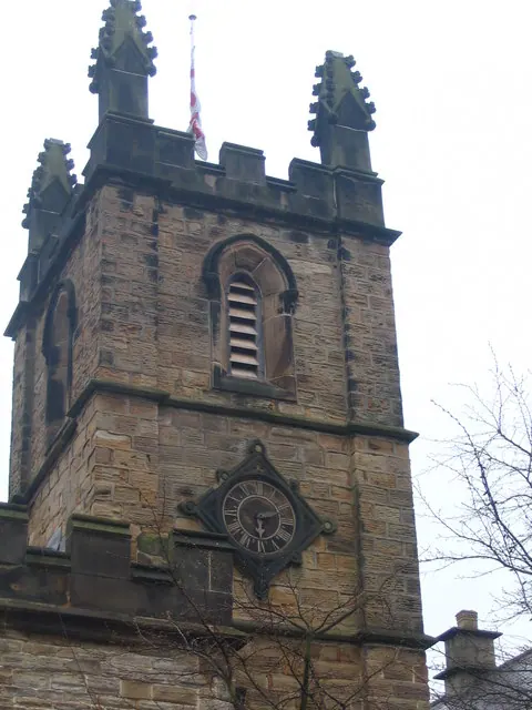
© Dave Pickersgill · Geograph · CC BY-SA 2.0
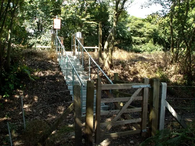
© John Fielding · Geograph · CC BY-SA 2.0
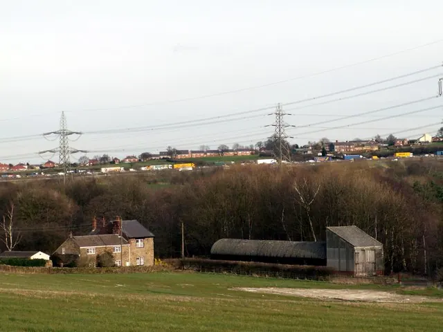
© John Fielding · Geograph · CC BY-SA 2.0
Images © their respective photographers, licensed under CC BY-SA 2.0 and reused here with attribution. Photographs depict listed buildings, churches and monuments near this settlement and may show neighbouring villages.
Data derived from the Open Domesday project (opendomesday.org), based on the Domesday Book dataset compiled by Professor J.J.N. Palmer and team. The Domesday Book (1086) is in the public domain.
Found an inaccuracy? [email protected]