Sicklinghall in the Domesday Book (1086)
The 1086 Domesday survey records the settlement of Sicklinghall, entered under the hundred of Burghshire in Yorkshire. The survey assessed Sicklinghall at 1.2 carucates of taxable land.
At the time of the survey, Sicklinghall supported a recorded population of 12 smallholders, 12 freemanmen, working 3 ploughs between them.
The drop in value is hard to miss. Before 1066, Sicklinghall was worth 1.35 shillings; by 1086 that had dropped to 1.11 shillings – a fall of 17%. Most Yorkshire villages that lost value on this scale were swept up in the Harrying of the North – William’s scorched-earth campaign of 1069–70.
Resources Recorded at Sicklinghall (1086)
- Meadow: 16 acres
Other Settlements in Burghshire
- Addlethorpe
- Aismunderby
- Aldfield
- Allerton [Mauleverer]
- Arkendale
- Askwith
- Azerley
- Barrowby [Grange]
- Beckwith [House]
- Besthaim
- Bestham
- Bewerley
- Bilton
- Birstwith
The Meaning of the Name
The origin of the name Sicklinghall is not securely established from its modern form alone; like many settlement names in the North it likely combines an Old English or Old Norse personal name with a landscape term.
Remarkably, the name has changed little since 1086, when the Domesday scribes wrote it as Sicklinghall.
Listed Buildings Near Sicklinghall
Historic England records 10 listed buildings within about a mile of Sicklinghall. Listing protects structures of special architectural or historic interest, graded I (exceptional), II* (particularly important) and II.
Grade I
- Stockeld Park House - 0.85 km
Grade II*
Grade II
- Glebe House - 0.34 km
- Church of St Mary Immaculate (Rc), With Presbytery and Former Monastery Attached - 0.41 km
- Old Stud Farmhouse - 0.48 km
- Garden Walls With Archways and Gates, Approximately 150 Metres West of Stockeld Park House - 0.68 km
- Summer House Approximately 20 Metres West of Stockeld Park House - 0.82 km
- The Chapel, Stockeld Park - 0.91 km
- Coach House and Workshop, Stockeld Park - 0.93 km
- Stables and Office, Stockeld Park - 0.95 km
Sicklinghall Today
Today Sicklinghall lies within the administrative area of Harrogate, and the settlement recorded a population of 365 at the 2021 census. Nine and a half centuries separate that figure from the small rural community the Domesday survey recorded here in 1086.
Read more about modern Sicklinghall on Wikipedia .
Nearby Domesday Settlements
Other places recorded in the 1086 survey within a few miles:
- Addlethorpe - 2.0 km W
- Kearby Town End - 2.8 km SW
- Caldeuuelle - 3.0 km N
- Cradeuuelle - 3.0 km N
- Spofforth - 3.0 km N
- Barrowby Grange - 3.2 km W
Heritage Around Sicklinghall
Photographs of churches, listed buildings and monuments in the vicinity, contributed by volunteers to the Geograph project and reused here under a Creative Commons licence.
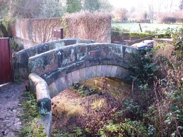
© Gordon Hatton · Geograph · CC BY-SA 2.0
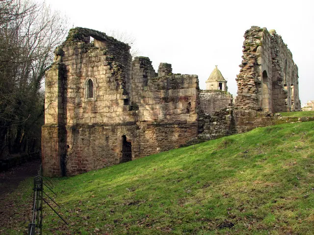
© John Sutton · Geograph · CC BY-SA 2.0
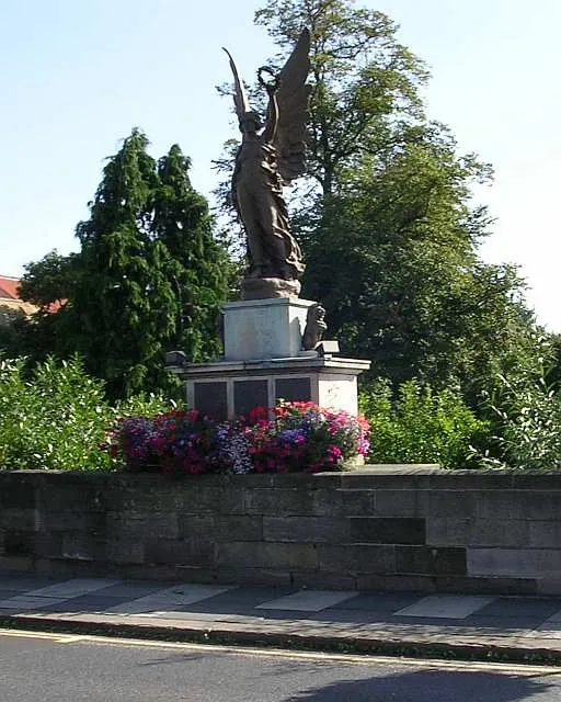
© Betty Longbottom · Geograph · CC BY-SA 2.0
Images © their respective photographers, licensed under CC BY-SA 2.0 and reused here with attribution. Photographs depict listed buildings, churches and monuments near this settlement and may show neighbouring villages.
Data derived from the Open Domesday project (opendomesday.org), based on the Domesday Book dataset compiled by Professor J.J.N. Palmer and team. The Domesday Book (1086) is in the public domain.
Found an inaccuracy? [email protected]