Shuckstone in the Domesday Book (1086)
Shuckstone appears in the Domesday Book of 1086, entered under the hundred of Morleystone in Derbyshire. The survey assessed Shuckstone at 5 carucates of taxable land.
At the time of the survey, Shuckstone supported a recorded population of 6 villagers, 1 smallholder, 5 slaves, working 6 ploughs between them.
The numbers record a sharp fall. Before 1066, Shuckstone was worth 6 shillings; by 1086 that had dropped to 5 shillings – a fall of 16%. Most Yorkshire villages that lost value on this scale were swept up in the Harrying of the North – William’s scorched-earth campaign of 1069–70.
Resources Recorded at Shuckstone (1086)
- Meadow: 5 ploughs
Other Settlements in Morleystone
- Bradley
- Breadsall
- Breaston
- Cellesdene
- Chaddesden
- Codnor
- Crich
- Denby
- Derby
- Draycott
- Duffield
- Hallam
- Heanor
- Herdebi
The Meaning of the Name
The origin of the name Shuckstone is not securely established from its modern form alone; like many settlement names in the North it likely combines an Old English or Old Norse personal name with a landscape term.
Remarkably, the name has changed little since 1086, when the Domesday scribes wrote it as Shuckstone.
Listed Buildings Near Shuckstone
Historic England records 6 listed buildings within about a mile of Shuckstone. Listing protects structures of special architectural or historic interest, graded I (exceptional), II* (particularly important) and II.
Grade II*
Grade II
- Cruck Barn to the North-west of Beech Farmhouse - 0.41 km
- Glebe Farmhouse - 0.97 km
- Cruck Barn to the West of Lindway Lane Farmhouse - 1.02 km
- Lindway Lane Farmhouse - 1.04 km
- Plaistow Grange Farmhouse - 1.22 km
Shuckstone Today
Today Shuckstone lies within the administrative area of Crich.
Read more about modern Wheatcroft on Wikipedia .
Nearby Domesday Settlements
Other places recorded in the 1086 survey within a few miles:
- Lea - 1.0 km W
- Tansley - 2.8 km NW
- Wessington - 3.0 km E
- Crich - 3.2 km S
- South? Wingfield - 3.6 km SE
- Ogston - 4.5 km NE
Heritage Around Shuckstone
Photographs of churches, listed buildings and monuments in the vicinity, contributed by volunteers to the Geograph project and reused here under a Creative Commons licence.
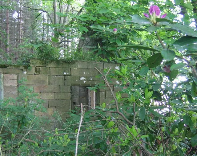
© Nikki Mahadevan · Geograph · CC BY-SA 2.0
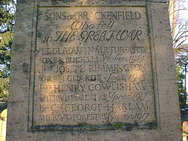
© Alan Heardman · Geograph · CC BY-SA 2.0
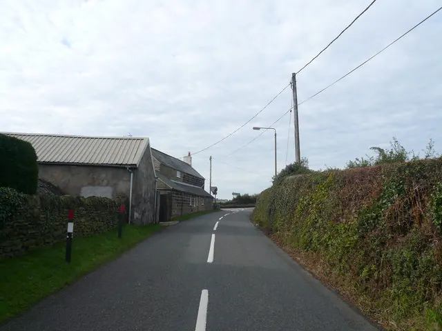
© Alan Heardman · Geograph · CC BY-SA 2.0
Images © their respective photographers, licensed under CC BY-SA 2.0 and reused here with attribution. Photographs depict listed buildings, churches and monuments near this settlement and may show neighbouring villages.
Data derived from the Open Domesday project (opendomesday.org), based on the Domesday Book dataset compiled by Professor J.J.N. Palmer and team. The Domesday Book (1086) is in the public domain.
Found an inaccuracy? [email protected]