Shirland in the Domesday Book (1086)
Shirland appears in the Domesday Book of 1086, entered under the hundred of Scarsdale in Derbyshire.
Other Settlements in Scarsdale
- Alfreton
- Ashover
- Barlborough
- Barlow
- Beighton
- Blingsby
- Bolsover
- Boythorpe
- Bramley [Vale]
- Brimington
- Calow
- Chesterfield
- Clowne
- Dore
The Meaning of the Name
The origin of the name Shirland is not securely established from its modern form alone; like many settlement names in the North it likely combines an Old English or Old Norse personal name with a landscape term.
Remarkably, the name has changed little since 1086, when the Domesday scribes wrote it as Shirland.
Listed Buildings Near Shirland
Historic England records 27 listed buildings within about a mile of Shirland. Listing protects structures of special architectural or historic interest, graded I (exceptional), II* (particularly important) and II.
Grade II*
- Church of St Leonard - 0.37 km
Grade II
- Yew Tree Farmhouse - 0.39 km
- Shirland House and Attached Stableblock - 0.43 km
- 1, Town End - 0.43 km
- 53 Main Road - 0.62 km
- Mile Post 10 Metres South East of Carr Hill Farmhouse - 0.66 km
- No 43, Higham - 0.7 km
- 77 and 79, Higham - 0.7 km
- Higham House - 0.72 km
- 33, Main Road - 0.72 km
- The Crown Hotel and no 32, Higham - 0.74 km
- Cross House - 0.82 km
- Number 29 and Attached Cottage - 0.84 km
- Nos 26, 27 and 28 With Attached Barn, Higham - 0.86 km
- Village Cross, Higham - 0.86 km
- Stable Block to East of Bull Farmhouse, Higham - 0.89 km
- Mill at Higham Dairy Farm - 0.9 km
- The Haven, Higham - 0.9 km
- Bull Farmhouse, Higham - 0.91 km
- Holly Tree Farmhouse - 0.99 km
- Well Farm, No 10 and attached barn - 1.0 km
- Nos 22 and 23 Higham - 1.0 km
- 13, 13A, 14, and 15, Higham, Main Road - 1.02 km
- 11, Main Road - 1.04 km
…and 3 more listed structures in the area.
Shirland Today
Today Shirland lies within the administrative area of Shirland and Higham.
Read more about modern Shirland on Wikipedia .
Nearby Domesday Settlements
Other places recorded in the 1086 survey within a few miles:
- Ogston - 1.4 km NW
- Ufton - 2.0 km S
- Wessington - 2.2 km SW
- Morton - 2.2 km NE
- Stretton - 3.0 km N
- South? Wingfield - 3.6 km SW
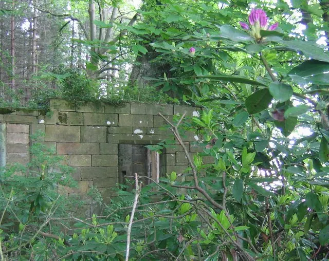
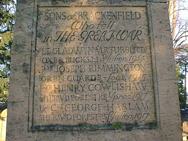
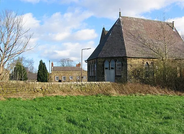
Heritage Around Shirland
Photographs of churches, listed buildings and monuments in the vicinity, contributed by volunteers to the Geograph project and reused here under a Creative Commons licence.
© Nikki Mahadevan · Geograph · CC BY-SA 2.0
© Alan Heardman · Geograph · CC BY-SA 2.0
© Nikki Mahadevan · Geograph · CC BY-SA 2.0
Images © their respective photographers, licensed under CC BY-SA 2.0 and reused here with attribution. Photographs depict listed buildings, churches and monuments near this settlement and may show neighbouring villages.
Data derived from the Open Domesday project (opendomesday.org), based on the Domesday Book dataset compiled by Professor J.J.N. Palmer and team. The Domesday Book (1086) is in the public domain.
Found an inaccuracy? [email protected]